
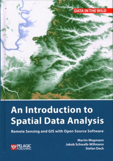
An Introduction to Spatial Data Analysis – hinnat ja saatavuus
Remote Sensing and GIS with Open Source Software
Kirjafiili on kirjojen hintavertailu. Löydä halvin hinta 27 kirjakaupasta. Hintavertailu koskee ISBN-tunnusta 9781784272128 (sidottu).
Muut painokset ja formaatit
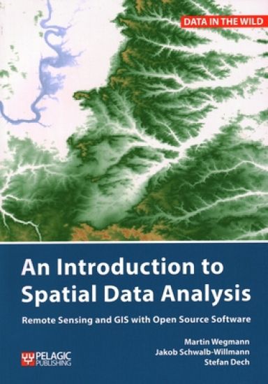
Kirjan kuvaus
This is a book about how ecologists can integrate remote sensing and GIS in their research. It will allow readers to get started with the application of remote sensing and to understand its potential and limitations. Using practical… Näytä koko kuvaus Piilota kuvaus
This is a book about how ecologists can integrate remote sensing and GIS in their research. It will allow readers to get started with the application of remote sensing and to understand its potential and limitations. Using practical examples, the book covers all necessary steps from planning field campaigns to deriving ecologically relevant information through remote sensing and modelling of species distributions. An Introduction to Spatial Data Analysis introduces spatial data handling using the open source software Quantum GIS (QGIS). In addition, readers will be guided through their first steps in the R programming language. The authors explain the fundamentals of spatial data handling and analysis, empowering the reader to turn data acquired in the field into actual spatial data. Readers will learn to process and analyse spatial data of different types and interpret the data and results. After finishing this book, readers will be able to address questions such as “What is the distance to the border of the protected area?”, “Which points are located close to a road?”, “Which fraction of land cover types exist in my study area?” using different software and techniques. This book is for novice spatial data users and does not assume any prior knowledge of spatial data itself or practical experience working with such data sets. Readers will likely include student and professional ecologists, geographers and any environmental scientists or practitioners who need to collect, visualize and analyse spatial data. The software used is the widely applied open source scientific programs QGIS and R. All scripts and data sets used in the book will be provided online at book.ecosens.org. This book covers specific methods including: what to consider before collecting in situ datahow to work with spatial data collected in situthe difference between raster and vector datahow to acquire further vector and raster datahow to create relevant environmental informationhow to combine and analyse in situ and remote sensing datahow to create useful maps for field work and presentationshow to use QGIS and R for spatial analysishow to develop analysis scripts
Kirjan tiedot
Vertaa kirjan ”An Introduction to Spatial Data Analysis” hintoja
Vertaa tuotteen hintaa ja arvioitua kokonaishintaa toimitettuna. Kaikki hinnat koskevat ISBN-tunnusta 9781784272128.
Hintoja ei päivitetty automaattisesti. Voit hakea ajantasaiset hinnat painamalla Hae hinnat.

Booky

Suomalainen

Kansallinen Kirjakauppa

Prisma

Finlandia Kirja

Fantasiapelit

Vinhan kirjakauppa

CDON

Kustantamo S&S

Kennys.ie

Kristillinenkirjakauppa.fi

Sacrum

Adlibris

BookOutlet.fi

Kirja.fi

Rosebud
Tälle kirjalle ei ole tällä hetkellä vahvistettua hintaa. Tarkista tilanne myöhemmin uudelleen.
Hintoja ei ole vielä päivitetty.
Hälytys tallennettu!
Ilmoitamme, kun hinta laskee.
Saat sähköpostin, kun hinta laskee asettamaasi rajaan tai sen alle.
An Introduction to Spatial Data Analysis – hintahistoria
Seuraamme kirjan An Introduction to Spatial Data Analysis hintakehitystä kirjakaupoissa. Taulukosta näet viime kuukausien alimmat hinnat.
Alin hinta kauppoittain
Kunkin kaupan alin hinta viimeisten 90 päivän aikana.
Hintahistoriaa ei ole vielä kerätty tälle kirjalle.
Hinnat ilman toimituskuluja.