
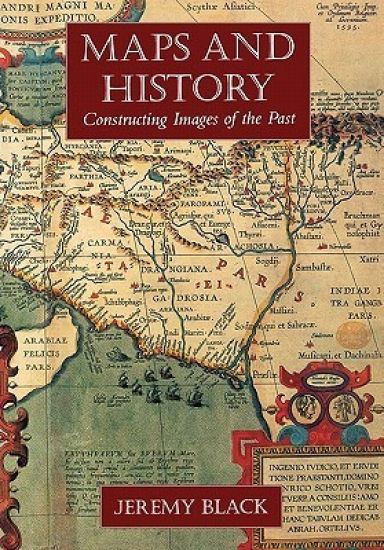
Maps and History – hinnat ja saatavuus
Constructing Images of the Past
Kirjafiili on kirjojen hintavertailu. Löydä halvin hinta 26 kirjakaupasta. Hintavertailu koskee ISBN-tunnusta 9780300086935 (pokkari).
Kirjan kuvaus
Historical atlases offer an understanding of the past that is invaluable to historians, not only because they convey a previous age's sense of space and distance but also because they reveal what historians and educators of those periods… Näytä koko kuvaus Piilota kuvaus
Historical atlases offer an understanding of the past that is invaluable to historians, not only because they convey a previous age's sense of space and distance but also because they reveal what historians and educators of those periods thought important to include or omit. This book—the first comprehensive and wide-ranging account of the historical atlas—explores the role, development, and nature of this important reference and discusses its impact on the presentation of the past. Jeremy Black begins with a consideration of the "pre-history" of the historical atlas: individual maps depicting the Holy Land at the time of Christ and maps of the classical world. He then examines the first known historical atlas, the Parergon of Abraham Ortel, which was published in Antwerp in 1579 and was followed by other works that mapped the world of the Bible and the classics. In the eighteenth century, there was a growing interest in mapping the post-Classical world, and works appeared that included maps of medieval Europe. In the nineteenth century, historical maps came increasingly to embody a clear political emphasis, mapping blocs of territory separated by clear linear frontiers and reflecting an approach to the past focused on undivided sovereignty and the development of the nation-state. In the twentieth century, historical atlases have both contributed to and responded to other ideologies, portraying peoples, languages, and cultural differences in an immediate and often striking visual form. Since 1945 the range of atlases has broadened to include maps devoted to the global environment, health, population trends, and other sociological, cultural, and economic changes. And the "liberation" of the Third World and the ending of the Cold War have stimulated a full scale re-mapping of the globe and the way it is perceived.
Kirjan tiedot
Vertaa kirjan ”Maps and History” hintoja
Vertaa tuotteen hintaa ja arvioitua kokonaishintaa toimitettuna. Kaikki hinnat koskevat ISBN-tunnusta 9780300086935.

Booky

Suomalainen

Kansallinen Kirjakauppa

Prisma

Finlandia Kirja

Fantasiapelit

Vinhan kirjakauppa

CDON

Kennys.ie

Kristillinenkirjakauppa.fi

Sacrum

Adlibris

BookOutlet.fi

Kirja.fi

Rosebud
Tälle kirjalle ei ole tällä hetkellä vahvistettua hintaa. Tarkista tilanne myöhemmin uudelleen.
Hintoja ei ole vielä päivitetty.
Hälytys tallennettu!
Ilmoitamme, kun hinta laskee.
Saat sähköpostin, kun hinta laskee asettamaasi rajaan tai sen alle.
Maps and History – hintahistoria
Seuraamme kirjan Maps and History hintakehitystä kirjakaupoissa. Taulukosta näet viime kuukausien alimmat hinnat.
Alin hinta kauppoittain
Kunkin kaupan alin hinta viimeisten 90 päivän aikana.
Hintahistoriaa ei ole vielä kerätty tälle kirjalle.
Hinnat ilman toimituskuluja.