

Kirjailija
Alasdair Rae
Kirjat ja teokset yhdessä paikassa: 4 kirjaa, julkaisuja vuosilta 2019–2026, suosituimpiin kuuluu Britain in 55 Maps. Vertaile teosten hintoja ja tarkista saatavuus suomalaisista kirjakaupoista.
4 kirjaa
Kirjojen julkaisuvuodet: 2019–2026.
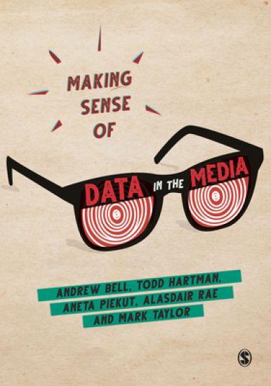
Making Sense of Data in the Media
Andrew Bell; Todd Hartman; Aneta Piekut; Alasdair Rae; Mark Taylor
SAGE Publications Ltd
2019
sidottu
The amount of data produced, captured and transmitted through the media has never been greater. But for this data to be useful, it needs to be properly understood and claims made about or with data need to be properly scrutinized. Through a series of examples of statistics in the media, this book shows you how to critically assess the presentation of data in the media, to identify what is significant and to sort verifiable conclusions from misleading claims. How accurate are polls, and how should we know? How should league tables be read? Are numbers presented as ‘large’ really as big as they may seem at first glance? By answering these questions and more, readers will learn a number of statistical concepts central to many undergraduate social science statistics courses. By tying them in to real life examples, the importance and relevance of these concepts comes to life. As such, this book does more than teaches techniques needed for a statistics course; it teaches you life skills that we need to use every single day.
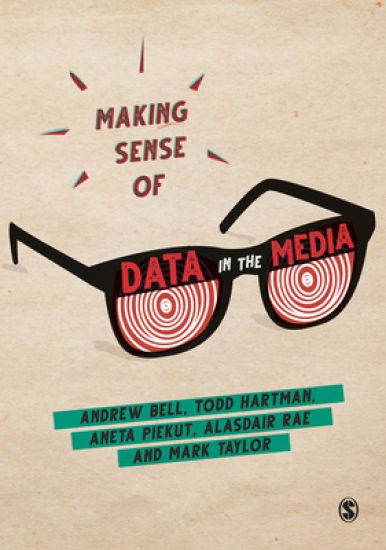
Making Sense of Data in the Media
Andrew Bell; Todd Hartman; Aneta Piekut; Alasdair Rae; Mark Taylor
SAGE Publications Ltd
2019
nidottu
The amount of data produced, captured and transmitted through the media has never been greater. But for this data to be useful, it needs to be properly understood and claims made about or with data need to be properly scrutinized. Through a series of examples of statistics in the media, this book shows you how to critically assess the presentation of data in the media, to identify what is significant and to sort verifiable conclusions from misleading claims. How accurate are polls, and how should we know? How should league tables be read? Are numbers presented as ‘large’ really as big as they may seem at first glance? By answering these questions and more, readers will learn a number of statistical concepts central to many undergraduate social science statistics courses. By tying them in to real life examples, the importance and relevance of these concepts comes to life. As such, this book does more than teaches techniques needed for a statistics course; it teaches you life skills that we need to use every single day.
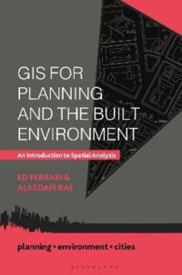
This engaging and practical guide is a much-needed new textbook that illustrates the power of geographic information systems (GIS) and spatial analysis. Today’s planner has a wealth of data available to them, much of which is increasingly linked to a specific location. From football clubs to Twitter conversations, government spending to the spread of diseases – data can be mapped. Once mapped, the data begins to tell stories, patterns are revealed, and effective planning decisions can be made. When used effectively, GIS allows students, planners, residents and policymakers to solve wicked problems in the environment, society and the economy. Geospatial data is now more freely available than it ever has been, as is much of the necessary software to analyse it. This contemporary text offers a practical guide to spatial analysis and what it can show us. In addition to explaining what GIS is and why it is such a powerful tool, the authors cover such topics as geovisualization, mapping principles, network analysis and decision making. Offering more than just theoretical or technical principles and concepts, the book applies GIS techniques to the real world, draws on global examples and provides practical advice on mapping the built environment. This accessible text is essential reading for undergraduate and postgraduate students taking planning modules on GIS, data analysis and mapping, as well as for all planners, urbanists and geographers with an interest in how GIS can help us better understand the built environment from a socio-economic perspective.