Kirjojen hintavertailu – 12 859 824 kirjaa ja 27 kauppaa

Kirjailija

Andrew McCluggage

Kirjat ja teokset yhdessä paikassa: 32 kirjaa, julkaisuja vuosilta 2018–2026, suosituimpiin kuuluu Walking in the Brianconnais. Vertaile teosten hintoja ja tarkista saatavuus suomalaisista kirjakaupoista.

32 kirjaa

Kirjojen julkaisuvuodet: 2018–2026.

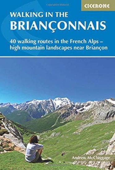
Walking in the Brianconnais

Walking in the Brianconnais

Andrew McCluggage

CICERONE PRESS
2018
nidottu
The 40 walks in this guidebook explore the stunning summer landscapes around Briançon. Walks range from 4 to 21km, and cover the valleys of Clarée, Cerveyrette, Ayes, Durance and Guisane, as well as the area around Vallouise and Montgenèvre. All the routes are circular and graded from easy to very hard, so there are walks to suit all abilities. Alongside detailed route descriptions and maps, the guidebook provides practical advice on when to visit and the best bases for exploring the region. There are notes on plants and wildlife, and information on the many hill forts in the area. Stunning photographs add to the appeal of this informative guide. The Briançonnais is a stunning mountain wilderness packed with snow-capped peaks, idyllic Alpine valleys, pastures full of wildflowers, sparkling alpine lakes, historic hill forts and a labyrinth of quiet paths. With a rural charm and a milder climate than the northern Alps, it is a region ripe for discovery, and this guide is the perfect place to start.

Trekking the Dolomites AV2

Trekking the Dolomites AV2

Andrew McCluggage

Knife Edge Outdoor Limited
2026
Nidottu
The ultimate planning guide for the Dolomites Alta Via 2 which is one of the most spectacular and exhilarating treks in Europe. This book describes both the main route and a host of variants (some of which are not found elsewhere). Includes: - Real Tabacco maps inside: 1:25,000. No other book has this. All accommodation is marked on the maps. - Free GPX downloads. - Unique Itinerary Planner: plan a bespoke itinerary to match your ability and vacation schedule. All difficult calculations of time, distance and altitude gain are done for you. - 7 different multi-day itineraries of between 7 and 13 days. No other book contains so much detail on AV2 itinerary planning. - Full accommodation listings. - Wild camping rules explained. - Travel to the trail-heads. - Equipment and travelling light. - Everything the trekker needs to know to plan the route: route descriptions, costs, budget, difficulty, weather, how to get there, and more. - Information for both self-guided and guided trekkers. The AV2 is one of the premier long-distance trekking routes in the Dolomites and is the perfect way to explore the range's exquisite beauty. It is a linear route, entirely within Italy, between Bressanone-Brixen in the north and Feltre in the south. On the journey, you will cross incredible high mountain passes, enabling travel from magnificent valley to magnificent valley. You will roam remote alpine plateaus and wonderful grassy pastures bedecked with carpets of wild-flowers (the like of which you will never have seen before). And at all times, you are surrounded by the rugged dolomite peaks for which the region is so famous. This trek should be on your hiking bucket list.
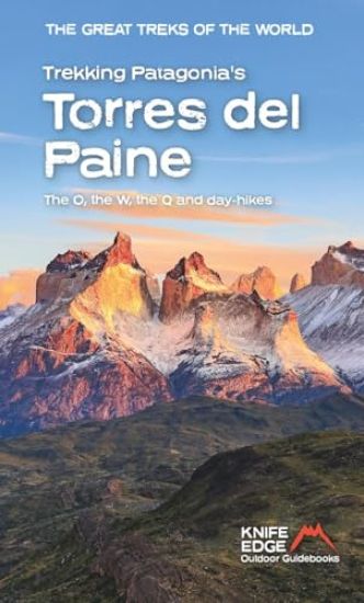
Trekking Patagonia's Torres del Paine

Trekking Patagonia's Torres del Paine

Andrew McCluggage

Knife Edge Outdoor Limited
2026
nidottu
The definitive guidebook for Torres del Paine National Park. Covers all the treks including the O, the W, the Q and day-hikes. Full information for both campers and those staying in huts: everything you need to plan and hike in Torres del Paine so there is no need to spend hours trawling the internet for scraps. Also includes: - Bespoke 1:40,000 mapping: all accommodation, facilities and transport are shown clearly on the map. Perfect for planning and navigation. No other book has this. - Unique Itinerary Planner: plan a bespoke itinerary to match your ability and vacation schedule. All difficult calculations of time, distance and altitude gain are done for you. - 18 different multi-day itineraries of between 3 and 10 days. - Full accommodation/campsite listings. - Travel to the trail-heads. - Equipment and travelling light. - Everything the trekker needs to know to plan the route: route descriptions, costs, budget, difficulty, weather, how to get there, and more. - Information for both self-guided and guided trekkers. - Info on the November 2025 O-trek tragedy. The peaks of Torres del Paine National Park are some of the most distinctive in the world. The park is named after the spectacular Torres del Paine: three imposing granite pillars, overlooking a surreal turquoise lake, which are the favourites of so many trekkers that their status is practically mythical. However, the famous Cuernos del Paine are even more beautiful: so strikingly unusual that they could almost be the setting of a children?s fantasy story, their otherworldly appearance is hauntingly beautiful and utterly unforgettable, especially at sunrise and sunset. There are legions of other beautiful mountains too: they are steep-sided, jagged, swathed in vast blankets of the whitest snow, adorned with enormous sparkling glaciers and unattainably high. This wonderful mountain range is best experienced on one of the park's incredible treks: the O, the W and the Q.
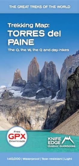
Torres del Paine: Trekking Map: the O, the W, the Q and day-hikes

Torres del Paine: Trekking Map: the O, the W, the Q and day-hikes

Andrew McCluggage

Knife Edge Outdoor Limited
2026
kartta, viikattu
The only sheet map for Torres del Paine that shows all accommodation, food and transport options. The O, W and Q treks are set out in full. Also, shows day-hikes. Perfect for planning and navigation. 1:40,000 - larger scale and more detail than other sheet maps. Made specifically for Torres del Paine by Knife Edge Outdoor Guidebooks: * Facilities marked on map: accommodation, food, transport * Full elevation profiles * Distance, time and elevation gain/loss provided for each stage * English/French/German map key * 1:40,000 * Includes free GPX downloads for the trail * GPS compatible * Tougher than traditional maps: try to tear me! * More water-resistant than traditional maps * Lighter than traditional maps The peaks of Torres del Paine National Park are some of the most distinctive in the world. The park is named after the spectacular Torres del Paine: three imposing granite pillars, overlooking a surreal turquoise lake, which are the favourites of so many trekkers that their status is practically mythical. However, the famous Cuernos del Paine are even more beautiful: so strikingly unusual that they could almost be the setting of a children's fantasy story, their otherworldly appearance is hauntingly beautiful and utterly unforgettable, especially at sunrise and sunset. There are legions of other beautiful mountains too: they are steep-sided, jagged, swathed in vast blankets of the whitest snow, adorned with enormous sparkling glaciers and unattainably high. This wonderful mountain range is best experienced on one of the park's incredible treks: the O, the W and the Q.
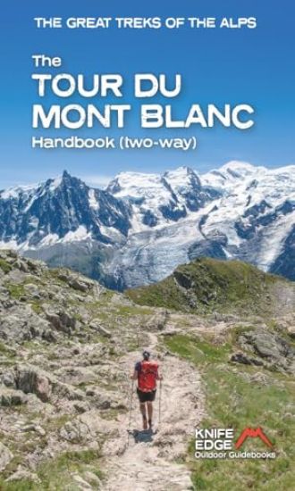
The Tour du Mont Blanc Handbook

The Tour du Mont Blanc Handbook

Andrew McCluggage

Knife Edge Outdoor Limited
2026
nidottu
The second edition of the definitive guidebook for the Tour du Mont Blanc: now covers the trek in both directions (anti-clockwise and clockwise). Fully rewritten from scratch to provide complete information for both campers and those staying in huts: now includes absolutely everything needed to plan and hike the TMB so there is no need to spend hours trawling the internet for scraps of information. Includes the main route and a host of new variants (many of which are not found elsewhere). Also includes: - Bespoke mapping: all accommodation, facilities and transport are shown clearly on the map. Perfect for planning and navigation. No other book has this. - Unique Itinerary Planner (both anti-clockwise and clockwise): plan a bespoke itinerary to match your ability and vacation schedule. All difficult calculations of time, distance and altitude gain are done for you. - 14 different itineraries of between 5 and 12 days. - 17 exciting variants: includes new alternatives which are not available in other books. - Orientation charts: showing exactly which peaks are visible from each significant viewpoint. - Full accommodation listings: spectacularly situated mountain huts, villages and hamlets. - Complete list of camping locations and wild camping rules are explained in detail. - Travel to the trail-heads. - Equipment and travelling light. - Everything the trekker needs to know to plan the route: route descriptions, costs, budget, difficulty, weather, how to get there, and more. - Information for both self-guided and guided trekkers. The Tour du Mont Blanc is the world?s most famous trek. It starts near Chamonix in the French Alps. It is an epic journey around the mighty Mont Blanc, the highest peak in the Alps: - 174km - 7-12 days - 9700m of altitude gain - 14 mountain passes - 3 countries, France, Italy and Switzerland Unspoilt and remote high mountain terrain: snow frosted summits, beautiful valleys and pastures, sparkling azure lakes, carpets of wild flowers, the soothing sound of cow bells and easy to follow paths. This trek should be on your hiking bucket list.
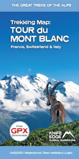
Tour du Mont Blanc - Trekking Map

Tour du Mont Blanc - Trekking Map

Andrew McCluggage

Knife Edge Outdoor Limited
2025
kartta, viikattu

Halvin toimitettuna 27,80 €

The only sheet map for the Tour du Mont Blanc that shows all accommodation, food and transport options. The entire trek and variants on a single sheet: perfect for planning and navigation.1:40,000 - larger scale and more detail than other single sheet maps. Made specifically for the TMB by Knife Edge Outdoor Guidebooks:- Facilities marked on map: accommodation, food, transport- English/French/German map key- 1:40,000- Numerous variants- Includes free GPX downloads for the trail- GPS compatible- Tougher than traditional maps: try to tear me! - More water-resistant than traditional maps - Lighter than traditional mapsThe epic Tour du Mont Blanc traverses the mountains of France, Italy and Switzerland as it circumnavigates the mighty Mont Blanc (the highest peak in the Alps). Unspoilt and remote mountain terrain: snow-frosted summits, beautiful valleys and pastures, sparkling azure lakes, carpets of wild-flowers, the soothing sound of cow bells and easy to follow paths. This trek should be on your hiking bucket list.
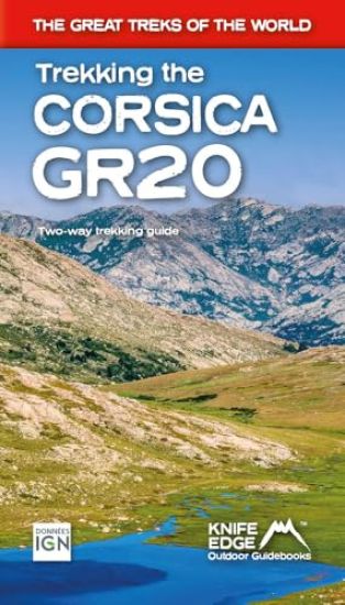
Trekking the Corsica GR20

Trekking the Corsica GR20

Andrew McCluggage

Knife Edge Outdoor Limited
2024
nidottu

Halvin toimitettuna 27,70 €

- The only two-way guidebook to the GR20: both northbound and southbound routes are described in full.- Real IGN Maps included (1:25,000): no need to carry separate maps.- 15 different itineraries: schedules of 9, 10, 11, 12, 13, 14, 15 and 16 days. Includes both northbound and southbound itineraries. Difficult calculations of time, distance and altitude gain are done for you. Also includes:- Detailed information on equipment and travelling light- Detailed information on getting to/from all trail-heads- Everything the trekker needs to know: route, costs, difficulty, weather, travel, and more- Full accommodation listings: spectacularly situated mountain huts and campsites- Information for both self-guided and guided trekkers- Numbered waypoints linking the Real Maps to our clear descriptions- Information on Wildlife and Plants
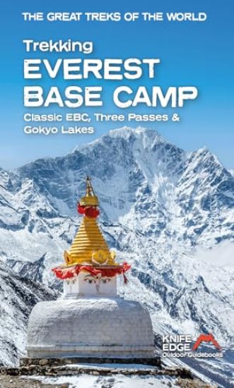
Trekking Everest Base Camp

Trekking Everest Base Camp

Andrew McCluggage; Stuart Butler

Knife Edge Outdoor Limited
2024
nidottu
The definitive guidebook for trekking in the Everest Region: essential reading for both guided and self-guided trekkers. This book really knocks the ball out of the park. It fully describes the Classic Everest Base Camp Trek, 3-Passes Trek, Gokyo Lakes & 7 other incredible treks. It contains all the information you need to plan and execute your trek including: · How to organise a trek in the Everest region: booking a guided trip, independent trekking (which is still permitted around Everest), guides & porters. · Detailed advice on choice of trek: 29 different itineraries. · Altitude acclimatisation: how to avoid altitude sickness (AMS). · Travel to the trail-heads: air travel & hiking into the Everest region. · What equipment you need to bring. · What to expect on the trail: accommodation, food & daily routine. The book is also packed full of information that you will not find in any other guide: · Orientation charts show exactly which peaks are visible from each significant viewpoint: it a trip of a lifetime so we want you to know exactly what you will see from each viewpoint. · 1:40,000 scale mapping: the most detailed mapping available for the Everest region: all villages and accommodation locations are marked on the maps. · Detailed sections on Buddhist monuments and Sherpa culture. · Detailed information on Yetis.
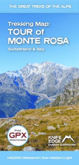
Tour of Monte Rosa Trekking Map

Tour of Monte Rosa Trekking Map

Andrew McCluggage

Knife Edge Outdoor Limited
2024
kartta

Halvin toimitettuna 26,70 €

The best sheet map for the Tour des Combins. Displays the entire route and variants on a single sheet: perfect for planning and navigation.1:40,000 - larger scale and more detail than any other map. Made specifically for the Tour des Combins by Knife Edge Outdoor Guidebooks:- English/French/German map key- 1:40,000- Numerous variants- Includes free GPX downloads for the trail- GPS compatible- Tougher than traditional maps: try to tear it! - More water-resistant than traditional maps - Lighter than traditional maps- Huts/accommodation marked on the mapThe Tour des Combins is an epic trek in the Swiss and Italian Alps. It traverses some of Europe's wildest mountain terrain. The sublime scenery makes it a worthy alternative to the more famous Tour du Mont Blanc (which is only a stone's throw away). Hike along the edge of the Corbassiere Glacier, one of the longest in Europe. Enjoy snow frosted summits, magnificent valleys and pastures, sparkling azure lakes, carpets of wild flowers, the soothing sound of cow bells and easy to follow paths. Stay in spectacularly situated villages and remote mountain huts. This will be a trip that you will never forget.
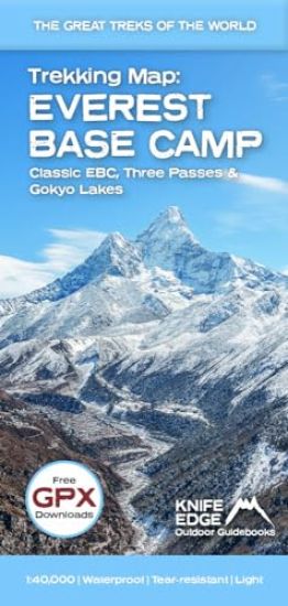
Everest Base Camp Trekking Map

Everest Base Camp Trekking Map

Andrew McCluggage

Knife Edge Outdoor Limited
2024
kartta

Halvin toimitettuna 26,70 €

The best sheet map for the Everest treks: Classic EBC, Three Passes & Gokyo Lakes (all clearly colour coded).1:40,000 - larger scale and more detail than any other Everest map. Perfect for planning and navigation. Includes walk-in route to Lukla. Made specifically for the Everest treks by Knife Edge Outdoor Guidebooks:- English/French/German map key- 1:40,000- Numerous variants, side-routes & day-hikes- Includes free GPX downloads for the trail- GPS compatible- Tougher than traditional maps: try to tear me!- More water-resistant than traditional maps- Lighter than traditional maps- Huts/accommodation marked on the map
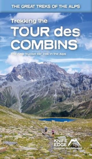
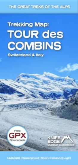
Trekking Map: Tour des Combins

Trekking Map: Tour des Combins

Andrew McCluggage

Knife Edge Outdoor Limited
2024
kartta
The best sheet map for the Tour des Combins. Displays the entire route and variants on a single sheet: perfect for planning and navigation.1:40,000 - larger scale and more detail than any other map. Made specifically for the Tour des Combins by Knife Edge Outdoor Guidebooks:- English/French/German map key- 1:40,000- Numerous variants- Includes free GPX downloads for the trail- GPS compatible- Tougher than traditional maps: try to tear it! - More water-resistant than traditional maps - Lighter than traditional maps- Huts/accommodation marked on the mapThe Tour des Combins is an epic trek in the Swiss and Italian Alps. It traverses some of Europe's wildest mountain terrain. The sublime scenery makes it a worthy alternative to the more famous Tour du Mont Blanc (which is only a stone's throw away). Hike along the edge of the Corbassiere Glacier, one of the longest in Europe. Enjoy snow frosted summits, magnificent valleys and pastures, sparkling azure lakes, carpets of wild flowers, the soothing sound of cow bells and easy to follow paths. Stay in spectacularly situated villages and remote mountain huts. This will be a trip that you will never forget.
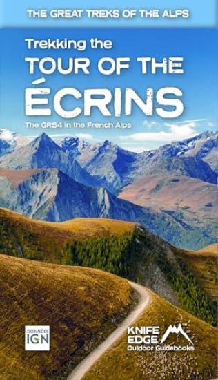
Tour of the Ecrins National Park (GR54): real IGN maps 1:25,000

Tour of the Ecrins National Park (GR54): real IGN maps 1:25,000

Andrew McCluggage

Knife Edge Outdoor Limited
2024
nidottu

Halvin toimitettuna 28,70 €

The only English language guidebook for the GR54 has been completely rewritten and fully updated for 2024. Real 1:25,000 Maps: IGN mapping included for each stage. This makes navigation easy and saves you money: no need to buy additional maps. Also includes: * Unique Itinerary Planner: plan a bespoke itinerary to match your ability and vacation schedule. All difficult calculations of time, distance and altitude gain are done for you * 4 Proposed Itineraries of between 9 and 12 days * Detailed information on equipment and travelling light * Everything the trekker needs to know to plan the route: route descriptions, costs, budget, difficulty, weather, how to get there, and more * Full accommodation listings: spectacularly situated mountain huts, villages, hamlets and campsites * Essential travel information * Information for both self-guided and guided trekkers * Numbered waypoints linking the Real Maps to our clear descriptions The GR54: Tour of the Ecrins National Park is arguably the finest trek in the Alps. It is an epic journey around the unforgettable Ecrins which has the highest mountains in the French Alps outside of the Mont Blanc Massif. This is one of France's 'crown jewels' and yet is hardly known to the English-speaking world. * 193km * 9-12 days * 12,000m of altitude gain * 14 mountain passes Unspoilt and remote high mountain terrain: snow frosted summits, beautiful valleys and pastures, sparkling azure lakes, carpets of wild flowers, the soothing sound of cow bells and easy to follow paths. This trek should be on your hiking bucket list.
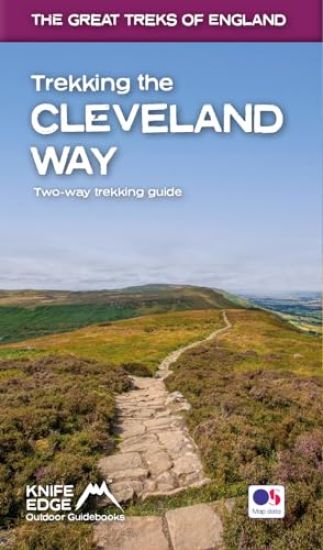
Trekking the Cleveland Way: Two-way guidebook with OS 1:25k maps: 20 different itineraries
The definitive two-way guide to the Cleveland Way, one of England's epic National Trails: both eastbound and westbound routes are described in full. Real Maps: Full Ordnance Survey mapping inside (1:25,000). All accommodation is numbered and marked on the maps. 20 different itineraries: schedules of 5, 6, 7, 8, 9, 10 and 11 days for hikers and runners. Includes both eastbound and westbound itineraries. Difficult calculations of time, distance and altitude gain/loss are done for you. Also includes: - Detailed information on equipment and travelling light - Full accommodation listings: the best pubs, B&Bs and hotels - Detailed section on camping, including wild camping - Everything the trekker needs to know: route, costs, difficulty, weather, travel, and more - Essential info for both self-guided and guided trekkers - Information on plants and wildlife - Numbered waypoints linking the Real Maps to our clear descriptions Yorkshire's Cleveland Way is one of the most beautiful long-distance walking routes in Britain. It is one of England's official 'National Trails'. The route circumnavigates the spectacular North York Moors National Park. It explores both the evocative expanses of Yorkshire's famous heather moorland and the never-ending cliffs of its coastline. This is England at its best and it will be an adventure that you will never forget.
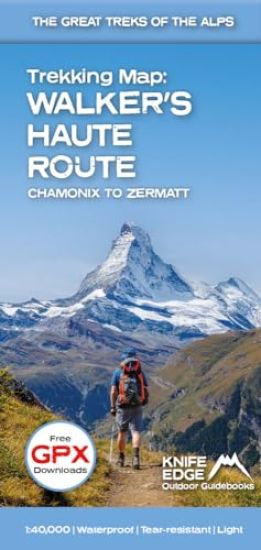
Walker's Haute Route: Chamonix to Zermatt

Walker's Haute Route: Chamonix to Zermatt

Andrew McCluggage

Knife Edge Outdoor Limited
2023
kartta, viikattu

Halvin toimitettuna 29,00 €

The best sheet map for the Walker's Haute Route: Chamonix to Zermatt. This is the only map available that displays the entire route and numerous variants on a single sheet: perfect for planning and navigation. 1:40,000 - larger scale and more detail than any other map. 1:10,000: for select areas where navigation is challenging. Made specifically for the Walker's Haute Route by Knife Edge Outdoor Guidebooks: - 1:40,000/1:10,000 - Numerous variants - Includes free GPX downloads for the trail - GPS compatible - Tougher than traditional maps: try to tear me! - More water-resistant than traditional maps - Lighter than traditional maps - Huts/accommodation marked on the map The Walker's Haute Route is an incredible trek between the two most famous mountain towns in the Alps. Travelling from Chamonix in France to Zermatt in Switzerland, you will start at Mont Blanc and finish at the Matterhorn. On the way, pass the largest collection of snowy 4000m summits in the Alps: Mont Blanc, Grand Combin, the Weisshorn, the Zinalrothorn, the Dom, the Taschhorn, the Breithorn and the Matterhorn, to name a few. The sister trek to the Tour du Mont Blanc crosses unspoilt and remote mountain terrain: amazing glaciers, snow frosted summits, beautiful valleys and pastures, shimmering lakes, carpets of wild flowers and the soothing sound of cow bells. This trek should be on your hiking bucket list. - 206km - 10-14 days - 14,000m of altitude gain - 12 mountain passes - 2 countries: France and Switzerland
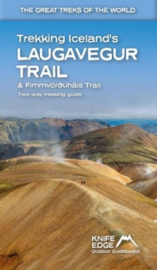
Trekking Iceland's Laugavegur Trail & Fimmvorouhals Trail

Trekking Iceland's Laugavegur Trail & Fimmvorouhals Trail

Andrew McCluggage

Knife Edge Outdoor Limited
2023
nidottu

Halvin toimitettuna 27,70 €

14 different itineraries: schedules of 2, 3, 4, 5, 6 and 7 days for hikers and runners. Includes both southbound and northbound itineraries. Difficult calculations of time, distance and altitude gain/loss are done for you. Also includes: - Detailed information on equipment and travelling light - Full accommodation/campsite listings - Everything the trekker needs to know: route, costs, difficulty, weather and more - Travel to the trail-head - Essential info for both self-guided and guided trekkers - Information on the volcanic sights along the route - Information on plants and wildlife - History of Iceland - Numbered waypoints linking the Real Maps to our clear descriptions The Laugavegur Trail is one of the world's most beautiful and aspirational treks. It leads you into the heart of Iceland?s unique ice-capped, volcanic terrain. Experience spectacular and unusual landscapes, the likes of which you will not find anywhere else on the planet. Impressive volcanic peaks are a constant companion and steam gushes from the ground. This is Iceland at its best and it will be an adventure that you will never forget.
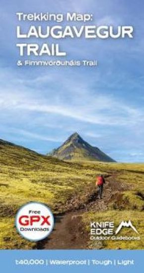
Trekking Map: Iceland's Laugavegur Trail (& Fimmvorduhals Trail)

Trekking Map: Iceland's Laugavegur Trail (& Fimmvorduhals Trail)

Andrew McCluggage

Knife Edge Outdoor Limited
2023
kartta, viikattu

Halvin toimitettuna 29,00 €

Waterproof sheet map for Iceland's Laugavegur Trail (& Fimmvorduhals Trail): 1:40,000. Includes free GPX downloads for the trails. The definitive map to Iceland's two best trails: larger scale and more detail than any other map. Made specifically for the treks by Knife Edge Outdoor Guidebooks. - Waterproof - Free GPX downloads - Tough - Lightweight - All huts/campsites are marked - Information on distances, times and altitude gain/loss between huts/campsites - Hot springs and fumaroles are marked - Unfolded 486 x 696mm. The Laugavegur Trail is one of the world's most beautiful and aspirational treks. It leads you into the heart of Iceland's unique ice-capped, volcanic terrain. Experience spectacular and unusual landscapes, the likes of which you will not find anywhere else on the planet. Impressive volcanic peaks are a constant companion and steam gushes from the ground. This is Iceland at its best and it will be an adventure that you will never forget.
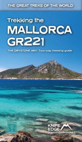
Trekking the Mallorca GR221

Trekking the Mallorca GR221

Andrew McCluggage

Knife Edge Outdoor Limited
2023
nidottu
The definitive two-way guide to the Mallorca GR221 (the Drystone Way): both northbound and southbound routes are described in full. Real Maps: Full mapping inside (1:25,000) by Editorial Alpina. All accommodation is numbered and marked on the maps. 12 different itineraries: schedules of 7, 8, 9, 10 and 11 days for hikers and runners. Includes both northbound and southbound itineraries. Difficult calculations of time, distance and altitude gain/loss are done for you. Also includes: - Detailed information on equipment and travelling light - Full accommodation listings: the best hotels and refugis - Everything the trekker needs to know: route, costs, difficulty, weather, travel, and more - Public Transport map and information - Essential info for both self-guided and guided trekkers - Information on the drystone structures along the route - Information on plants and wildlife - History of drystone structures along the route - Numbered waypoints linking the Real Maps to our clear descriptions The GR221 is one of Europe's most beautiful and aspirational treks in Europe. It travels the length of Mallorca's rugged mountain range, the Serra de Tramuntana. Along the way, you find a textbook Mediterranean landscape of azure waters, sandy beaches, rocky coves, all overlooked by rugged limestone peaks. As you pass the numerous drystone structures on the trail, you will learn plenty of the island's fascinating history and you will spend the night in some of its finest villages. This is Spain at its best and it will be an adventure that you will never forget.
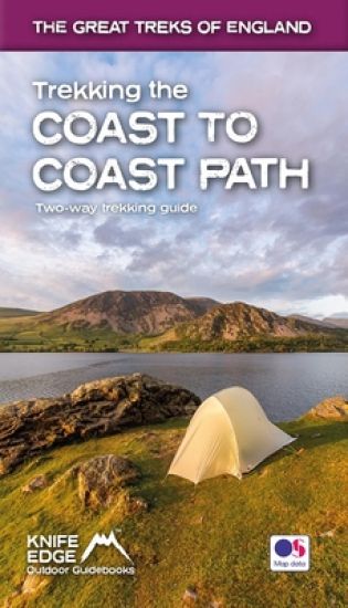
Trekking the Coast to Coast Path

Trekking the Coast to Coast Path

Andrew McCluggage

Knife Edge Outdoor Limited
2022
nidottu
The definitive two-way guide to the Coast to Coast Path: both eastbound and westbound routes are described in full. Real Maps: Full Ordnance Survey mapping inside (1:25,000). All accommodation is numbered and marked on the maps. 19 different itineraries: schedules of 11, 12, 13, 14, 15, 16, 17, 18 and 19 days for hikers and runners. Includes both eastbound and westbound itineraries. Difficult calculations of time, distance and altitude gain/loss are done for you. Also includes: * Detailed information on equipment and travelling light * Full accommodation listings: the best pubs, B&Bs and hotels * Detailed section on camping, including wild camping * Everything the trekker needs to know: route, costs, difficulty, weather, travel, and more * Essential info for both self-guided and guided trekkers * Information on plants and wildlife * Numbered waypoints linking the Real Maps to our clear descriptions The Coast to Coast Path is the most popular and aspirational long-distance walking route in Britain. It was designed by Alfred Wainwright, the famous author of guidebooks to the Lake District. It travels across England from the Irish Sea to the North Sea. On the way, it traverses three stunning National Parks, each with its own unique scenery and character: the Lake District, the Yorkshire Dales and the North York Moors. This is England at its best and it will be an adventure that you will never forget.
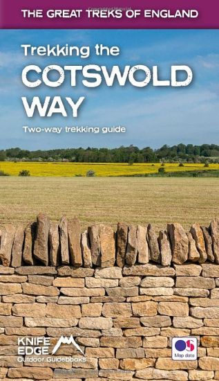
Trekking the Cotswold Way

Trekking the Cotswold Way

Andrew McCluggage

Knife Edge Outdoor Limited
2022
nidottu
The definitive two-way guide to the Cotswold Way: both southbound and northbound routes are described in full. Real Maps: Full Ordnance Survey mapping inside (1:25,000). All accommodation is numbered and marked on the maps 18 different itineraries: schedules of 4, 5, 6, 7, 8, 9, 10, 11 and 12 days for hikers and runners. Includes both southbound and northbound itineraries. Difficult calculations of time, distance and altitude gain/loss are done for you. Also includes: * Detailed information on equipment and travelling light * Everything the trekker needs to know: route, costs, difficulty, weather, travel, and more * Full accommodation listings: the best inns, B&Bs and hotels * Detailed section on camping * What to see in the City of Bath * Essential info for both self-guided and guided trekkers * Information on history, plants and wildlife * Numbered waypoints linking the Real Maps to our clear descriptions The Cotswold Way travels 102 miles through the sublime scenery of the Cotswolds, a region which is the epitome of historic England. Along the way, you will travel the crest of the Cotswold Escarpment through exquisite rolling countryside and historic chocolate-box villages, built from lovely honey-coloured stone, which have remained unchanged for centuries. The trekker negotiates this wonderful terrain on a meticulously waymarked series of paths and tracks, far removed from the region's large urban centres. Occasionally, you will pass through a small village or hamlet (with little more than a local pub and a few places to stay) but otherwise, the experience is one of tranquillity. This is England at its best and it will be an adventure that you will never forget.