Kirjojen hintavertailu – 12 859 828 kirjaa ja 27 kauppaa

Kirjailija

Andrew Mudd

Kirjat ja teokset yhdessä paikassa: 10 kirjaa, julkaisuja vuosilta 2007–2025, suosituimpiin kuuluu Living and working in a medieval and later Bristol suburb. Vertaile teosten hintoja ja tarkista saatavuus suomalaisista kirjakaupoista.

10 kirjaa

Kirjojen julkaisuvuodet: 2007–2025.

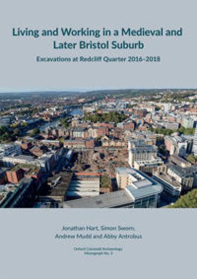
Living and working in a medieval and later Bristol suburb

Living and working in a medieval and later Bristol suburb

Jonathan Hart; Simon Sworn; Andrew Mudd; Abby Antrobus

Cotswold Archaeology
2025
sidottu
Excavations were undertaken ahead of redevelopment at Redcliff Quarter in Bristol between 2016 and 2018, enabling the investigation of medieval and later properties along Redcliff Street and St Thomas Street. A sequence of archaeological remains survived from the early 12th century to the modern period, providing detailed information, complemented by documentary research, about the lives, diets and trades of the suburb’s inhabitants. The results indicate that some belonged to Bristol’s prosperous mercantile class, while others were probably labourers or worked in trades such as butchery, dyeing and bell-founding. During the Georgian period, the character of both streets changed, as St Thomas Street became primarily residential and Redcliff Street was occupied by industrial concerns. The excavations detailed in this volume provide fascinating and often unexpected insights into the lives of those who lived and worked in the Redcliffe suburb of Bristol between the early 12th and early 20th centuries. This report presents the finds and environmental evidence recovered from the excavations.
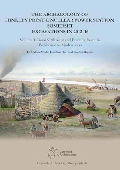
The Archaeology of Hinkley Point C Nuclear Power Station, Somerset. Excavations in 2012-16

The Archaeology of Hinkley Point C Nuclear Power Station, Somerset. Excavations in 2012-16

Andrew Mudd; Jonathan Hart; Stephen Rippon

Cotswold Archaeology
2024
sidottu
Early Neolithic occupation (from about 3600 BC) was represented by small groups of pits which were partly contemporary with a well-known round barrow – a protected monument called Wick Barrow or Pixies’ Mound – lying just outside the development site. Later prehistoric remains included Bronze Age burnt mounds, boundary ditches, a Late Bronze Age enclosure, and an Early Iron Age midden. There was more widespread Late Iron Age and Roman settlement, including a seasonally occupied linear settlement with evidence of salt-making. Contemporary activity included a nearby late Roman settlement. On another site a sequence of occupation from the late Iron Age to modern eras was examined. Here historical documents add to the account of the site and preserved the names of some of the farm’s recent inhabitants.
The Archaeology of Hinkley Point C Nuclear Power Station, Somerset. Excavations in 2012-16

The Archaeology of Hinkley Point C Nuclear Power Station, Somerset. Excavations in 2012-16

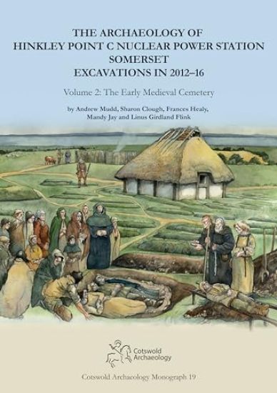
Andrew Mudd; Sharon Clough; Frances Healy; Mandy Jay; Linus Girdland Flink

Cotswold Archaeology
2024
sidottu
The cemetery was excavated in its entirety and contained the remains of around 300 individuals. Its form is shown to have many characteristics in common with other cemeteries of this period in the western British Isles, including the extended, supine posture of the deceased in simple earth-cut graves largely aligned in a west/east orientation. There were a limited number and range of grave accompaniments. Peculiarities included a concentration of intercutting burials within a small central rectangle, with the later re-use of this space for the deposition of fragments of carved stone, followed by the construction here of a wooden building. The deposition of seashells with a number of the burials appears to be a rite so far unique to this community. The stratigraphic sequence allied to radiocarbon dates on 51 individuals has enabled an unusually refined chronology, showing that the cemetery was used from the early 5th to the later 7th centuries. Measurements of the isotopes of strontium, oxygen, carbon, nitrogen and sulphur in various combinations from a selection of individuals provides insights into aspects of origin, movement and diet. Mitochondrial DNA has provided information on the maternal lineage of 44 individuals, some of whom were buried in the same grave as others of the same lineage. Material remains were sparse but provide insights into the burial practices at this time.
The Prehistoric Archaeology of the A477 St Clears to Red Roses Road Improvement Scheme 2012

The Prehistoric Archaeology of the A477 St Clears to Red Roses Road Improvement Scheme 2012

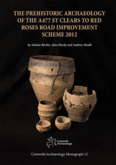
Alistair Barber; Alan Hardy; Andrew Mudd

Cotswold Archaeological Trust Ltd
2019
sidottu
Details results of excavations along the A477 from St Clears to Red Roses during the Road Improvement Scheme, 2012. Finds include a Mesolithic site in the lower Tâf valley; early Neolithic pits and a post-built structure at Cildywyll; the remains of an Early Bronze Age barrow, 38 burials (some urned), a pyre site, and a Middle Bronze Age drying oven near St Clears; and A Bronze Age burnt mound near Red Roses.
Cannington Bypass, Somerset: Excavations in 2014

Cannington Bypass, Somerset: Excavations in 2014

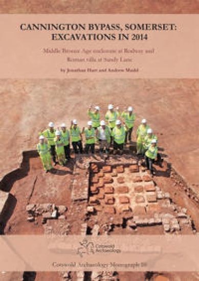
Jonathan Hart; Andrew Mudd

Cotswold Archaeological Trust Ltd
2018
sidottu
Two enclosures were recorded – near Rodway was discovered a small Middle Bronze Age farmstead containing evidence of two roundhouses, with associated pottery and plant remains; and at Sandy Lane a Roman villa was shown to have developed from a Late Iron Age ridge-top settlement.
Living Near the Edge

Living Near the Edge

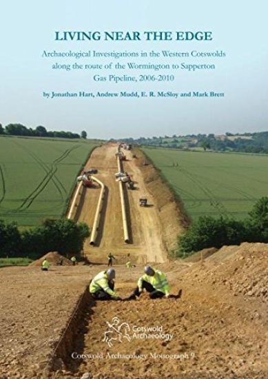
Andrew Mudd; E.R. McSloy; Mark Brett; Jonathan Hart

Cotswold Archaeological Trust Ltd
2016
sidottu
Archaeological surveys and excavations were carried out between 2006 and 2010 in advance of the construction of a gas pipeline in the Gloucestershire Cotswolds. They resulted in the discovery of many new sites and the investigation of eighteen of them dating from the prehistoric to medieval periods. Early Neolithic and Beaker/Early Bronze Age pits in the southern part of the route near Winstone, suggest transitory occupation in early prehistoric times. Early Bronze Age cremation graves on lower ground near Stanway were associated with two slightly later ring-ditches, and another Bronze Age ring-ditch was excavated at Foxcote Hill. A segmented boundary ditch near Winstone was also the location of Iron Age and Roman activity. An Iron Age settlement on Salter’s Hill, Winchcombe, included an Early Iron Age roundhouse, while Middle Iron Age grain-storage pits here and elsewhere indicated other farming settlements. Late Iron Age and Roman occupations in the high Wolds showed a range of remains, including unusual deposits of artefacts, animal bones and burials. A fragmentary sequence of Anglo-Saxon boundary burials was found at the southern end of the route near Sapperton. In the same area, two 12th- to 13th-century buildings near Overley Wood may have been part of the medieval settlement of Pinbury. Trackways revealed near Coberley, Foxcote and Hailes linked rural settlements in historical times. The range of sites and finds from these investigations provide important new information on the human past across parts of a landscape in many respects considered to be marginal.
The Archaeology of the South-West Reinforcement Gas Pipeline, Devon

The Archaeology of the South-West Reinforcement Gas Pipeline, Devon

Andrew Mudd; Stuart Joyce

Cotswold Archaeological Trust Ltd
2014
sidottu
Archaeological work ahead of pipeline construction in East and South Devon led to the excavation of over thirty sites spanning the earlier Neolithic to early modern times. Early features included a wide scatter of pits dating to the Neolithic and Beaker periods (c. 3700–2000 BC), and a variety of Middle Bronze Age features that included evidence for land division in the Otter valley and South Devon. Iron Age activity was relatively uncommon but included iron smelting near Dartington in South Devon and piecemeal settlement more widely. Later remains included evidence for a hillslope enclosure close to the River Dart and an open settlement engaging in pewter manufacture close to the River Avon, which were both Roman in date. There was also a medieval sunken outbuilding near Powderham containing charred cereals (believed to be a first for Devon), as well as a cob linhay relating to the mapped 19th-century rural landscape near Exton. Although none of the sites were particularly rich in artefacts, more than fifty radiocarbon dates have added considerably to our understanding of the changes in human activity, land use and environment over the past 5,000 years across these parts of Devon.
Iron Age and Middle Saxon settlements at West Fen Road, Ely, Cambridgeshire
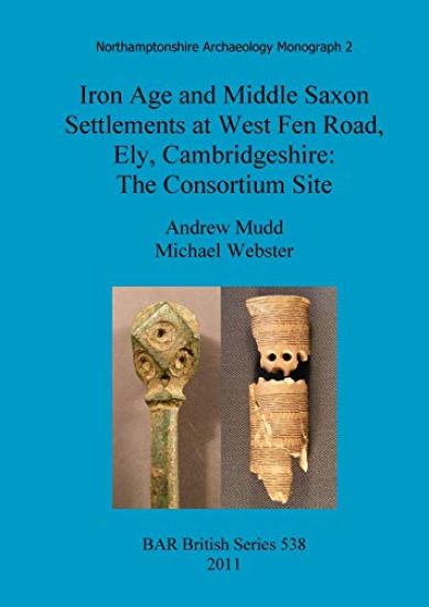
The Iron Age and Middle Saxon sites are described and discussed in detail. Both sites consisted mainly of ditched enclosures with sparser numbers of pits and other features. They yielded significant artefactual assemblages and palaeo-environmental and economic material, including some waterlogged and mineralised plant remains for the Middle Saxon period. Comparisons between the periods show a greater emphasis on sheep rearing in the Middle Saxon period than in the Iron Age, and a more varied diet for the inhabitants, including fish and hedgerow fruits. Both periods of occupation are in many respects typical of broader trends. The Iron Age enclosures formed part of an extensive permanent occupation of the Isle of Ely from 400-300 BC, with reorganisation in the 1st century AD. The beginning of Middle Saxon settlement around AD 700 and its contraction around AD 850 can be attributed to the wider fortunes of the monastic centre on the island.
Bronze Age field system at Tower's Fen, Thorney, Peterborough
Archaeological excavation of about 11ha of land at Towers Fen, Thorney, Peterborough (England), investigated part of an extensive pattern of ditched enclosures and fields associated with several waterholes and two ponds. One large pit, which may have been a waterhole, yielded Early Bronze Age pottery and is radiocarbon dated to the terminal 3rd millennium BC. Two other dates from the ponds came out at around 1500-1300 BC. The other features were probably also Middle to Late Bronze Age although the limited quantity of pottery was not datable precisely. Waterlogged material recovered from the deeper features included most of an unusual wooden tub or bucket, as well as other pieces of worked wood. The palaeo-environmental evidence from pollen, plant macro-fossils, insects and charred plant remains indicated that the land supported a mosaic of woodland, scrub, arable fields, meadow and short grazed grassland. A wide variety of trees was present, particularly wet-loving species such as willow and alder, and there was abundant evidence for coppicing. Nearby excavations at Pode Hole, and the wider picture provided by plotted cropmarks, indicate that the site formed part of an extensive prehistoric landscape. It is suggested that the Bronze Age agricultural landscape developed piecemeal and was based upon a mixed arable and pastoral economy. This contrasts with Fengate and other landscapes of this period where large-scale land divisions have been related to intensive livestock management. The sparse evidence for contemporaneous settlement is typical of many sites of this period.
Bronze Age, Roman and later occupation at Chieveley, West Berkshire
This excavation report details work carried out as a result of the A34/M4 Junction improvement. The finds were somewhat fragmentary but showed activity in the Mid to Late Bronze Age, then a gap followed by renewed activity in the Late Iron Age and Roman periods, with only a scattering of later, Saxon, finds. Finds included worked and burnt flint, pottery and some Roman metal finds such as coins and spoons.