
Kirjojen hintavertailu – 12 903 725 kirjaa ja 27 kauppaa

Kirjailija

April Watson

Kirjat ja teokset yhdessä paikassa: 2 kirjaa, julkaisuja vuosilta 2018–2025, suosituimpiin kuuluu College Geometry. Vertaile teosten hintoja ja tarkista saatavuus suomalaisista kirjakaupoista.

2 kirjaa

Kirjojen julkaisuvuodet: 2018–2025.

College Geometry

College Geometry

April Watson

NY RESEARCH PRESS
2025
sidottu
Geometry is a distinct branch of mathematics that delves into inquiries surrounding relative object positioning, spatial attributes, size, and shape. Key geometric concepts comprise axioms, points, angles, planes, and curves. Geometry encompasses various subdivisions including algebraic geometry, topology, Euclidean geometry, differential geometry, and non-Euclidean geometry. Its applications extend beyond mathematics to fields such as physics, art, and architecture. Furthermore, it establishes connections between geometric curves and algebraic equations, thus employing algebraic techniques in geometric problem-solving. This book unfolds the innovative aspects of geometry, which will be crucial for the holistic understanding of the subject matter. This book discusses the fundamentals as well as modern approaches to the study of geometry. Those with an interest in geometry would find this book helpful.
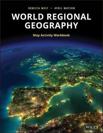
World Regional Geography Workbook

World Regional Geography Workbook

Rebecca West; April Watson

John Wiley Sons Inc
2018
pokkari
This workbook contains basemaps of the major realms, including: North America, Middle America, South America, Europe, Russia/Central Asia, North Africa/Southwest Asia, Subsaharan Africa, South Asia, East Asia, Southeast Asia, the Austral Realm, and the Pacific Realm. The workbook contains activities intended for use with the blank basemaps, along with assessment questions for each realm. The activities and questions will teach students to: interpret maps/be able to explain what each map shows. identify the most critical parts of any map. understand the static nature of maps. understand the difference between spatial and non-spatial data. form a much better understanding of the scale involved when maps are used. improve spatial reasoning/thinking skills. make inferences and draw conclusions about countries and regions based on information presented within maps.