Kirjojen hintavertailu – 12 859 829 kirjaa ja 27 kauppaa

Kirjailija

Christine Howard-Davis

Kirjat ja teokset yhdessä paikassa: 4 kirjaa, julkaisuja vuosilta 2018–2022, suosituimpiin kuuluu Roman and Medieval Carlisle: the Northen Lanes, Excavations 1978-82. Vertaile teosten hintoja ja tarkista saatavuus suomalaisista kirjakaupoista.

Nimi esiintyy myös muodoissa: Christine Howard Davis

4 kirjaa

Kirjojen julkaisuvuodet: 2018–2022.

Roman and Medieval Carlisle

Roman and Medieval Carlisle

John Zant; Christine Howard-Davis

Oxford Archaeology North
2022
nidottu
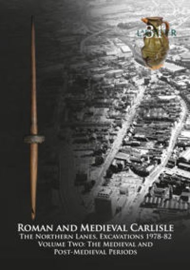
Carlisle City Council redeveloped the Lanes from the mid-1970s, a densely built-up area in the north-east corner of the city’s historic core, crossed by 19 narrow ‘vennels’. These, together with most of the adjacent buildings, were swept away by the construction of the Lanes shopping centre. Previous archaeological work had confirmed complex Roman and medieval deposits on the site, most of which would be destroyed by the development, and many of the buildings were of historical and architectural interest. A programme of archaeological and historical investigation, including building recording, was therefore undertaken, principally funded by Carlisle City Council, the Department of the Environment (now Historic England), and the Manpower Services Commission, completed between 1978 and 1982. Historic England also funded the post-excavation analysis and this publication. The Lanes remains one of the largest and most significant archaeological projects ever undertaken in northern England. The project was split into the northern and southern Lanes, the results of the latter being published in 2000, though it only included a summary of the standing-building survey. This volume, the companion to the 2019 publication of the Roman remains at the northern site, presents the evidence for post-Roman activity. The site appears to have been abandoned by the fifth century, layers of ‘dark earth’ accumulating over the latest Roman levels. Several decades after Carlisle was re-established by William II, narrow burgage plots were created, extending from Scotch Street to the recently constructed city wall. These were intensively occupied from then on and yielded a wealth of evidence for the everyday lives of the inhabitants. Around the mid-thirteenth century, the lanes themselves were created between these plots, probably to improve access, and this distinctive pattern of land-use persisted until the modern redevelopment.
The Early Medieval Monastic Site at Dacre, Cumbria

The Early Medieval Monastic Site at Dacre, Cumbria

Rachel M Newman; Christine Howard Davis; Roger H Leech

Oxford Archaeology North
2022
nidottu
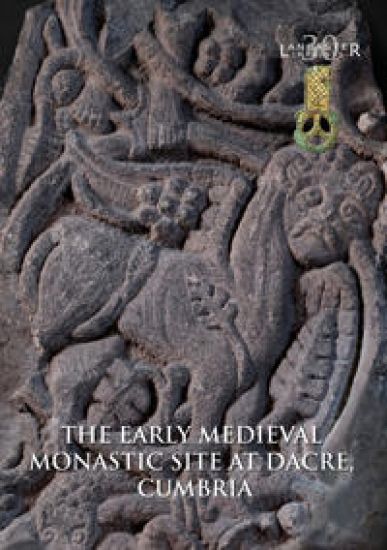
Dacre is rare in having documentary evidence for an early medieval monastery, mentioned by the Venerable Bede in 731, and in the 12th century, William of Malmesbury thought that it was where King Æthelstan of Wessex met the northern and western lords in 927. High-quality early sculptural fragments and a substantial stone drain had also been found in the 19th and early 20th centuries. Excavations were undertaken in 1982–5, to the north and south of the parish church, and to the west of the churchyard, providing important information about its origins. A substantial early medieval cemetery of more than 200 graves was found to the north, with some burials in chests with iron fittings. Two structures were excavated to the west of this, one, with a rounded eastern end, containing a hearth made from a millstone. This was associated with a substantial assemblage of fine metalwork, loomweights, and vessel and window glass, and several Northumbrian coins were also found. The drain in the southern churchyard was re-excavated, demonstrating that it was constructed of reused Roman stones, probably from a bridge or mill. An early ditched boundary was also identified, circling the south and west sides of the medieval churchyard, which seems to have followed its line. The early cemetery was later partially covered by a medieval farmstead, consisting of at least three buildings, one with a well-made fireplace. This had become derelict by the 15th/16th century, when the village either shrank or moved to the west, leaving the site very much as it is today.
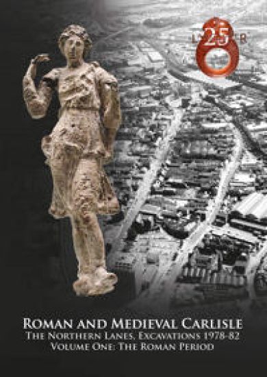
Roman and Medieval Carlisle: the Northen Lanes, Excavations 1978-82

Roman and Medieval Carlisle: the Northen Lanes, Excavations 1978-82

John M. Zant; Christine Howard-Davis

Oxford Archaeology North
2019
nidottu
In the mid-1970s, Carlisle City Council finalised proposals for the redevelopment of the Lanes, a densely built-up area in the north-east corner of the city’s historic core, which, at the time, was crossed by 19 narrow lanes or vennels. These were to be swept away, and the area cleared, for the construction of the Lanes shopping centre. Previous archaeological work had confirmed the existence of complex Roman and medieval deposits in this part of the city, most of which would be destroyed by the new development. Consequently, a programme of archaeological and historical investigation, funded by Carlisle City Council, the Department of the Environment (now Historic England), the Manpower Services Commission, the Marc Fitch Fund and the Society of Antiquaries of London, was undertaken between 1978 and 1982. Historic England also provided substantial funding for post-excavation analysis and publication of the project’s results. To this day, the Lanes retains its position as one of the largest and most significant urban archaeological projects ever undertaken in northern England. For post-excavation purposes, the project was split into two parts, the northern and southern Lanes, the results of the latter being published in 2000. The current volume presents the evidence for Roman occupation within the northern Lanes, from the construction of a probable military camp and a series of large timber buildings, possibly mansiones, in the early Roman period, to the expansion of civilian settlement across this area during the mid-late second century AD, which saw the emergence of a distinct pattern of building plots. Good preservation of waterlogged organic materials was a feature of the earlier levels, which yielded a wealth of environmental information and many artefacts of wood and leather. The post-Roman evidence from the northern Lanes will be presented in a companion volume.
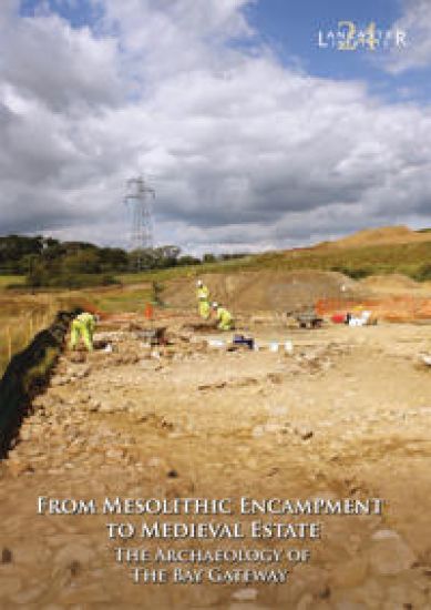
From Mesolithic Encampment to Medieval Estate

From Mesolithic Encampment to Medieval Estate

Jeremy Bradley; Christine Howard-Davis

Oxford Archaeology North
2018
nidottu
The Bay Gateway, opened in 2016, is a new road linking the M6 motorway, north of Lancaster, to the port of Heysham. Its construction has provided an important opportunity to investigate the little-studied early landscape of Lancashire’s rural lower Lune Valley. The archaeological investigation was focused on seven areas that had been defined by almost a decade of preliminary works. The earliest remains included evidence of prehistoric settlement, at a location that had seen repeated activity in the Mesolithic and Neolithic periods, and during the Bronze Age. The findings make a significant contribution to the understanding of several millennia of human activity that are otherwise poorly understood in Lancashire. The most extensive remains, dating from the twelfth to the mid-fifteenth century AD, were found on either side of the Howgill Brook. Several buildings, in both timber and stone, as well as kilns and channels, are thought to represent the remains of one or more water mills associated with Beaumont Grange, an estate belonging to Furness Abbey. This volume arises from the multi-disciplinary approach to the archaeological sites, with the emphasis placed on the integration of a wide range of data. It comprises the work of several authors from Oxford Archaeology, as well as external specialists.