Kirjojen hintavertailu – 12 859 829 kirjaa ja 27 kauppaa

Kirjailija

Daniel MacCannell

Kirjat ja teokset yhdessä paikassa: 4 kirjaa, julkaisuja vuosilta 2016–2025, suosituimpiin kuuluu Lost Banff and Buchan. Vertaile teosten hintoja ja tarkista saatavuus suomalaisista kirjakaupoista.

4 kirjaa

Kirjojen julkaisuvuodet: 2016–2025.

Lost Banff and Buchan

Lost Banff and Buchan

Daniel MacCannell

BIRLINN GENERAL
2025
nidottu
The region north of Aberdeen and east of Moray is difficult to define. Neither highland or lowland, depopulated or populous, it is a land of surprising contrasts. In this book Daniel MacCannell uncovers many aspects of lost Banff and Buchan. In addition to buildings, transport networks, industries, and ways of life which now no longer exist, from whaling to open-air market trading, he also considers other elements which have been forgotten over time. There are lost people - those whose lives have been of enormous significance but are now forgotten - such as the member of the Barclay family who became a Russian field marshal and architect of the 'scorched earth' strategy used against Napoleon in 1812, and the pilots of the Banff Strike Wing who fought valiantly against the German Navy during World War II. There is also the lost University of Fraserburgh, founded in 1595 but defunct by 1605; the village of Burnhaven, destroyed to make room for Peterhead Prison; and a lost literary master - the Turriff man who wrote Argenis, arguably the first novel ever written by a British person. The book also offers a new take on the history of smuggling in the area - of whisky from Cabrach down North Donside to Aberdeen, as well as of brandy and a surprisingly wide range of other commodities. The result is a compelling and imaginative journey into the past, packed with anecdote, fact and fascinating characters.
Lost Deeside

Lost Deeside

Daniel MacCannell

BIRLINN GENERAL
2025
nidottu
Deeside, the southern border of the Northeast shires of Aberdeen and Banff, is very much frontier country – its lonely passes through a barely penetrable mountain range were of massive strategic importance for centuries. The legions of Emperor Septimus Severus came in by Elsick Mounth in the early third century ad, and the B974 Fettercairn–Banchory road marks the way taken by Edward I’s army as it withdrew from the North-east in 1296, as well as the route Macbeth took to his doom two and a half centuries before. In this book, Daniel MacCannell looks at the rich and varied lost legacy of this haunting part of Scotland, from castles, houses, and whole villages to hospitals, illicit stills and even a number of lochs. In addition to tangible things, he also considers much else that has been ‘lost’ from the history, landscape and collective memory of the area – such as forgotten astronomers, inventors, roisterers and rebels; the local Gaelic of the area which has now died out; the wolf, which lived freely there until the 1680s; and the ways of life of past generations of Deeside people. The result is a vivid and stimulating insight into the way Deeside has changed over many hundreds of years.
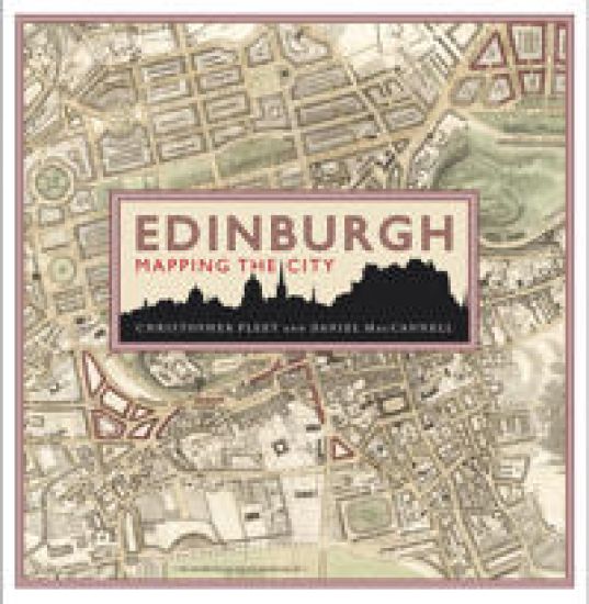
Edinburgh: Mapping the City

Edinburgh: Mapping the City

Chris Fleet; Daniel MacCannell

BIRLINN GENERAL
2023
sidottu
Maps can tell much about the story of a place that traditional histories fail to communicate. This is particularly true of Edinburgh, one of the most visually stunning cities in the world and a place rich in historical and cultural associations. This lavishly illustrated book features 71 maps of Edinburgh which have been selected for the particular stories they reveal about the political, commercial and social life of Scotland and her capital. Many are reproduced in book form for the first time. Together, they present a fascinating insight into how Edinburgh has changed and developed over the last 500 years, and will appeal to all those with an interest in Edinburgh and Scottish history, as well as anyone interested in urban history, architectural history, town planning or the history of cartography.
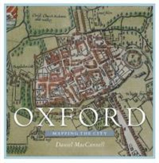
Oxford: Mapping the City

Oxford: Mapping the City

Daniel MacCannell

Birlinn Ltd
2016
sidottu
Over the past four and a half centuries, the magnificent city of Oxford has been mapped for many reasons, few of which have involved the mere finding of one’s way through the streets. Maps were produced as part of schemes to defend Oxford from rampaging Roundheads, raging floodwaters, and the ravages of cholera; to plan the new canals and bridges of the eighteenth century and the new railways, tramways and suburbs of the nineteenth; to determine and display changes in the city’s political stature under the Reform Acts of 1832 and 1867; to aid police enforcement of the laws against homosexuality; and even to plan a Soviet ground assault on the heart of the British motor industry. Given its status as a world centre of drama, poetry, literature, music, architecture, and scientific experimentation, and sometime royal capital, it is unsurprising that Oxford was the first British town to be included in map form in a tourist guidebook, as early as 1762, and one of just two inland towns mapped by French invasion planners in the Seven Years’ War. For the first time, this lavishly illustrated volume brings together sixty of the most remarkable maps and views of the area that have been made by friend and foe since 1575.