Kirjojen hintavertailu – 12 859 824 kirjaa ja 27 kauppaa

Kirjailija

Jim Manthorpe

Kirjat ja teokset yhdessä paikassa: 3 kirjaa, julkaisuja vuosilta 2023–2026, suosituimpiin kuuluu Tour du Mont Blanc Trailblazer Guide. Vertaile teosten hintoja ja tarkista saatavuus suomalaisista kirjakaupoista.

3 kirjaa

Kirjojen julkaisuvuodet: 2023–2026.

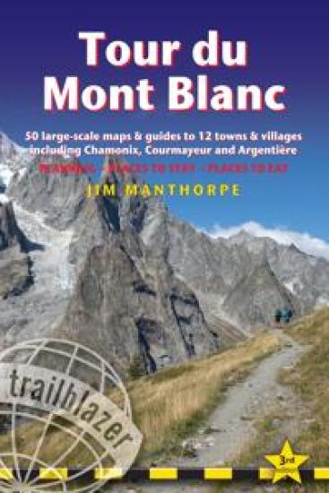
Tour du Mont Blanc Trailblazer Guide

Tour du Mont Blanc Trailblazer Guide

Jim Manthorpe

TRAILBLAZER PUBLICATIONS
2026
nidottu
All the information you need to plan your mountain trail adventure on this iconic route. At 4810m (15,781ft), Mont Blanc is western Europe’s highest mountain, and one of the most famous mountains in the world. The trail (105 miles,168km) that circumnavigates the massif, passing through France, Italy and Switzerland, is the most popular long distance walk in Europe. This rewalked and updated Trailblazer Tour du Mont Blanc guide includes: 60 maps -12 town and village plans and 50 large-scale walking maps at 1:20,000 showing route times, gradients, where to stay, interesting features Walking directions, tricky junctions, places to stay and eat, points of interest and walking times are all written onto the maps themselves in the places to which they apply. With their uncluttered clarity, these are not general-purpose maps but fully-edited maps drawn by walkers for walkers Itineraries for all walkers - whether walking the 105 mile (168km) route in its entirety, or sampling the highlights on day walks and short breaks Information for walkers doing the route in both directions - clockwise or anticlockwise Practical information for all budgets - where to stay (campsites, gites, hostels, B&Bs, lodges and hotels), where to eat, what to see Comprehensive background information - the Alps, flora and fauna, the history of mountaineering and trekking in the region and the conquest of Mont Blanc in 1786 by Bourrit and Balmat Full public transport information - for all access points Climbing Mont Blanc - practical information, guides, the route to the top, waypoints and what3words references
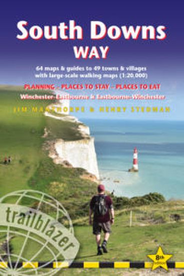
South Downs Way Trailblazer Walking Guide 8e

South Downs Way Trailblazer Walking Guide 8e

Jim Manthorpe; Henry Stedman

TRAILBLAZER PUBLICATIONS
2024
pokkari

Halvin toimitettuna 26,90 €

All the information you need to walk the South Downs Way. Trailblazer's guide to South Downs Way shows the route in both directions from Winchester to Eastbourne and from Eastbourne to Winchester. This handy, pocket size South Downs Way guide includes: 82 Maps in two-colour style - 60 large-scale walking maps - 1:20,000 (3-1/8 inches to 1 mile), 11 town plans, 10 stage maps with trail profiles showing hills and descents, and 2 overview mapsDetailed accommodation with reviews - B&Bs, campsites, pubs, hotels, bunkhousesWhere to eat with reviews - cafes, teashops, pubs, takeaways and restaurantsComprehensive public transport information - with frequency of services for all access points on the PathDownloadable GPS waypointsItineraries for all walkers - whether hiking the entire route or sampling highlights on day walks, weekends or short breaksUnique mapping features - walking times, directions, tricky junctions, places to stay, places to eat, points of interest written onto the mapsFlora and fauna - four page full colour flower guide, plus an illustrated section on local wildlifeGreen hiking - understanding the local environment and minimizing our impact on it
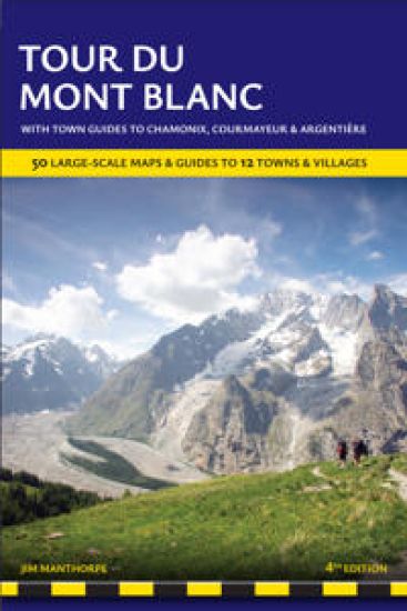
Tour du Mont Blanc Trailblazer Guide

Tour du Mont Blanc Trailblazer Guide

Jim Manthorpe

TRAILBLAZER PUBLICATIONS
2023
nidottu

Halvin toimitettuna 29,90 €

All the information you need to enjoy your mountain trail adventure At 4810m (15,781ft), Mont Blanc is the highest mountain in western Europe, and one of the most famous mountains in the world. The trail (105 miles, 168km) that circumnavigates the massif, passing through France, Italy and Switzerland, is the most popular long distance walk in Europe. The Trailblazer Tour du Mont Blanc guide Includes: 60 maps - 12 town and village plans and 50 large-scale walking maps - at 1:20,000 - showing route times, gradients, where to stay, interesting features. Walking directions, tricky junctions, places to stay and eat, points of interest and walking times are all written onto the maps themselves in the places to which they apply. With their uncluttered clarity, these are not general-purpose maps but fully-edited maps drawn by walkers for walkersItineraries for all walkers - whether walking the 105 mile (168km) route in its entirety, or sampling the highlights on day walks and short breaksPractical information for all budgets - where to stay (campsites, gites, hostels, B&Bs, lodges and hotels), where to eat, what to seeComprehensive background information - the Alps, flora and fauna, the history of mountaineering and trekking in the region and the conquest of Mont Blanc in 1786 by Bourrit and BalmatFull public transport information - for all access pointsClimbing Mont Blanc - practical information, guides, the route to the top