
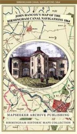
John Hancox's Map of the Birmingham Canal Navigations 1864
John Hancox; Mapseeker Publishing Ltd.
Historical Images Ltd
2013
kartta, viikattu
Detailed and fascinating survey map of the Birminghams Canal Navigations re-worked from the rare Hancox original dated 1864. The map folds out to a large 1000mm x 890mm size that is sharp and legible, detailing all the canal navigations covering South Staffs, and part of Warwickshire and Worcestershire.