
Kirjojen hintavertailu – 12 903 724 kirjaa ja 27 kauppaa

Kirjailija

Khursheed Alam

Kirjat ja teokset yhdessä paikassa: 2 kirjaa, julkaisuja vuosilta 2018–2023, suosituimpiin kuuluu Aralamallige Sub Watershed of Doddaballapur, a RS & GIS Analysis. Vertaile teosten hintoja ja tarkista saatavuus suomalaisista kirjakaupoista.

2 kirjaa

Kirjojen julkaisuvuodet: 2018–2023.

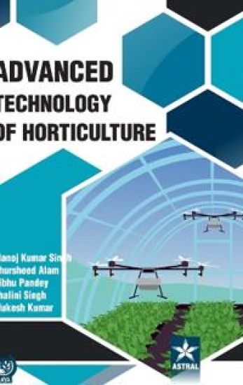
Advanced Technology of Horticulture

Advanced Technology of Horticulture

Manoj Kumar Singh; Khursheed Alam; Vibhu Pandey

Astral International Pvt Ltd
2023
sidottu
The current book, focuses on current horticultural trends, including Challenges of Sustainable Fruit Production, Fertigation Concept and Practices, Foliar Micro-Nutrition of Vegetable Crops, Genome Editing in Fruits, Grafting in Vegetable Crops, Kitchen Garden, Hydroponics, Irradiation of Fresh Fruits and Vegetables, Microgreens, Micropropagation in Horticulture, Mulching Techniques in Horticulture, Organic Vegetable Production, Precision Farming, Processing and Value Addition, Role of Rootstocks in Fruit Production, Techniques to Reduce the Postharvest, Underexploited Vegetables, Underutilized Vegetables, Use of Drip Irrigation, Use of Hydro-gel in Horticulture, Utility of Drone Technology in Horticulture and Vertical Farming in Vegetables etc. which would be of excellent service to students, researchers, teachers, progressive farmers and horticultural extension workers, and boost farmer's incomes.
Aralamallige Sub Watershed of Doddaballapur, a RS & GIS Analysis

Aralamallige Sub Watershed of Doddaballapur, a RS & GIS Analysis

Adhfur Sherwani; Khursheed Alam; Mohammad Aneesul Mehmood

LAP Lambert Academic Publishing
2018
pokkari
This book provides an insight into the application of remote sensing and geographic information system for the management of natural resources in general and water resources in particular. The growing population and unsustainable development has not only increased the demand for water, they are also threat to the available water resources. Water resources are distributed in time and space and their availability may vary from time to time and place to place. So the identification of water resources become an immediate step apart from proper management by augumentating the natural infiltration of natural precipitation into subsurface formation by some suitable methods of recharge. Remote sensing and Geographic Information System are emerging tools for managing and analyzing the spatially distributed informations. ArcInfo and ArcView GIS are the powerful softwares to analyse, visualize and create quality presentations that brings the power of interactive mapping and analysis. In the present book, an attempt has been made to provide a detailed information about the nature and morphometry of Aralamallige watershed in Dodaballapur Taluk of Bangalore rural District Karnataka.