Kirjojen hintavertailu – 12 903 725 kirjaa ja 27 kauppaa
Kirjailija
Mahendra Singh Nathawat
Kirjat ja teokset yhdessä paikassa: 10 kirjaa, julkaisuja vuosilta 2014–2026, suosituimpiin kuuluu Geografische Perspektiven zur städtischen Expansion einer historischen Stadt. Vertaile teosten hintoja ja tarkista saatavuus suomalaisista kirjakaupoista.
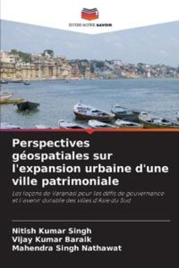
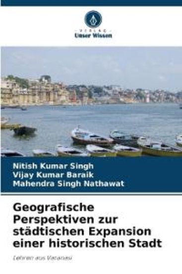
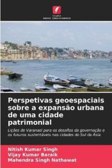
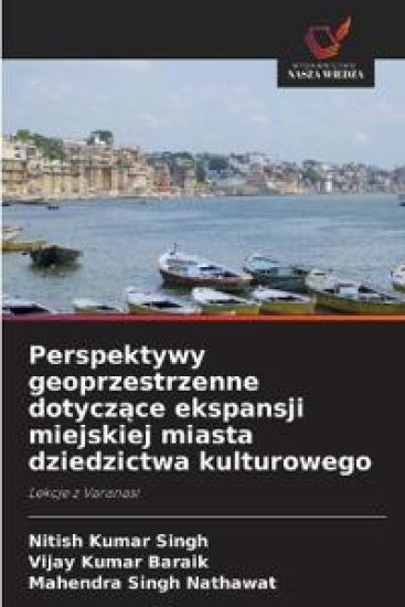
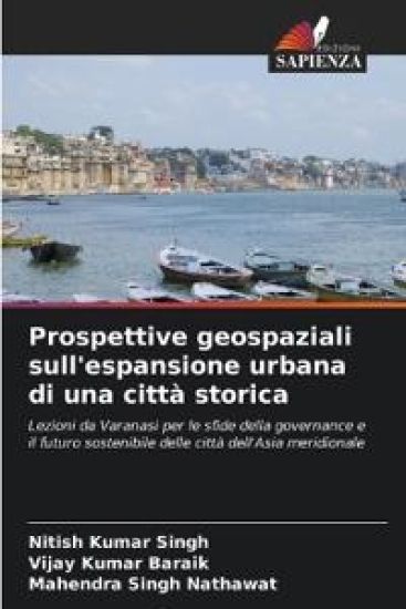
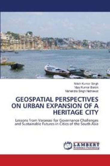
This book presents a geospatial analysis of Varanasi's urban expansion from 1972-2020. It shows that growth has been largely unplanned, with rapid, unregulated land-cover change, especially in peri-urban areas. Using GIS, remote sensing, and indices such as the Annual Urban Expansion Rate, Urban Expansion Intensity Index, and Urban Expansion Differentiation Index, it quantifies and maps growth patterns. The book links historical, cultural, and colonial influences to current urban form and reveals a gap between planning frameworks and ground realities, resulting in loss of farmland and green spaces, riverfront encroachment, and rising socio-economic and environmental risks. By assessing infill, edge, and outlying growth, it exposes spatial inequality and governance shortcomings. Positioning Varanasi as a model for South Asian cities, it stresses the need for geospatial data-driven, participatory, and heritage-sensitive planning. It concludes with scenario-based strategies and policy alignment with global sustainability goals to build resilient, equitable cities.
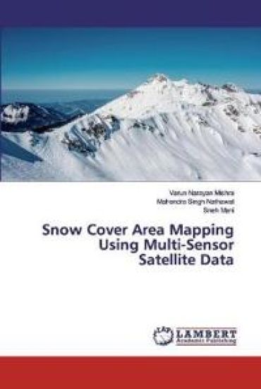
Snow cover is a vital geophysical variable that affects the climate, weather and hydrological systems from local to global scales. Snow, in hydrological viewpoint is the main source of fresh water supply for many regions of the world. The lack of areal information of snow cover is one of the most critical challenges to assess and forecast water resources in catchments having snowfall as a significant source of precipitation. Mapping and monitoring of seasonal snow cover using traditional field survey methods is usually very difficult in the Himalayan region. The emergence of space-borne remote sensing techniques, with the advantages of synoptic and repetitive coverage, has drawn a lot of attention in snow and glacier studies. Snow being a thermodynamically unstable matter, seasonal snow cover is prone to rapid changes. Assessing these changes is of critical significance for the water availability in north Indian rivers.
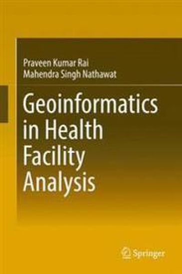
This book demonstrates how GIS techniques and statistical methods can be used to emphasise the characteristics of population and its related variables, vis-à-vis care facilities and the status of vector borne diseases, as well as for malaria modeling. Concentrating on the Varanasi district of India, the main aim of the book is to determine and map the density areas of vector borne diseases using GIS techniques. The book explores how health GIS is an important sub-discipline of health science and medical geography, which is traditionally focused on the spatial aspects of disease ecology and health care facility analysis.
This book demonstrates how GIS techniques and statistical methods can be used to emphasise the characteristics of population and its related variables, vis-à-vis care facilities and the status of vector borne diseases, as well as for malaria modeling. Concentrating on the Varanasi district of India, the main aim of the book is to determine and map the density areas of vector borne diseases using GIS techniques. The book explores how health GIS is an important sub-discipline of health science and medical geography, which is traditionally focused on the spatial aspects of disease ecology and health care facility analysis.