Kirjojen hintavertailu – 12 903 725 kirjaa ja 27 kauppaa

Kirjailija

Mark Gillings

Kirjat ja teokset yhdessä paikassa: 5 kirjaa, julkaisuja vuosilta 2002–2010, suosituimpiin kuuluu The Upper Tisza Project. Studies in Hungarian Landscape Archaeology. Book 3: Settlement Patterns in the Zemplén Block. Vertaile teosten hintoja ja tarkista saatavuus suomalaisista kirjakaupoista.

5 kirjaa

Kirjojen julkaisuvuodet: 2002–2010.

The Upper Tisza Project. Studies in Hungarian Landscape Archaeology. Book 3: Settlement Patterns in the Zemplén Block

The Upper Tisza Project. Studies in Hungarian Landscape Archaeology. Book 3: Settlement Patterns in the Zemplén Block

John Chapman; Steve Cousins; Bisserka Gaydarska; Mark Gillings; Karen Hardy; Eniko Magyari; Robert Shiel; Denise Telford; Katalin Biró; Chris Bond; David Brookshaw

BAR Publishing
2010
muu
This volume, part of the Upper Tisza Project, investigates settlement patterns in the upland Zemplen region of northeast Hungary and interactions between the region and adjacent lowland areas. In analysing the results the authors conclude that prehistoric settlement in the region was seasonal, and based on the need to gather lithic raw materials. Permanent settlement came in the medieval period, with a monastic and castle dominated landscape of nucleated villages emerging.
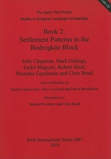
The Upper Tisza Project. Studies in Hungarian Landscape Archaeology. Book 2: Settlement Patterns in the Bodrogköz Block

The Upper Tisza Project. Studies in Hungarian Landscape Archaeology. Book 2: Settlement Patterns in the Bodrogköz Block

Chris Bond; David Brookshaw; John Chapman; Bisserka Gaydarska; Mark Gillings; Steve Leyland; Enik Magyari; Robert Shiel

BAR Publishing
2010
muu
This report, the second in the series from the Upper Tisza Project, examines the lowland zone of the Bodrogkoz Block in northeastern Hungary. After outlining the theoretical and methodological frmaework for the project, the book seeks to "define some of the principle changes in the landscape in Block 2 over the last 12,000 years, and to characterise the main trends in settlement in the Bodrogkoz area".
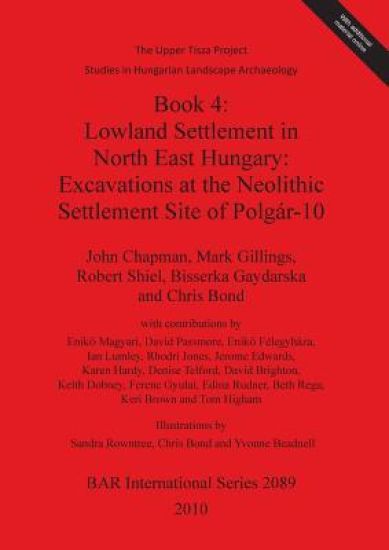
The Upper Tisza Project. Studies in Hungarian Landscape Archaeology. Book 4: Lowland Settlement in North East Hungary: Excavations at the Neolithic Settle

The Upper Tisza Project. Studies in Hungarian Landscape Archaeology. Book 4: Lowland Settlement in North East Hungary: Excavations at the Neolithic Settle

Chris Bond; David Brighton; John Chapman; Eniko Félegyháza; Bisserka Gaydarska; Mark Gillings; Robert Shiel

BAR Publishing
2010
muu
Reports on excavations which took place in the Summer of 1995 at the Middle Neolithic site of Polgar-10 in northeastern Hungary, as part of the Upper Tizsa Project. The excavations centred on the low-lying part of the site, which would have flooded periodically in the Spring during the Neolithic. The evidence for social practices at the site shows a strong bias towards deposition related to pottery discard. The site produced no evidence for pottery production, primary lithic knapping, grindstone making or plant processing, or of feasting, and it is surmised that these activities took place on the higher hillocks to the north and south of the excavated area.
Spatial Technology and Archaeology

Spatial Technology and Archaeology

David Wheatley; Mark Gillings

CRC Press
2002
sidottu
Geographical Information Systems (GIS) and related spatial technologies have a new and powerful role to play in archaeological interpretation. Beginning with a conceptual approach to the representation of space adopted by GIS, this book examines spatial databases; the acquisition and compilation of data; the analytical compilation of data; the analytical functionality of GIS; and the creation and utilization of critical foundation data layers such as the Digital Elevation Model (DEM). The ways in which GIS can most usefully facilitate archaeological analysis and interpretation are then explored particularly as a tool for the management of archaeological resources. Formal analysis of archaeological material, and the use of trend surface, contouring and interpolation procedures are considered along with predictive modeling analysis of visibility and intervisibility. Finally there is a discussion of leading-edge issues, including three-dimensional GIS, object-oriented GIS, the relationship between GIS and 'Virtual Reality' technologies, and the integration of GIS with distributed systems and the Internet. The approach is light, and technical detail is kept to a minimum, recognizing that most readers are simply interested in using GIS effectively. The text is carefully illustrated with worked case-studies using archaeological data. Spatial Technology and Archaeology provides a single reference source for archaeologists, students, professionals, and academics in archaeology as well as those in anthropology and related disciplines.
Spatial Technology and Archaeology

Spatial Technology and Archaeology

David Wheatley; Mark Gillings

CRC Press
2002
nidottu
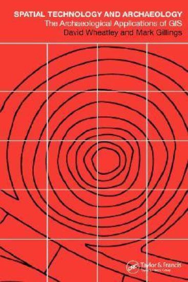
Geographical Information Systems (GIS) and related spatial technologies have a new and powerful role to play in archaeological interpretation. Beginning with a conceptual approach to the representation of space adopted by GIS, this book examines spatial databases; the acquisition and compilation of data; the analytical compilation of data; the analytical functionality of GIS; and the creation and utilization of critical foundation data layers such as the Digital Elevation Model (DEM). The ways in which GIS can most usefully facilitate archaeological analysis and interpretation are then explored particularly as a tool for the management of archaeological resources. Formal analysis of archaeological material, and the use of trend surface, contouring and interpolation procedures are considered along with predictive modeling analysis of visibility and intervisibility. Finally there is a discussion of leading-edge issues, including three-dimensional GIS, object-oriented GIS, the relationship between GIS and 'Virtual Reality' technologies, and the integration of GIS with distributed systems and the Internet. The approach is light, and technical detail is kept to a minimum, recognizing that most readers are simply interested in using GIS effectively. The text is carefully illustrated with worked case-studies using archaeological data. Spatial Technology and Archaeology provides a single reference source for archaeologists, students, professionals, and academics in archaeology as well as those in anthropology and related disciplines.