
Kirjojen hintavertailu – 12 873 905 kirjaa ja 26 kauppaa

Kirjailija

Martin Vermeer

Kirjat ja teokset yhdessä paikassa: 3 kirjaa, julkaisuja vuosilta 2014–2021, suosituimpiin kuuluu Map of the World. Vertaile teosten hintoja ja tarkista saatavuus suomalaisista kirjakaupoista.

3 kirjaa

Kirjojen julkaisuvuodet: 2014–2021.

Map of the World

Map of the World

Martin Vermeer; Antti Rasila

TAYLOR FRANCIS LTD
2021
nidottu
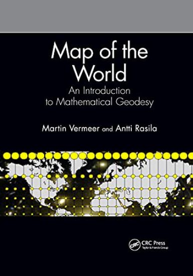
Carl Friedrich Gauss, the "foremost of mathematicians," was a land surveyor. Measuring and calculating geodetic networks on the curved Earth was the inspiration for some of his greatest mathematical discoveries. This is just one example of how mathematics and geodesy, the science and art of measuring and mapping our world, have evolved together throughout history. This text is for students and professionals in geodesy, land surveying, and geospatial science who need to understand the mathematics of describing the Earth and capturing her in maps and geospatial data: the discipline known as mathematical geodesy. Map of the World: An Introduction to Mathematical Geodesy aims to provide an accessible introduction to this area, presenting and developing the mathematics relating to maps, mapping, and the production of geospatial data. Described are the theory and its fundamental concepts, its application for processing, analyzing, transforming, and projecting geospatial data, and how these are used in producing charts and atlases. Also touched upon are the multitude of cross-overs into other sciences sharing in the adventure of discovering what our world really looks like. FEATURES• Written in a fluid and accessible style, replete with exercises; adaptable for courses on different levels.• Suitable for students and professionals in the mapping sciences, but also for lovers of maps and map making.
Map of the World

Map of the World

Martin Vermeer; Antti Rasila

CRC Press
2019
sidottu
Carl Friedrich Gauss, the "foremost of mathematicians," was a land surveyor. Measuring and calculating geodetic networks on the curved Earth was the inspiration for some of his greatest mathematical discoveries. This is just one example of how mathematics and geodesy, the science and art of measuring and mapping our world, have evolved together throughout history. This text is for students and professionals in geodesy, land surveying, and geospatial science who need to understand the mathematics of describing the Earth and capturing her in maps and geospatial data: the discipline known as mathematical geodesy. Map of the World: An Introduction to Mathematical Geodesy aims to provide an accessible introduction to this area, presenting and developing the mathematics relating to maps, mapping, and the production of geospatial data. Described are the theory and its fundamental concepts, its application for processing, analyzing, transforming, and projecting geospatial data, and how these are used in producing charts and atlases. Also touched upon are the multitude of cross-overs into other sciences sharing in the adventure of discovering what our world really looks like. FEATURES• Written in a fluid and accessible style, replete with exercises; adaptable for courses on different levels.• Suitable for students and professionals in the mapping sciences, but also for lovers of maps and map making.
Maailman kartta

Maailman kartta

Martin Vermeer; Antti Rasila

Tähtitieteellinen yhdistys Ursa
2014
nidottu

Halvin toimitettuna 31,90 €

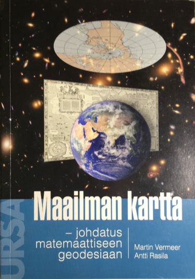
Lähes kaikki ihmisen toimet vaativat liikkumista paikasta toiseen ja elinympäristön tuntemista. Kartta on tällaisen keskeisen tiedon tallentamisen ja välittämisen väline. Teknologinen kehitys on tuonut perinteisten graafisten karttojen rinnalle satelliittipaikannustekniikan ja mobiiliteknologian. Ne ovat jo lähes välttämättömiä apuvälineitä kartta-aineistojen käytössä. Tämä kirja esittää keskeisimmät karttoihin, kartoitukseen ja paikkatiedon laadintaan liittyvät matemaattiset perusteet. Kartat ovat keskeisiä elementtejä paikantamispalveluissa, navigoinnissa, yritystoiminnassa ja visualisoinnissa. Karttoihin perustuvat järjestelmät ylläpitävät yhteiskunnan häiriötöntä toimintaa, sillä tieto niin valtioiden kuin tonttimaankin rajoista on tarpeen tallentaa tarkasti ja luotettavasti. Paikkatietoa tarvitaan myös esimerkiksi sääennusteita varten. Karttojen laatiminen on myös osa ihmisen pyrkimystä ymmärtää paikkaamme maailmankaikkeudessa. Maapallon kartoitus on kulkenut käsi kädessä tieteen kehityksen kanssa kautta historian ja liittyy moniin luonnontieteiden peruskysymyksiin.