

Kirjailija
Paul Wolf
Kirjat ja teokset yhdessä paikassa: 9 kirjaa, julkaisuja vuosilta 2014–2026, suosituimpiin kuuluu Das ultimative Klobuch für Traktor-Fans. Vertaile teosten hintoja ja tarkista saatavuus suomalaisista kirjakaupoista.
9 kirjaa
Kirjojen julkaisuvuodet: 2014–2026.


Angels, Daemons and Beings Between Volume 1 - Patrons and Spells for DCC
Daniel J. Bishop; Paul Wolf; David Fisher
Goodman Games
2024
sidottu
New patrons and more for your DCC RPG campaign! Patrons. More than mere supernatural benefactors, they are the schemers whose plots set worlds into motion. They are beings who amuse, enthrall, and terrify the mortals who dare to bargain with them! You, dear reader, will find 24 new and fully developed patrons and Demi-patrons for the Dungeon Crawl Classics Role-Playing Game. Included are 66 new spells, more monstrous minions, and new spellburn and patron taint tables to use in your DCC campaign.

Mathematik-Vorkurs
Paul Wolf; Sophie Kersting; Stefan Friedenberg
Hanser Fachbuchverlag
2024
sidottu

Ingenieurmathematik
Paul Wolf; Sophie Kersting; Stefan Friedenberg
Hanser Fachbuchverlag
2023
nidottu
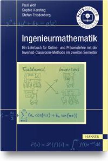
Ingenieurmathematik
Paul Wolf; Sophie Kersting; Stefan Friedenberg
Hanser Fachbuchverlag
2021
sidottu
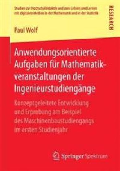
Anwendungsorientierte Aufgaben für Mathematikveranstaltungen der Ingenieurstudiengänge
Paul Wolf
Springer Spektrum
2017
nidottu
Paul Wolf entwickelt und erprobt einen neuen Typ von Anwendungsaufgaben für die Service-Veranstaltungen der Mathematik mit Fokus auf die Verbindung von Mathematik und dem eigentlichen Studienfach. Motiviert wurde die Arbeit durch die relativ hohe Abbruchquote in den Ingenieurs-Bachelor-Studiengängen, die unter anderem auf die Komplexität und Relevanz der Mathematikausbildung während des Studiums zurückzuführen ist. Trotz des speziellen Bezugs zum Maschinenbau lässt sich das Konzept auch auf andere Studiengänge (z. B. Elektrotechnik) übertragen. Der Autor evaluiert sein Konzept durch eine vollständige empirische Vergleichsstudie in mehreren Jahrgängen. ?
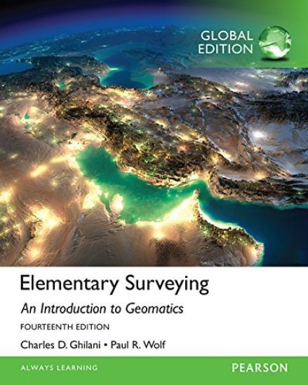
Elementary Surveying, Global Edition
Charles Ghilani; Paul Wolf
Pearson Education Limited
2015
nidottu
For Surveying courses offered in Civil Engineering departments This highly readable, best-selling text presents basic concepts and practical material in each of the areas fundamental to modern surveying (geomatics) practice. Its depth and breadth are ideal for self-study. Elementary Surveying, 14th Edition, is updated throughout to reflect the latest advances and technology. Teaching and Learning Experience This program will provide a better teaching and learning experience—for you and your students. It will help: Emphasise the Theory of Errors in Surveying Work: Common errors and mistakes are listed to remind students to exercise caution in their work. Use Strong Pedagogy Tools to Teach: Numerous worked example problems, figures, illustrations, and end-of-chapter problems help students apply concepts. Reflect the Latest Advances in Technology: To keep your course current and relevant, this edition covers the latest advancements in surveying technology.
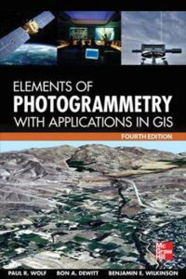
Elements of Photogrammetry with Application in GIS, Fourth Edition
Paul Wolf; Bon DeWitt; Benjamin Wilkinson
McGraw-Hill Professional
2014
sidottu
Publisher's Note: Products purchased from Third Party sellers are not guaranteed by the publisher for quality, authenticity, or access to any online entitlements included with the product. The definitive guide to photogrammetry--fully updatedThoroughly revised to cover the latest technological advances in the field, Elements of Photogrammetry with Applications in GIS, Fourth Edition, provides complete details on the foundational principles of photogrammetry as well as important advanced concepts. Significant changes in the instruments and procedures used in modern photogrammetry, including laser scanning, are discussed. Example problems clarify computational procedures and extensive photographs and diagrams illustrate the material presented in this comprehensive resource. Coverage includes:Principles of photography and imagingCameras and other imaging devicesImage measurements and refinementsObject space coordinate systemsVertical photographsStereoscopic viewingStereoscopic parallaxStereoscopic plotting instrumentsLaser scanning systemsElementary methods of planimetric mapping for GISTitled and oblique photographsIntroduction to analytical photogrammetryTopographic mapping and spatial data collectionFundamental principles of digital image processingPhotogrammetric applications in GISControl for aerial photogrammetryAerotriangulationProject planningTerrestrial and close-range photogrammetry