

Kirjailija
Richard Gregory
Kirjat ja teokset yhdessä paikassa: 22 kirjaa, julkaisuja vuosilta 1998–2026, suosituimpiin kuuluu Cutacre. Vertaile teosten hintoja ja tarkista saatavuus suomalaisista kirjakaupoista.
22 kirjaa
Kirjojen julkaisuvuodet: 1998–2026.
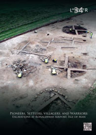
Pioneers, Settlers, Villagers, and Warriors: Excavations at Ronaldsway Airport, Isle of Man
Richard Gregory; Fraser Brown
Archaeopress Publishing Ltd
2026
sidottu
Excavations at Ronaldsway Airport uncovered the Isle of Man's earliest known house (c. 9000Â BC), Neolithic and Bronze Age timber structures, a later Bronze Age village with metalworking, an Iron Age settlement and two burials-including a violently killed 'warrior'-plus later agricultural remains, illuminating long-term occupation in the region.



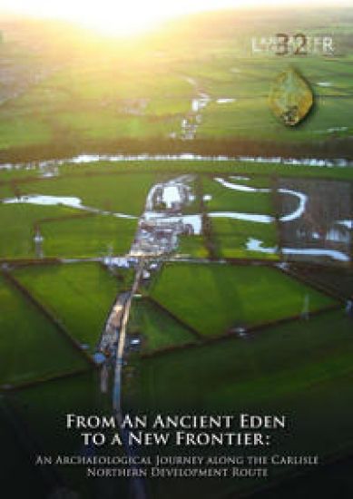
From an Ancient Eden to a New Frontier
Fraser Brown; Paul Clark; Anthony Dickson; Richard Gregory; John Zant
Oxford Archaeology North
2024
nidottu
The Carlisle Northern Development Route (CNDR) is a major road around the western side of Carlisle. Prior to its construction, there was an extensive programme of archaeological excavation, carried out along its route by Oxford Archaeology, between May 2008 and April 2011. The excavations recorded archaeological and palaeoenvironmental remains at several sites (termed ‘parcels’) along this route, including highly significant remains dating to the Mesolithic and Neolithic periods at Stainton West (Parcel 27 North), a site situated on the floodplain north of the River Eden. These related to a Mesolithic seasonal, aggregation encampment, dating between c. 6000 cal BC and c. 4300 cal BC. This was on an island between two palaeochannels and was associated with domestic features and an in-situ flaked-lithic assemblage of over 300,000 pieces, dominated by a narrow-blade lithic technology. Waterlogged deposits of organic sediment and the remains of a beaver lodge and dam in the main palaeochannel defining the western edge of the island, also contained a wealth of palaeoenvironmental evidence relevant to the earlier part of the period in which the encampment was occupied. Neolithic activity began in c. 3800-3700 cal BC comprising the construction of a wooden platform in the main palaeochannel, which was associated with the intentional deposition of tree-felling debris, coarse-stone tools, flaked lithics, pottery, and wooden artefacts, including a paddle and two ‘tridents’. Palaeoenvironmental remains relating to this activity were also recovered, providing evidence for an elm decline, and herding and small-scale arable farming. Later Neolithic activity was also evident in the form of two burnt mounds, established during the first half of the third millennium cal BC. The investigations also revealed evidence for Chalcolithic and Bronze Age activity, which included a sequence of burnt mounds at Stainton West, used until approximately 1600 cal BC. Several other sites along the scheme provided evidence for settlement and agriculture, dating between the twenty-third and the ninth centuries cal BC, which included structures, roundhouses, boundary ditches, ceramics, and plant remains. During the construction works, a transect across the Hadrian’s Wall Roman frontier was also examined at Knockupworth. This identified the initial, Hadrianic, phase of Turf Wall, the subsequent slighting of both this and the Vallum earthworks to the south, and the Stone Wall constructed, around AD 158-60, when the Hadrianic frontier was reoccupied following abandonment of the Antonine Wall. Important evidence for early medieval activity was also revealed. Five apparently near-contemporary rectangular posthole buildings dated to the early eighth to mid-tenth centuries AD, and probably formed a small agricultural settlement. Other remains along the route related to the agricultural landscape that existed in the later medieval and post-medieval periods.
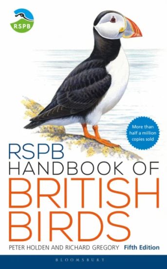
RSPB Handbook of British Birds
Peter Holden; Richard Gregory
Bloomsbury Wildlife
2021
nidottu
Halvin toimitettuna 26,90 €
The bestselling RSPB Handbook of British Birds is the most comprehensive reference for birdwatchers of all levels of interest and experience. Now in its fifth edition, it remains the most accessible field guide to more than 300 bird species likely to be encountered in Britain and Ireland. Alongside artworks depicting all common plumages, the detailed text describes each bird's behaviour, habitat, voice, breeding biology, longevity and seasonal movements, as well as other useful information. The guide also includes UK population trends and up-to-date distribution maps. Completely revised and updated, this fifth edition also features new artwork and comparison spreads, additional rarities and the most recent taxonomic order, as well as each species' conservation status, a summary of the threats UK species are currently facing and details of what conservationists are doing to help. A new lay-flat binding has also been used, creating easier access to the species accounts at home or in the field.
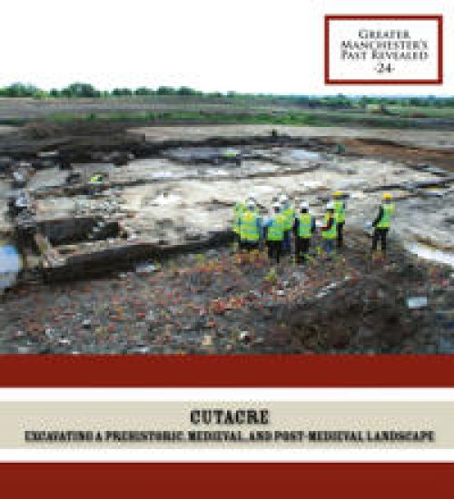
Archaeological discoveries at Cutacre were plentiful and include early prehistoric artefacts, a Middle Bronze Age settlement, medieval iron smelting, an early seventeenth-century great hall, as well as a farmstead of the same period. One of the remarkable aspects of the archaeological investigations has been the successful application of a variety of modern scientific techniques to maximise our understanding of the excavated evidence.

Yeoman Farmers and Handloom Weavers: The Archaeology of the Kingsway Business Park
Richard Gregory
Oxford Archaeology
2019
Nidottu
Kingsway Business Park lies to the south-east of Rochdale and was previously a rural landscape, which was largely settled and deceloped from the sixteenth century onwards. This booklet presents the results of a series of archaeological building surveys and excavations that were carried out within the business park, prior to its construction, which provide an insight into the history of this landscape, together with the types of post-medieval houses that existed across a wide part of the Lancashire Pennines.

Textile Mills of Lancashire: The Legacy
Andy Phelps; Chris Wild; Ian Miller; Richard Gregory
Oxford Archaeology
2018
Nidottu
Lancashire’s historic textile industry holds a particular place in Britain’s history. Its success was a direct result of the Industrial Revolution, which resulted in the region blossoming into a leading economic force between the late eighteenth and early twentieth centuries. This was, important, essential to Britain’s place and dominance as the world’s first industrial nation. During this period, Lancashire’s textile industry was at the forefront of innovation, adopting both steal power and the factory-based system of production, which in turn greatly shaped the historic character of the region, and left an enduring legacy. Whilst this legacy is still deeply ingrained in Lancashire’s consciousness, its most graphic reflection lies in the textile mills, which were established across the historic county, man of which were directly responsible for the formation of the distinctive urban landscapes associated with the region’s mill towns. However, since the demise of the textile industry in the second half of the twentieth century, the loss of historic mills, through demolition, decay and fire, has been a cause of increasing concern amongst those who recognise their heritage value, and their importance in providing and enduring sense of place for the residents of the mill towns. This threat has been felt perhaps most keenly in Lancashire, a county in which history and identity were bound closely to the development of the industry, and this danger has prompted a recognition of the need for urgent action. This publication represents the culmination of a decade of research on the textile mills of Lancashire by Oxford Archaeology North, born out of two phases of survey funded by Historic England designed to assess the survival of, and threats to, modern Lancashire’s historic textile mills. It highlights the historic growth of the region’s textile industry, and also the architectural form and evolution of Lancashire’s textile mills and ancillary industries, such as bleaching, dyeing, and printing. Importantly, it also aims to show that such buildings can be readily adapted to modern use as viable spaces, which, significantly, allows each settlement actively to retain its ‘sense of place’.

High Life in the Uplands: The Duddon Dig Project
Bob Bell; Eleanor Kingston; Ken Day; Richard Gregory; Stephe Cove
Oxford Archaeology
2018
Nidottu
Duddon forms an important area historically in the south-west part of the Lake District National Park. The western side of the valley is dominated by Harter Fell, while the east is overlooked by the Troutal and Seathwaite fells, with the Coniston range beyond. Rugged outcrops and ravines in the north give way to flat, arable field systems in the south. The valley head contains the junction of the Hardknott and Wrynose Passes, from where the River Duddon carves its way for about 18km in a south-westerly direction until it reaches the estuary into the Irish Sea. An ambitious survey project examined 84km 2 of the Duddon and Lickle Valleys and was completed in 2006-8, during which time 60 volunteers were trained in archaeological survey methods. Much of this survey entailed basic reconnaissance, mapping, and description, and, in all, over 3000 previously unrecorded sites were documented. Moreover, there was a huge range of different sites, from Neolithic standing stones and Bronze Age ring cairns to nineteenth-century shepherds'' huts.

Woodford: The Archaeology of a Landscape and Aerodrome
Richard Gregory
Oxford Archaeology
2018
Nidottu
The site of the Woodford Aerodrome straddles the borders of Greater Manchester and Cheshire East, and is best known through its association with the Manchester aircraft manufacturer, Avro, which established the sirfield in 1924. This booklet prsents the results of a series of archaeological investigations carried out within and around the former aerodrome prior to its recent redevelopment, which allow the history or the site to be considered both before and following the arrival of Avro.

Architecture, Burial and Reform: The Upper Brook Street Unitarian Chapel, Manchester
Dawn Keen; Richard Gregory
Oxford Archaeology
2018
Nidottu
The Upper Brook Street Unitarian Chapel was building in 1837-9, to the designs of two of the nineteenth-century''s most esteemed architects, Sir Charles Barry and AWN Pugin. The former chapel stands to the rear of the University Manchester and has now been conserved and converted into residential apartments. As part of this process, the chapel and its graveyard were subjected to detailed architectural and archaeological investigation. This booklet presents the results of this work and also charts the growth and importance of Manchester''s nineteenth-century Unitarian congregation, who formed a significant political and social force that helped to shape the world''s first industrial city.
Proceedings of a General Court Martial, Held at Orcq, by Order of the Commander in Chief, May 15, 1793, on the Conduct of Captain Richard Gregory,
Richard Gregory
Gale Ecco, Print Editions
2018
sidottu
The 18th century was a wealth of knowledge, exploration and rapidly growing technology and expanding record-keeping made possible by advances in the printing press. In its determination to preserve the century of revolution, Gale initiated a revolution of its own: digitization of epic proportions to preserve these invaluable works in the largest archive of its kind. Now for the first time these high-quality digital copies of original 18th century manuscripts are available in print, making them highly accessible to libraries, undergraduate students, and independent scholars. This collection reveals the history of English common law and Empire law in a vastly changing world of British expansion. Dominating the legal field is the Commentaries of the Law of England by Sir William Blackstone, which first appeared in 1765. Reference works such as almanacs and catalogues continue to educate us by revealing the day-to-day workings of society.++++The below data was compiled from various identification fields in the bibliographic record of this title. This data is provided as an additional tool in helping to insure edition identification: ++++British LibraryT115395 London, 1793]. 2],36p.; 8

Greengate: The Archaeology of Salford''s Historic Core
Ian Miller; Richard Gregory
Oxford Archaeology
2015
Nidottu
Salford has been an important settlement since the medieval period, with its historic core arranged around the three principal streets of Greengate, Chapel Street and Gravel Lane. It emerged as a key industrial town during the late eighteenth and nineteenth centuries, characterised by its numerous textile mills and finishing works, notable engineering works, and vast areas of workers'' houses. Since the late 1980s, Salford''s early remains and those relating to its industrial heritage have been rediscovered through archaeological excavation. This booklet presents the results of these excavations, particularly that on Greengate, carried out by Oxford Archaeology North. This excavation, together with those in surrounding areas, has provided significant insights into the rich and complex history of this important medieval, post-medieval, and industrial-era settlement.

Uncovering the Estate: The Archaeology of Dunham Massey
Richard Gregory; Ian Miller
Oxford Archaeology North
2013
Nidottu
The Dunham Massey Estate forms a significant National Trust property, straddling the borders of Cheshire East and Greater Manchester. From the medieval period onwards, the estate passed through a succession of influential families, including the de Mascys, the Booths, and latterly the Greys, who shaped the history of Dunham and the wider region. At the centre of the estate lies the large stately home of Dunham Hall. This was built in the early eighteenth century by Sir George Booth, the second Earl of Warrington, and was modified and restored in the early twentieth century by William Grey, the ninth Earl of Stamford. The hall is surrounded by an extensive medieval deer park, which was replanted and redesigned in the eighteenth century to form a spectacular formal landscape. This booklet presents the findings of several archaeological excavations and surveys completed within the deer park and across the wider area, which provide an insight into the rich and complex history of the Dunham Massey Estate.

The Rock Triangle, Bury: The Archaeology of an Industrial Suburb
Ian Miller; Richard Gregory
Oxford Archaeology North
2010
Nidottu
During the nineteenth century, the Rock Triangle in Bury had been a thriving industrial area with numerous textile mills, engineering works and iron foundaries, small workshops, and rows of terraced housing. These buildings had all been demolished by the end of the twentieth century, but their buried remains were excavated by Oxford Archaeology North in 2006-7, in advance of the Rock Retail and Leisure development, built between 2008 and 2010. This booklet charts the history of Bury and The Rock Triangle, and summarises the recent archaeological excavations, which have provided a record of part of Bury''s important and varie industrial past.

Piccadilly Place: Uncovering Manchester's Industrial Origins
Ian Miller; Wild Chris; Richard Gregory
Oxford Archaeology North
2010
Nidottu
Piccadilly Place (centred on NGR SJ 8461 9590) lies immediately to the north-west of Piccadilly Railway Station, close to the heart of the modern city. In many ways, it is typical of other areas found within the centre of Manchester. Prior to the Industrial Revolution it lay on the outskirts of the town, only to be subsumed during rapid urban expansion in the late eighteenth and early nineteenth centuries. However, in other ways the history of Piccadilly Place is unique, particularly as the site was to play a significant part in the emergence of the industrial city. This booklet charts that development, and also summarises the history of the city and the textile industry, which was to have a fundamental infl uence on the development of both Piccadilly Place, and other parts of Manchester.