

Kirjailija
Robert Sweet
Kirjat ja teokset yhdessä paikassa: 16 kirjaa, julkaisuja vuosilta 2003–2025, suosituimpiin kuuluu The British Flower Garden. Containing Coloured Figures and Descriptions of the Most Ornamental and Curious Hardy Flowering Plants, Including Annuals, Biennials, Perennials, and Flowering Shrubs. Vertaile teosten hintoja ja tarkista saatavuus suomalaisista kirjakaupoista.
16 kirjaa
Kirjojen julkaisuvuodet: 2003–2025.





Flora Australasica; or, A Selection of Handsome, or Curious Plants, Natives of New Holland, and the South Sea Islands; Containing Coloured Figures and Descriptions of Some of the Choicest Species Most Proper for the Conservatory or Greenhouse ... In one V
Robert Sweet
Sagwan Press
2015
sidottu

The first career of Robert Sweet (1783–1835) was as a gardener in private employment and as a nurseryman. He turned in 1826 to botanical writing, having already published Hortus suburbanus Londinensis (1818), and the first of the five-volume Geraniaceae (1820–30). The first edition of this work was published in 1826, and this revised second edition in 1830. Sweet uses Jussieu's 'natural' system of classification, but concedes that 'we still consider the addition of the Linnaean classes and orders, of great use, as they are so readily attained by the young Botanist'. He provides nine two-column closely packed pages of source works in which images of the plants cited in this unillustrated work can be found, and which also testify to the breadth of his own research in producing a reference work which is comprehensive as a record of plants then growing and flowering in British gardens.
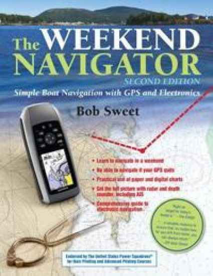
Read what the the U. S. Power Squadron and the U. S. Coast Guard trust as the definitive authority on electronic navigation, now updated with the latest electronic technologies and methods The Weekend Navigator teaches you how to navigate using today's tools and methods, including the latest technologies such as smart phones. While electronic navigation is here to stay, author Bob Sweet recognizes that they are still based on traditional charts and piloting skills, and he combines the two to pass along to you a solid understanding of all the principles of marine navigation. In addition to its continued ground-breaking instruction for the now-digital process of navigation on board power- and sailboats, Sweet helps you understand recent options for chartplotters, less expensive handheld GPS units, smart phones, and the navigation possibilities presented by phone apps. New to this edition is a section entitled "Ooops," which provides an insightful collection of boating accident tales resulting from common GPS and chartplotters no-nos. Using The Weekend Navigator, you can get on the water right away and learn to navigate in an afternoon with GPS; master chart-and-compass piloting while, not before, he or she departs; plot courses and fix positions on paper or electronic charts; and more.
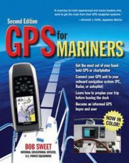
From the National Education Officer of the U. S. Power Squadrons, here is the operator's manual that should come with every boater's GPS receiver or chart plotter. About the BookGPS for Mariners was immediately well received by nautical book buyers because it took the mystery out of what was, in 2003, still a somewhat mysterious black box. Sales of the book have been strong ever since--through the U. S. Power Squadrons and the U. S. Coast Guard Auxiliary as well as through bookstores and marine stores. In the intervening six years, however, GPS has achieved almost universal acceptance. No one needs to be told in detail how the system works or why it is reliable anymore. Boaters today accept GPS as the ultimate navigation tool—they just want to know how to use it. At the same time, even the most basic GPS receivers are much more full-featured now than six years ago. It's hard to find a new GPS receiver--even a handheld unit--that doesn’t have resident charts or maps, for example. And many boaters now buy chart plotters with integral GPS--and the distinction between a GPS receiver and a full-featured chart plotter has become increasingly blurred. About the only thing that hasn't changed is that the manual that comes with a new GPS receiver or chart plotter is as confusing, fragmented, and incomplete as ever, and in all likelihood never even mentions nautical applications because GPS manufacturers cater to the larger nonboating markets. In response to these trends, the second edition of GPS for Mariners will have much less GPS tech-talk and theory--no sense preaching to the converted—and more instead on getting the most out of today’s more advanced and powerful units. And the second edition will be presented in full color to do maximum justice to the many screen shots and electronic chart shots the book will feature, thus faithfully replicating the full-color screens of most of today’s GPS receivers and chart plotters. Revamped coverage and emphasis: Boaters no longer need to be told what GPS is. They just want to know what it will do for them and how to use it. Therefore this new edition eliminates theory and adds brand-new content on the features and capabilities of new GPS receivers and chart plotters. Now in full color: Because marine GPS receivers and chart plotters have made the transition to color displays since the first edition was published, so has the book. The second edition will be printed entirely in color, the better to show the many features of GPS and chart plotters. Distinctive author qualifications: Bob Sweet is not only a successful boating book author but also the National Education Officer of the U. S. Power Squadrons, America's largest non-profit boating organization and boating educator. The manual that should have come with your GPS or chartplotter but didn't. Clear, concise advice on how to install and initialize the unit, how to use its various features, and how to interpret what it tells you. Color screen shots of the displays take the mystery out of interpretation. Learn basic and advanced functions. Use the device for advance route planning as well as en-route navigation. Become an informed GPS buyer as well as an informed GPS user. Learn the ins and outs of navigation software Interface your GPS with a PC, radar, or autopilot.
The Instant Handbook of Boat Handling, Navigation, and Seamanship
Nigel Calder; John Rousmaniere; Bill Gladstone; Robert Sweet; Peter Nielsen; Charlie Wing; Richard Clinchy
International Marine Publishing Co
2007
nidottu
Instant answers for your boat handling, navigation, and seamanship questionsThe Instant Handbook uses a dynamic new quick-reference format to cover the critical aspects of piloting, seamanship, and boat handling under sail or power more accessibly and effectively than has ever been done before. It puts at your fingertips all the information you need about:Boat Handling Under Power--Bob SweetSail Trim and Rig Tuning--Bill GladstoneUsing Nautical Charts--Bob SweetUsing GPS--Bob SweetUsing VHF and SSB Radios--Bob SweetRules of the Road and Running Light Patterns--Charlie WingKnots, Splices, and Line Handling--Charlie WingAnchoring--Peter NielsenOnboard Weather Forecasting--Bob SweetHeavy Weather Sailing--John RousmaniereDiesel Engine Care and Repair--Nigel CalderEmergencies On Board--John RousmaniereEmergency First Aid On Board--Richard Clinchy

Cistineae: The Natural Order Of Cistus; Or Rock-Rose
Robert Sweet
KESSINGER PUBLISHING, LLC
2007
nidottu

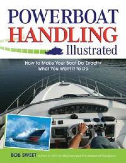
From docking to surviving storm waves,everything you need to know before you hit the waterUsing hundreds of illustrations and photos, Powerboat Handling Illustrated shows you step-by-step how to do tasks such as docking, trimming, wave handling, and close-quarters maneuvering. These maneuvers are adapted to different types of boats under various conditions.
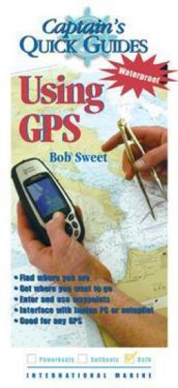
This book contains the essential information every boater needs - onboard and at your fingertips. On the water, when questions arise, there is no time to spend searching through an exhaustive manual. "The Captain's QuickGuides" provide all the answers - fast. Drawn from the world's largest boating library, each laminated "QuickGuide" presents 14 color panels of authoritative, concise information on a critical topic. This on-the-spot reference is ideal for boaters who need a convenient, accessible, and utterly streamlined information resource. Designed for onboard quick reference each "QuickGuide" includes: 14 panels of concise information yet has a folded size of just 4" x 9"; hinged, laminated construction makes them durable and waterproof; carefully organized and richly illustrated in color for instant, easy answers; and, at-your-fingertips format ideal for emergency situations. This book is just right for tight quarters, where space is an issue.

Integrating School and Workplace Learning in Canada
Hans G. Schuetze; Robert Sweet
McGill-Queen's University Press
2004
nidottu
Contributes to and extends the current debate and discussion surrounding necessary changes in education and training practices

Integrating School and Workplace Learning in Canada
Hans G. Schuetze; Robert Sweet
McGill-Queen's University Press
2003
sidottu
Contributes to and extends the current debate and discussion surrounding necessary changes in education and training practices