Kirjailija
Roger Read
Kirjat ja teokset yhdessä paikassa: 4 kirjaa, julkaisuja vuosilta 2007–2025, suosituimpiin kuuluu The Planning of Georgian Scotland. Vertaile teosten hintoja ja tarkista saatavuus suomalaisista kirjakaupoista.
4 kirjaa
Kirjojen julkaisuvuodet: 2007–2025.

Is European Governance fit for purpose? It is hoped that this book will be of interest to all those with a concern for public affairs, be they politicians, officials, advisers or citizens. - Has Subsidiarity become established as the guiding principle of Good Governance, that is, that Issues should be tackled at the level to which they apply? For example, at national, regional, metropolitan (city region) or local levels. - And is there Effective Governance, the capability to take decisions in the public interest based on well-informed and reasoned argument, at each of these levels? - And is the need for Foresight recognised, looking to the medium term of 5- 10/15 years, where strategic issues are clear but decisions have yet to be taken, and to the longer term, from 15-25/30 years, where choices remain to be made? - And is the need for a Synoptic View of the future recognised, that sees that all strategic issues are inter related and need a coherent approach to their resolution? - And is there a Strategic Planning capability, at all levels, which enables scenarios of the future to be explored, choices to be identified, decisions to be taken in the public interest and then put into effect through Good Governance and Effective Planning? Read Levelling Up, if these are issues that interest you.
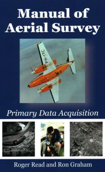
Primary data acquisition is the front end of mapping, GIS and remote sensing and involves: aviation, navigation, photography, cameras (film and digital systems), GPS systems, surveying (ground control), photogrammetry and computerized systems. This book deals with differential GPS systems, survey flight management systems (both simple and sophisticated), film types, modern film survey cameras such as LH RC-30, Z/I RMK-TOP, digital cameras, infrared methods, laser profilers, airborne laser mapping, satellite systems, laboratory processing (chemical and digital), camera platforms (fixed wing and helicopter). A fresh approach to the subject includes: soft-copy photogrammetry using desk-top computerized systems, film scanners and direct digital camera inputs. Comparisons are made between old film-based technologies and the new digital camera systems, including the Z/I modular digital mapping camera and the LH 'push-broom' ADS 40 camera.