Kirjojen hintavertailu – 12 903 735 kirjaa ja 27 kauppaa

Kirjailija

Stephen J. Hornsby

Kirjat ja teokset yhdessä paikassa: 6 kirjaa, julkaisuja vuosilta 1992–2017, suosituimpiin kuuluu British Atlantic, American Frontier. Vertaile teosten hintoja ja tarkista saatavuus suomalaisista kirjakaupoista.

6 kirjaa

Kirjojen julkaisuvuodet: 1992–2017.

Picturing America

Picturing America

Stephen J. Hornsby

University of Chicago Press
2017
sidottu
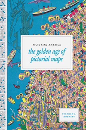
Instructive, amusing, colorful pictorial maps have been used and admired since the first medieval cartographer put pen to paper depicting mountains and trees across countries, people and objects around margins, and sea monsters in oceans. More recent generations of pictorial map artists have continued that traditional mixture of whimsy and fact, combining cartographic elements with text and images and featuring bold and arresting designs, bright and cheerful colors, and lively detail. In the United States, the art form flourished during the 1920s to the 1970s, when thousands of innovative maps were mass-produced for use as advertisements and decorative objects the golden age of American pictorial maps. Picturing America is the first book to showcase this vivid and popular genre of maps. Geographer and collector Stephen J. Hornsby gathers together 158 delightful pictorial jewels, most drawn from the extensive collections of the Library of Congress. In his informative introduction, Hornsby outlines the development of the cartographic form, identifies several representative artists, describes the process of creating a pictorial map, and considers the significance of the form in the history of Western cartography. Organized into six thematic sections, Picturing America covers a vast swath of the pictorial map tradition during its golden age, ranging from "Maps to Amuse" to "Maps for War." Hornsby has unearthed the most fascinating and visually striking maps the United States has to offer: Disney cartoon maps, college campus maps, kooky state tourism ads, WWII promotional posters, and many more. This remarkable, charming volume's glorious full -color pictorial maps will be irresistible to any map-lover or armchair traveler.
Surveyors of Empire

Surveyors of Empire

Stephen J. Hornsby

McGill-Queen's University Press
2011
nidottu
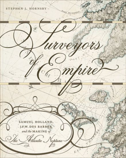
British imperial power was greatly bolstered by new techniques in surveying and map-making during the eighteenth century. Well before James Cook sailed for the Pacific in 1768, British army engineers working on the coastline from Quebec to Rhode Island had set new scientific standards for cartography that would assist the British in mapping future conquests. Surveyors of Empire explores the groundbreaking work of these engineers, which formed the basis of The Atlantic Neptune, a four-volume hydrographic atlas that stands as a monument of European Enlightenment science. Using research from both sides of the Atlantic, Stephen Hornsby examines the development of British military cartography in North America during and after the Seven Years War, as well as advancements in military and scientific equipment used in surveying. At the same time, he follows the land speculation of two leading surveyors, Samuel Holland and J. F. W. Des Barres, and the publication history of The Atlantic Neptune. Richly illustrated with images from The Atlantic Neptune and earlier maps, Surveyors of Empire is an insightful account of the relationship between science and imperialism, and the British shaping of the Atlantic world.
British Atlantic, American Frontier

British Atlantic, American Frontier

Stephen J. Hornsby

Dartmouth College Press
2004
nidottu
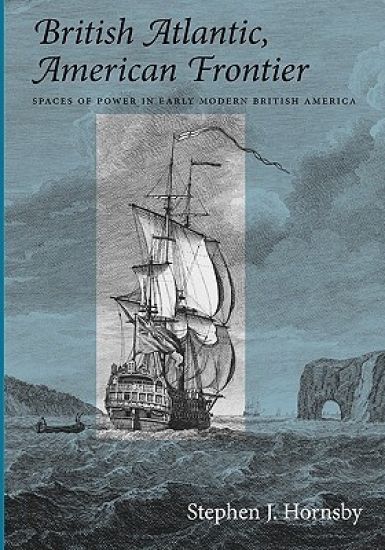
Reflecting the growing scholarly interest in transnational and comparative approaches to studying the past, British Atlantic, American Frontier offers a geographical perspective on the development of British America in the seventeenth and eighteenth centuries. It covers in detail not only the American eastern seaboard, but also eastern Canada and the West Indies, as well as the trans-Atlantic links to Western Europe and West Africa. At one level, the book synthesizes much of the current historical and geographical scholarship on these regions; at another level, it offers a provocative interpretation of British America, arguing that profound and long-standing differences existed between the American eastern seaboard and the Atlantic regions of eastern Canada and the West Indies. These differences ultimately led to the break-up of British America, the creation of the United States, and the reconfiguration of the British Empire. British Atlantic, American Frontier is illustrated with more than one hundred photographs, maps, and historical illustrations.
Nineteenth-Century Cape Breton

Nineteenth-Century Cape Breton

Stephen J. Hornsby

McGill-Queen's University Press
1992
sidottu
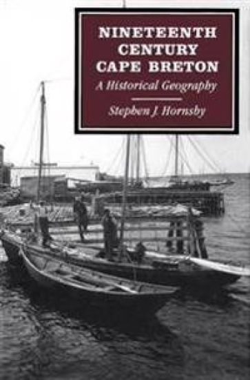
During the North American colonial period, the expansion of European capital and labour into North America created two broad patterns of regional development: agricultural settlement and the exploitation of raw materials or staples. Hornsby examines the development of nineteenth-century Cape Breton in light of these patterns, focusing on the impact of Scottish immigration on the island's settlement and agricultural development, and on the role of mercantile and industrial capital in developing Cape Breton's two great staple industries, cod fishing and coal mining. Hornsby also outlines the reasons for the massive exodus from Cape Breton during the late nineteenth century. The intersection of these two patterns of development gave rise to a distinctive regional geography. Over the course of a hundred years, a complex mosaic of different settlements, economies, and cultures emerged on the island. While the details and circumstances of these developments were unique to the island, elements of the Cape Breton experience were found in other areas of Maritime Canada. Viewed more generally, Hornsby suggests that the historical geography of this small, peripheral island offers a simple, somewhat stark encapsulation of some of the salient developments in the rest of settled Canada during the nineteenth century.