Kirjojen hintavertailu – 12 903 735 kirjaa ja 27 kauppaa

Kirjailija

Stephen Rippon

Kirjat ja teokset yhdessä paikassa: 13 kirjaa, julkaisuja vuosilta 2006–2025, suosituimpiin kuuluu Kingdom, Civitas, and County. Vertaile teosten hintoja ja tarkista saatavuus suomalaisista kirjakaupoista.

13 kirjaa

Kirjojen julkaisuvuodet: 2006–2025.

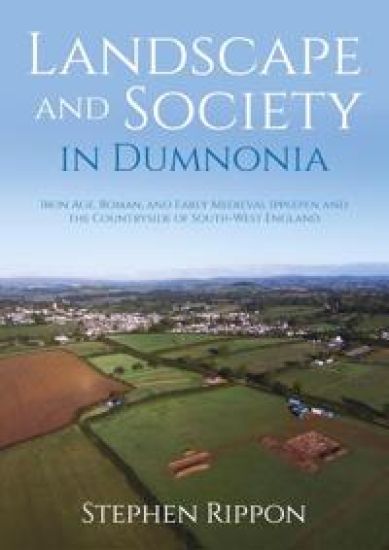
Landscape and Society in Dumnonia

Landscape and Society in Dumnonia

Stephen Rippon

OXBOW BOOKS
2025
sidottu

Halvin toimitettuna 55,20 €

This book explores the distinctive landscape and society of South-West England that had emerged by the Iron Age and which continued to develop during the Roman and medieval periods. A focus of the research was the long-term programme of survey and excavation on the Iron Age, Roman, and early medieval settlement at Dainton Elms Cross, in Ipplepen (Devon), which included the only Roman roadside settlement to have seen extensive excavation to the south and west of Exeter on the very edge of the Roman empire, as well as a substantial early medieval cemetery. First discovered through the reporting of an unusual concentration of Roman finds to the Portable Antiquities Scheme, the site was investigated through a joint university and community project led by the University of Exeter in partnership with the British Museum/PAS, Devon County Council, and Cotswold Archaeology. What for the South-West of England was exceptional preservation meant that large amounts of animal bone, charred cereals, and human remains were preserved, alongside a regionally important material culture assemblage. The site – which had been occupied for c. 1200 years – was abandoned around the 8th century AD. A programme of documentary, place-name, and historic landscape research across a study area extending from the coast up onto Dartmoor explores the context of this major landscape change, which appears to have been associated with the appearance of hamlets and open fields, and the fragmentation of an ‘early folk territory’. Together, the excavations in Ipplepen and the wider contextual research reveal how communities living in South-West England developed a distinctive identity that reflects a well-developed understanding of their region’s natural environment alongside a degree of ambivalence to outside cultural influences.
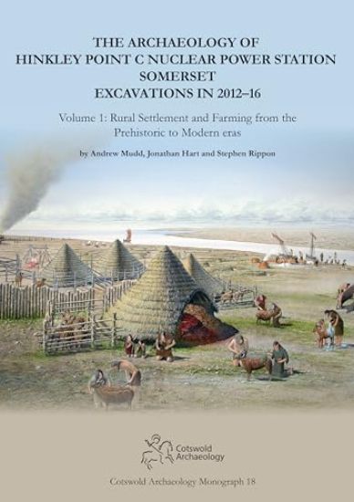
The Archaeology of Hinkley Point C Nuclear Power Station, Somerset. Excavations in 2012-16

The Archaeology of Hinkley Point C Nuclear Power Station, Somerset. Excavations in 2012-16

Andrew Mudd; Jonathan Hart; Stephen Rippon

Cotswold Archaeology
2024
sidottu
Early Neolithic occupation (from about 3600 BC) was represented by small groups of pits which were partly contemporary with a well-known round barrow – a protected monument called Wick Barrow or Pixies’ Mound – lying just outside the development site. Later prehistoric remains included Bronze Age burnt mounds, boundary ditches, a Late Bronze Age enclosure, and an Early Iron Age midden. There was more widespread Late Iron Age and Roman settlement, including a seasonally occupied linear settlement with evidence of salt-making. Contemporary activity included a nearby late Roman settlement. On another site a sequence of occupation from the late Iron Age to modern eras was examined. Here historical documents add to the account of the site and preserved the names of some of the farm’s recent inhabitants.
Territoriality and the Early Medieval Landscape

Territoriality and the Early Medieval Landscape

Stephen Rippon

BOYDELL BREWER LTD
2022
sidottu
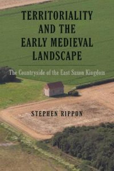
An exploration of small early folk communities prior to the eleventh century, showing their development and sophistication. All communities have a strong sense of identity with the area in which they live, which for England in the early medieval period manifested itself in a series of territorial entities, ranging from large kingdoms down to small districts known as pagi or regiones. This book investigates these small early folk territories, and the way that they evolved into the administrative units recorded in Domesday, across an entire kingdom - that of the East Saxons (broadly speaking, what is now Essex, Middlesex, most of Hertfordshire, and south Suffolk). A wide range of evidence is drawn upon, including archaeology, written documents, place-names and the early cartographic sources. The book looks in particular at the relationship between Saxon immigrants and the native British population, and argues that initially these ethnic groups occupied different parts of the landscape, until a dynasty which assumed an Anglo-Saxon identity achieved political ascendency (its members included the so-called "Prittlewell Prince", buried with spectacular grave-good in Prittlewell, near Southend-on- Sea in southern Essex). Other significant places discussed include London, the seat of the first East Saxon bishopric, the possible royal vills at Wicken Bonhunt near Saffron Walden and Maldon, and St Peter's Chapel at Bradwell-on-Sea, one of the most important surviving churches from the early Christian period.
Planning in the Early Medieval Landscape

Planning in the Early Medieval Landscape

John Blair; Stephen Rippon; Christopher Smart

LIVERPOOL UNIVERSITY PRESS
2022
nidottu
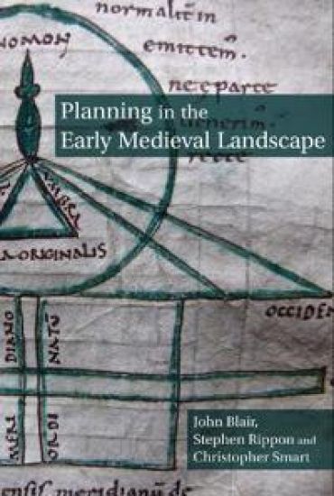
The extent to which Anglo-Saxon society was capable of large-scale transformations of the landscape is hotly disputed. This interdisciplinary book – embracing archaeological and historical sources – explores this important period in our landscape history and the extent to which buildings, settlements and field systems were laid out using sophisticated surveying techniques. In particular, recent research has found new and unexpected evidence for the construction of building complexes and settlements on geometrically precise grids, suggesting a revival of the techniques of the Roman land-surveyors (Agrimensores). Two units of measurement appear to have been used: the ‘short perch’ of 15 feet in central and eastern England, where most cases occur, and the ‘long perch’ of 18 feet at the small number of examples identified in Wessex. This technically advanced planning is evident during two periods: c.600–800, when it may have been a mostly monastic practice, and c.940–1020, when it appears to have been revived in a monastic context but then spread to a wider range of lay settlements. Planning in the Early Medieval Landscape is a completely new perspective on how villages and other settlement were formed. It combines map and field evidence with manuscript treatises on land-surveying to show that the methods described in the treatises were not just theoretical, but were put into practice. In doing so it reveals a major aspect of previously unrecognised early medieval technology.
Planning in the Early Medieval Landscape

Planning in the Early Medieval Landscape

John Blair; Stephen Rippon; Christopher Smart

Liverpool University Press
2020
sidottu
The extent to which Anglo-Saxon society was capable of large-scale transformations of the landscape is hotly disputed. This interdisciplinary book – embracing archaeological and historical sources – explores this important period in our landscape history and the extent to which buildings, settlements and field systems were laid out using sophisticated surveying techniques. In particular, recent research has found new and unexpected evidence for the construction of building complexes and settlements on geometrically precise grids, suggesting a revival of the techniques of the Roman land-surveyors (Agrimensores). Two units of measurement appear to have been used: the ‘short perch’ of 15 feet in central and eastern England, where most cases occur, and the ‘long perch’ of 18 feet at the small number of examples identified in Wessex. This technically advanced planning is evident during two periods: c.600–800, when it may have been a mostly monastic practice, and c.940–1020, when it appears to have been revived in a monastic context but then spread to a wider range of lay settlements. Planning in the Early Medieval Landscape is a completely new perspective on how villages and other settlement were formed. It combines map and field evidence with manuscript treatises on land-surveying to show that the methods described in the treatises were not just theoretical, but were put into practice. In doing so it reveals a major aspect of previously unrecognised early medieval technology.
Worldview Guide for One Day in the Life of Ivan Denisovich
" Ivan Denisovich succeeds on many levels. First, Solzhenitsyn tells a fascinating story of survival. Second, the novel is a great work of art in keeping with the classical ideals of truth, goodness, and beauty. Finally, Ivan Denisovich is a deeply Christian work that reflects a biblical theology of creation, fall, and redemption." -From Stephen Rippon's guideThe Canon Classics Worldview Guides provide an aesthetic and thematic Christian perspective on the most definitive and daunting works of Western Literature. The Worldview Guides focus on the big picture (both the good and the bad) without neglecting the details. Each Worldview Guide is a friendly literary coach-and a treasure map, and a compass, and a key-to help teachers, parents, and students appreciate, critique, and master the classics. The bite-size WGs are divided into these ten sections (with some variation due to genre): Introduction, The World Around, About the Author, What Other Notables Said, Setting, Characters, & Argument, Worldview Analysis, Quotables, 21 Significant Questions & Answers, and Further Discussion & Review.
Kingdom, Civitas, and County

Kingdom, Civitas, and County

Stephen Rippon

Oxford University Press
2018
sidottu
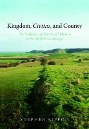
This book explores the development of territorial identity in the late prehistoric, Roman, and early medieval periods. Over the course of the Iron Age, a series of marked regional variations in material culture and landscape character emerged across eastern England that reflect the development of discrete zones of social and economic interaction. The boundaries between these zones appear to have run through sparsely settled areas of the landscape on high ground, and corresponded to a series of kingdoms that emerged during the Late Iron Age. In eastern England at least, these pre-Roman socio-economic territories appear to have survived throughout the Roman period despite a trend towards cultural homogenization brought about by Romanization. Although there is no direct evidence for the relationship between these socio-economic zones and the Roman administrative territories known as civitates, they probably corresponded very closely. The fifth century saw some Anglo-Saxon immigration but whereas in East Anglia these communities spread out across much of the landscape, in the Northern Thames Basin they appear to have been restricted to certain coastal and estuarine districts. The remaining areas continued to be occupied by a substantial native British population, including much of the East Saxon kingdom (very little of which appears to have been 'Saxon'). By the sixth century a series of regionally distinct identities - that can be regarded as separate ethnic groups - had developed which corresponded very closely to those that had emerged during the late prehistoric and Roman periods. These ancient regional identities survived through to the Viking incursions, whereafter they were swept away following the English re-conquest and replaced with the counties with which we are familiar today.
The Fields of Britannia

The Fields of Britannia

Stephen Rippon; Chris Smart; Ben Pears

Oxford University Press
2015
sidottu
It has long been recognized that the landscape of Britain is one of the 'richest historical records we possess', but just how old is it? The Fields of Britannia is the first book to explore how far the countryside of Roman Britain has survived in use through to the present day, shaping the character of our modern countryside. Commencing with a discussion of the differing views of what happened to the landscape at the end of Roman Britain, the volume then brings together the results from hundreds of archaeological excavations and palaeoenvironmental investigations in order to map patterns of land-use across Roman and early medieval Britain. In compiling such extensive data, the volume is able to reconstruct regional variations in Romano-British and early medieval land-use using pollen, animal bones, and charred cereal grains to demonstrate that agricultural regimes varied considerably and were heavily influenced by underlying geology. We are shown that, in the fifth and sixth centuries, there was a shift away from intensive farming but very few areas of the landscape were abandoned completely. What is revealed is a surprising degree of continuity: the Roman Empire may have collapsed, but British farmers carried on regardless, and the result is that now, across large parts of Britain, many of these Roman field systems are still in use.
Beyond the Medieval Village

Beyond the Medieval Village

Stephen Rippon

Oxford University Press
2014
nidottu
The varied character of Britain's countryside provides communities with a strong sense of local identity. One of the most significant features of the landscape in Southern Britain is the way that its character differs from region to region, with compact villages in the Midlands contrasting with the sprawling hamlets of East Anglia and isolated farmsteads of Devon. Even more remarkable is the very 'English' feel of the landscape in southern Pembrokeshire, in the far south west of Wales. Hoskins described the English landscape as 'the richest historical record we possess', and in this volume Stephen Rippon explores the origins of regional variations in landscape character, arguing that while some landscapes date back to the centuries either side of the Norman Conquest, other areas across southern Britain underwent a profound change around the 8th century AD.
Making Sense of an Historic Landscape

Making Sense of an Historic Landscape

Stephen Rippon

Oxford University Press
2012
sidottu
Why is it that in some places around the world communities live in villages, while elsewhere people live in isolated houses scattered across the landscape? How does archaeology analyse the relationship between man and his environment? Making Sense of an Historic Landscape explores why landscapes are so varied and how the landscape archaeologist or historian can understand these differences. Local variation in the character of the countryside provides communities with an important sense of place, and this book suggests that some of these differences can be traced back to prehistory. In his discussion, Rippon makes use of a wide range of sources and techniques, including archaeological material, documentary sources, maps, field- and place-names, and the evidence contained within houses that are still lived in today, to illustrate how local and regional variations in the 'historic landscape' can be understood. Rippon uses the Blackdown Hills in southern England, which marked an important boundary in landscape character from prehistory onwards, as a specific case study to be applied as a model for other landscape areas. Even today the fields, place-names, and styles of domestic architecture are very different either side of the Blackdown Hills, and it is suggested that these differences in landscape character developed because of deep-rooted differences in the nature of society that are found right across southern England. Although focused on the more recent past, the volume also explores the medieval, Roman, and prehistoric periods.
Beyond the Medieval Village

Beyond the Medieval Village

Stephen Rippon

Oxford University Press
2008
sidottu
The varied character of Britain's countryside and towns provides communities with a strong sense of local identity. One of the most significant features of the southern British landscape is the way that its character differs from region to region, with compact villages in the Midlands contrasting with the sprawling hamlets of East Anglia and isolated farmsteads of Devon. Even more remarkable is the very 'English' feel of the landscape in southern Pembrokeshire, in the far south west of Wales. Hoskins described the English landscape as 'the richest historical record we possess', and in this book Stephen Rippon explores the origins of regional variations in landscape character, arguing that while some landscapes date back to the centuries either side of the Norman Conquest, other areas across southern Britain underwent a profound change around the 8th century AD.
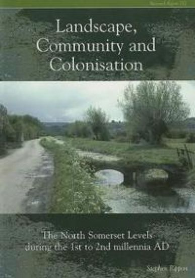
Landscape Community and Colonisation

Landscape Community and Colonisation

Stephen Rippon

Council for British Archaeology
2006
nidottu
Oxbow says: From 1993, the North Somerset Levels Project sought to investigate the origins and development of this area of reclaimed coastal marshland during the first and second millennia AD. The inter-disciplinary approach taken has added archaeological (survey and excavation) data, palaeoenvironmental evidence, studies of documentary sources, architecture, cartography and field- and place-names, to what was already known about the historic landscape. This report, which publishes the findings of the project, examines local and regional changes and variations in the landscape, focusing on two major phases of exploitation, modification and transformation during the Roman and medieval periods. Factors such as agriculture, grazing, salt production, fishing, draining, flood defence, and the establishment of settlements, roads, commons, field systems, as well as cultural factors, are all discussed, as evidence from the local area is placed within a wider regional context. An excellent study which exemplifies all that is new and exciting in landscape study.