Kirjojen hintavertailu – 12 878 926 kirjaa ja 26 kauppaa

Kirjailija

U. S. Geological Survey

Kirjat ja teokset yhdessä paikassa: 21 kirjaa, julkaisuja vuosilta 2012–2017, suosituimpiin kuuluu Lithofacies, Age, and Sequence Stratigraphy of the Carboniferous Lisburne Group in the Skimo Creek Area, Central Brooks Range. Vertaile teosten hintoja ja tarkista saatavuus suomalaisista kirjakaupoista.

Nimi esiintyy myös muodoissa: U S Geological Survey, U.S. Geological Survey

21 kirjaa

Kirjojen julkaisuvuodet: 2012–2017.

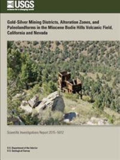
Gold-Silver Mining Districts, Alteration Zones, and Paleolandforms in the Miocene Bodie Hills Volcanic Field, California and Nevada
Three precious metal mining districts and nine areas of extensive hydrothermally altered rocks, or alteration zones, occur in the Bodie Hills, an upland of Tertiary-Quaternary volcanic and Mesozoic granitic and metamorphic rocks that straddles the California-Nevada state boundary between Mono Lake and the East Walker River (fig. 1). Cumulative production from the mining districts, Bodie, Aurora, and Masonic, is 3.4 million ounces (Moz) of gold (Au) and 28 Moz of silver (Ag). Small amounts of Hg were produced from the Potato Peak, Paramount-Bald Peak, and Cinnabar Canyon-US 395 alteration zones; a native sulfur (S ) resource in the Cinnabar Canyon-US 395 alteration zone has been identified by drilling. There are no known mineral resources in the other six alteration zones, Red Wash-East Walker River, East Brawley Peak, Sawtooth Ridge, Aurora Canyon, Four Corners, and Spring Peak. The mining districts and alteration zones formed between 13.4 and 8.1 Ma in predominantly...
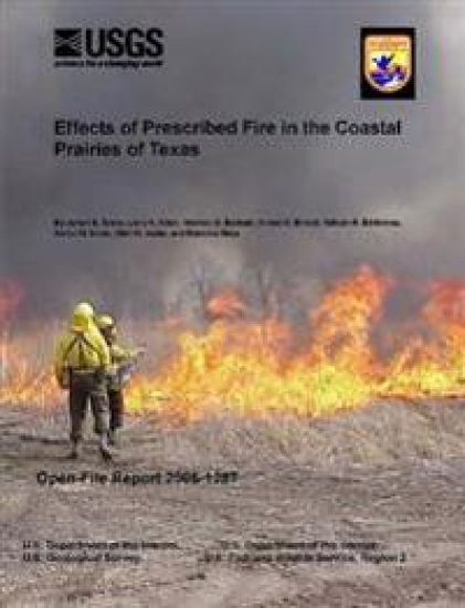
Effects of Prescribed Fire in the Coastal Prairies of Texas

Effects of Prescribed Fire in the Coastal Prairies of Texas

U.S. Geological Survey; U.S. Department of the Interior

Lulu.com
2016
nidottu
Prescribed fire is widely applied for habitat management in coastal ecosystems. Fire management plans typically list a variety of objectives for prescribed burning, including succession management, promotion of native flora and fauna, providing habitat for species of importance, wildfire risk reduction (fuels management), as well as reduction and/or prevention of invasive species. In most cases, the information needed to determine the degree to which management objectives are met is not available. This study sought to provide an assessment of key objectives of fire management at the U. S. Fish and Wildlife Service (USFWS) Texas Mid-coast National Wildlife Refuge Complex. The main purpose of this work was to provide information and recommendations that will support Region 2 of the USFWS in the conduct of their fire and habitat management activities in the Western Gulf coast region. There were four main components of this project...
Incorporating Induced Seismicity in the 2014 United States National Seismic Hazard Model: Results of 2014 Workshop and Sensitivity Studies
Incorporating Induced Seismicity in the 2014 United States National Seismic Hazard Model: Results of 2014 Workshop and SensThe U. S. Geological Survey (USGS) National Seismic Hazard Model (NSHM) for the conterminous United States was updated in 2014 to account for new methods, input models, and data necessary for assessing the seismic ground shaking hazard from natural (tectonic) earthquakes. The USGS NSHM project uses probabilistic seismic hazard analysis to quantify the rate of exceedance for earthquake ground shaking (ground motion). For the 2014 NSHM assessment, the seismic hazard from potentially induced earthquakes was intentionally not considered because we had not determined how to properly treat these earthquakes for the seismic hazard analysis. The phrases "potentially induced" and "induced" are used interchangeably in this report, however it is acknowledged that this classification is based on circumstantial evidence and scientific judgment.
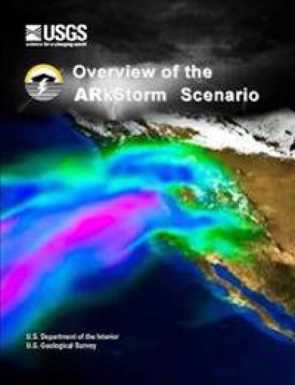
Overview of the Arkstorm Scenario

Overview of the Arkstorm Scenario

U.S. Department of the Interior; U.S. Geological Survey

Lulu.com
2015
nidottu
Naming the ARkStorm. A California storm is known by the year in which the storm occurred. To equate the storm in a person's mind requires some visceral knowledge of the event, or some understanding of history, meteorology, hydrology, engineering, or other relevant technical discipline. Even with that knowledge, the naming convention does not communicate the magnitude of the event. Therefore, the ARkStorm scenario was named so as to be independent of time, to acknowledge the meteorological phenomena behind most large storms on the U. S. West Coast, namely Atmospheric Rivers (ARs), and to provide some future scale to compare past and future events. The hypothetical scenario would be an Atmospheric River, AR with a value of 1,000 (k), or an ARkStorm. The Multihazards Demonstration Project. The ARkStorm Scenario is the second major project of the U. S. Geological Survey (USGS) Multi-Hazards Demonstration Project (MHDP).