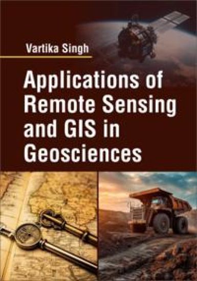
Remote Sensing and Geographic Information Systems (GIS) play a crucial role in advancing our understanding of the Earths geosciences. These technologies provide valuable tools for data acquisition, analysis, visualization, and decision-making in various geoscientific disciplines. The application of remote sensing and GIS in geosciences has revolutionized the way we study and manage natural resources, monitor environmental changes, and assess hazards. Remote sensing involves the collection of data about the Earths surface and atmosphere using sensors mounted on satellites, aircraft, or drones. These sensors capture images and other measurements in different spectral bands, ranging from visible light to microwave radiation. This data helps scientists study a wide range of geoscience phenomena, including land cover and land use, vegetation dynamics, oceanography, atmospheric conditions, and geological features. GIS, on the other hand, is a powerful tool for capturing, storing, analyzing, and displaying geospatial data. It combines maps, satellite imagery, and various data layers to create a digital representation of the Earths surface. GIS enables geoscientists to integrate different datasets, perform spatial analysis, and generate models and visualizations that aid in decision-making.