
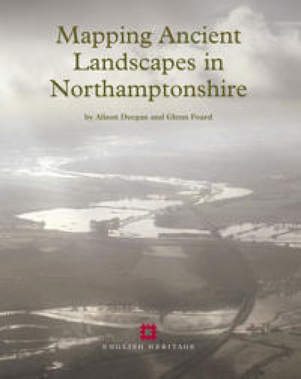
Mapping Ancient Landscapes in Northamptonshire – hinnat ja saatavuus
Kirjafiili on kirjojen hintavertailu. Löydä halvin hinta 27 kirjakaupasta. Hintavertailu koskee ISBN-tunnusta 9781905624423 (nidottu).
Kirjan kuvaus
Aerial reconnaissance and the National Mapping Programme project in Northamptonshire have recovered and mapped evidence of archaeological activity of widely varying character, from field systems through settlement remains to funerary… Näytä koko kuvaus Piilota kuvaus
Aerial reconnaissance and the National Mapping Programme project in Northamptonshire have recovered and mapped evidence of archaeological activity of widely varying character, from field systems through settlement remains to funerary monuments, and ranging in period from the Neolithic to the 20th century. This volume presents research and analyses the project’s results. The introduction is followed by two chapters that consider the reasons for the biases in the distribution of aerial photographic evidence. The first of these chapters reviews the history of aerial reconnaissance and mapping in Northamptonshire. The second considers the impact of soils, geology and past and present land use on the survival and visibility of earthworks, crop marks and soil marks. The subsequent analyses of the project’s results are presented primarily by period. First there is a discussion of the monuments and landscapes of the Neolithic and Bronze Age in the context of results from archaeological excavations, and in particular from the Raunds Area Project. This is followed by a review of the wider evidence for these periods in Northamptonshire and the Midlands by Alex Gibson. Reflecting the wealth of information revealed by aerial archaeology for these periods, a large proportion of this volume in concentrated on the Iron Age and Roman periods, in an attempt to characterise the settlements, boundaries and communications across different landscape zones. The three chapters on the Anglo-Saxon, medieval and post-medieval landscapes, and on 20th-century military remains review the contribution of the aerial archaeological evidence and consider whether this was maximised by the project. The final chapter assesses the methodology that evolved during the course of the project and its impact on data creation and subsequent data manipulation, interrogation and dissemination. The Northamptonshire National Mapping Programme data is archived by and disseminated through the National Monuments Record, Northamptonshire Sites and Monuments Record and also the Archaeology Data Service, York.
Kirjan tiedot
Vertaa kirjan ”Mapping Ancient Landscapes in Northamptonshire” hintoja
Vertaa tuotteen hintaa ja arvioitua kokonaishintaa toimitettuna. Kaikki hinnat koskevat ISBN-tunnusta 9781905624423.
Hintoja ei päivitetty automaattisesti. Voit hakea ajantasaiset hinnat painamalla Hae hinnat.

Booky

Suomalainen

Kansallinen Kirjakauppa

Prisma

Finlandia Kirja

Fantasiapelit

Vinhan kirjakauppa

CDON

Kustantamo S&S

Kennys.ie

Kristillinenkirjakauppa.fi

Sacrum

Adlibris

BookOutlet.fi

Kirja.fi

Rosebud
Tälle kirjalle ei ole tällä hetkellä vahvistettua hintaa. Tarkista tilanne myöhemmin uudelleen.
Hintoja ei ole vielä päivitetty.
Hälytys tallennettu!
Ilmoitamme, kun hinta laskee.
Saat sähköpostin, kun hinta laskee asettamaasi rajaan tai sen alle.
Mapping Ancient Landscapes in Northamptonshire – hintahistoria
Seuraamme kirjan Mapping Ancient Landscapes in Northamptonshire hintakehitystä kirjakaupoissa. Taulukosta näet viime kuukausien alimmat hinnat.
Alin hinta kauppoittain
Kunkin kaupan alin hinta viimeisten 90 päivän aikana.
Hintahistoriaa ei ole vielä kerätty tälle kirjalle.
Hinnat ilman toimituskuluja.