Kirjojen hintavertailu – 12 903 733 kirjaa ja 27 kauppaa

Kirjailija

Glenn Foard

Kirjat ja teokset yhdessä paikassa: 3 kirjaa, julkaisuja vuosilta 2008–2022, suosituimpiin kuuluu Mapping Ancient Landscapes in Northamptonshire. Vertaile teosten hintoja ja tarkista saatavuus suomalaisista kirjakaupoista.

3 kirjaa

Kirjojen julkaisuvuodet: 2008–2022.

Bosworth 1485

Bosworth 1485

Glenn Foard; Anne Curry

OXBOW BOOKS
2022
nidottu
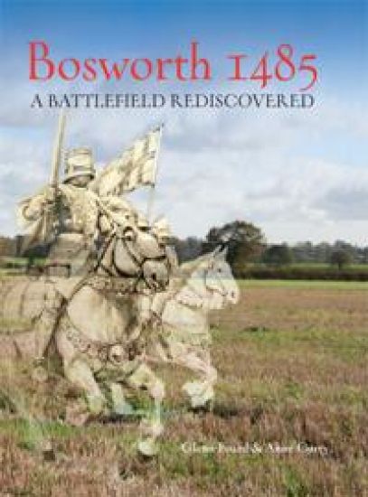
Bosworth stands alongside Naseby and Hastings as one of the three most iconic battles ever fought on English soil. The action on 22 August 1485 brought to an end the dynastic struggle known as the Wars of the Roses and heralded the dawn of the Tudor dynasty. However, Bosworth was also the most famous lost battlefield in England. Between 2005 and 2010, the techniques of battlefield archaeology were used in a major research programme to locate the site. Bosworth 1485: A Battlefield Rediscovered is the result. Using data from historical documents, landscape archaeology, metal detecting survey, ballistics and scientific analysis, the volume explores each aspect of the investigation – from the size of the armies, their weaponry, and the battlefield terrain to exciting new evidence of the early use of artillery – in order to identify where and how the fighting took place. Bosworth 1485 provides a fascinating and intricately researched new perspective on the event which, perhaps more than any other, marked the transition between medieval and early modern England.
Battlefield Archaeology of the English Civil War
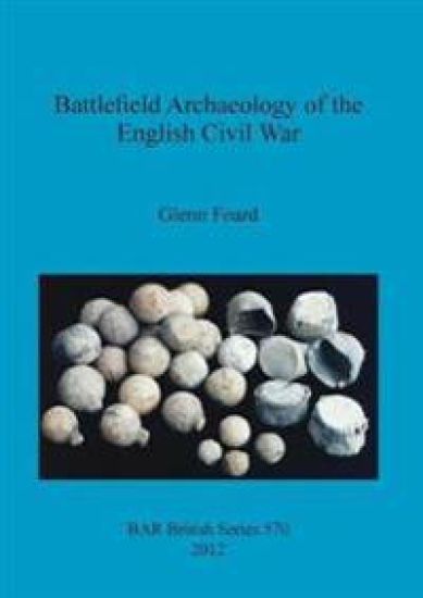
The present book demonstrates how major advances in the understanding of historic battles can be achieved through the application of the techniques of archaeology alongside those of military history, to exploit these neglected sets of evidence. It also provides examples of how results can be improved through the application of scientific expertise, in fields such as ballistics. It begins with a chronological review of battlefield studies in England, considering the effectiveness of the approaches that have been taken. Building upon this assessment, a detailed methodology is defined which seeks to exploit the full range of evidence that exists for these major historical events. Firstly the techniques for the reconstruction of the historic terrain are described, together with the ways in which the evidence from the primary sources for the battles can be used to place the military events more accurately within this context. As military history and landscape archaeology are well developed areas of research, their methodologies can be applied with little further development. It then shows how the hypotheses developed in such work can be validated and enhanced through analysis of the physical evidence left by the battles themselves. Because battle archaeology has received such limited attention in England there is a detailed discussion of the methodology for systematic survey of battle archaeology using metal detectors. However, given that lead bullets are the main form of archaeological evidence recovered from early modern battles, it is their analysis that forms the centre piece of this study. Finally the effectiveness of the whole methodology is demonstrated through a major new field investigation and documentary study of the terrain, battle archaeology and military history of the battle of Edgehill.
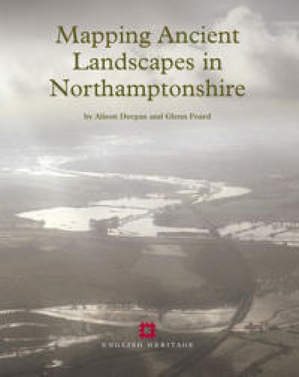
Mapping Ancient Landscapes in Northamptonshire

Mapping Ancient Landscapes in Northamptonshire

Alison Deegan; Glenn Foard

Historic England
2008
nidottu
Aerial reconnaissance and the National Mapping Programme project in Northamptonshire have recovered and mapped evidence of archaeological activity of widely varying character, from field systems through settlement remains to funerary monuments, and ranging in period from the Neolithic to the 20th century. This volume presents research and analyses the project’s results. The introduction is followed by two chapters that consider the reasons for the biases in the distribution of aerial photographic evidence. The first of these chapters reviews the history of aerial reconnaissance and mapping in Northamptonshire. The second considers the impact of soils, geology and past and present land use on the survival and visibility of earthworks, crop marks and soil marks. The subsequent analyses of the project’s results are presented primarily by period. First there is a discussion of the monuments and landscapes of the Neolithic and Bronze Age in the context of results from archaeological excavations, and in particular from the Raunds Area Project. This is followed by a review of the wider evidence for these periods in Northamptonshire and the Midlands by Alex Gibson. Reflecting the wealth of information revealed by aerial archaeology for these periods, a large proportion of this volume in concentrated on the Iron Age and Roman periods, in an attempt to characterise the settlements, boundaries and communications across different landscape zones. The three chapters on the Anglo-Saxon, medieval and post-medieval landscapes, and on 20th-century military remains review the contribution of the aerial archaeological evidence and consider whether this was maximised by the project. The final chapter assesses the methodology that evolved during the course of the project and its impact on data creation and subsequent data manipulation, interrogation and dissemination. The Northamptonshire National Mapping Programme data is archived by and disseminated through the National Monuments Record, Northamptonshire Sites and Monuments Record and also the Archaeology Data Service, York.