Kirjojen hintavertailu – 12 859 819 kirjaa ja 27 kauppaa
Kirjailija
David Brawn
Kirjat ja teokset yhdessä paikassa: 26 kirjaa, julkaisuja vuosilta 2006–2022, suosituimpiin kuuluu Rutland Water Challenge Map and Guide. Vertaile teosten hintoja ja tarkista saatavuus suomalaisista kirjakaupoista.
Sopernichestvo v biznese - eto stolknovenie umov, strategij i resursov. Devid Braun, veduschij podkasta Business Wars, auditorija kotorogo prevyshaet 4 milliona slushatelej v mesjats, napisal knigu po materialam podkasta, kotoraja mgnovenno zavoevala populjarnost, a prava na ee izdanie kupili srazu neskolko stran. Teper i na russkom: na ee stranitsakh avtor osveschaet naibolee jarkie primery stolknovenija interesov v biznese, provodja paralleli s idejami proslavlennogo kitajskogo voennogo stratega Sun-tszy, izlozhennymi v ego traktate "Iskusstvo vojny". Obobschiv glavnye temy soten vypuskov podkasta i vyvody sobstvennykh issledovanij, Braun izlagaet kljuchevye momenty istorii kompanij i vsemirno izvestnykh brendov - Microsoft, Apple, McDonalds, Mattel, Ford, General Motors, H&M, Kellogg i mnogikh drugikh, predstavljajuschikh prakticheski vse sfery dejatelnosti - ot proizvodstva produktov pitanija do kompjuternykh tekhnologij, ot aviaperevozok do izgotovlenija muzykalnykh instrumentov, ot "modnoj" industrii do prilozhenij znakomstv, ot fastfuda do videoprokata. Pri etom ot podkasta kniga otlichaetsja tem, chto avtor poluchil vozmozhnost sopostavit razlichnye primery uspekha v raznykh otrasljakh i dazhe istoricheskikh epokhakh. Analiz dejatelnosti tekh, kto stojal za formirovaniem teper uzhe privychnogo nam oblika tovarov ili razrabotkoj uslug, bud to pervoprokhodtsy, avtory biznes-idej ili ikh kovarnye, nedremljuschie konkurenty, daet bestsennye uroki tseleustremlennosti, izobretatelnosti, terpenija, muzhestva i khitrosti, pomogajuschie sozdat pribylnoe predprijatie. "Istorii uspekhov i provalov kommercheskikh kompanij stanovjatsja lichnymi istorijami ne tolko dlja ikh uchastnikov, no i dlja vsekh tekh, kogo zatragivaet rabota etikh kompanij. Brendy, o kotorykh govoritsja v etoj knige, - kraeugolnye kamni nashej zhizni. Zadacha etoj knigi - ne prosto rasskazat neskolko neobychajnykh istorij, no dobratsja do samoj suti kazhdogo iz konfliktov i izvlech vse poleznye uroki, kakie tolko mozhno v nem najti". (Devid Braun)Perevodchik: Prokofev Dmitrij A.
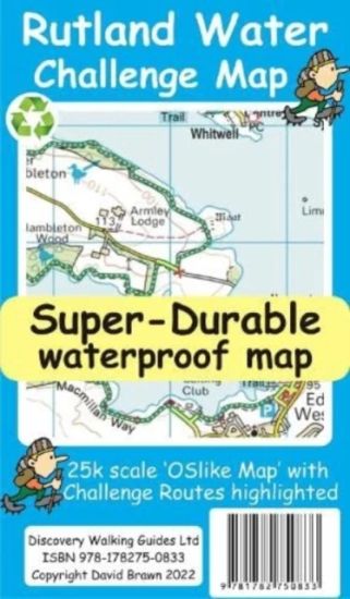
Rutland Water is the UK's largest man-made lake set in 4,200 acres of parkland including a wide, hard surfaced, walkway making the 'Water' an ideal introduction to long distance walking. There are four official, family friendly, recreation centres and nature reserves including the Rutland Osprey Project. Add in picturesque villages and the town of Oakham and you will soon understand why Rutland Water has become one of England's favourite 'Daycation' destinations. Rutland Water Challenge Map and Guide is a 25k scale OSlike map with the Challenge route specially highlighted. We licence OS 50k scale mapping which is then doubled in size to produce an OSlike 25k map but the features, text and logos are now doubled in size making them much easier to read under Challenge conditions. Rutland Water Challenge Route is added and specially highlighted so that our route stands out against the OSlike 25k map. Then we add the additional detail you might need including local hostelries along with the three walking routes; Hambleton Peninsula 8.3kms, Circular 24.5kms and the full Challenge route at 36kms. For each of the three routes we have gps track and waypoints as a gpx file; the zip file of the gpx files is available as a free download. These gps track and waypoints gpx files can be used on all gps phone apps and gps units. The 33 waypoints of the full Challenge route are highlighted on the map, and our Rutland Water Challenge Map is available as a free digital Custom Map download for Garmin gps users. On the reverse of the map sheet is our Locator Map using OS Opendata showing the location of, and access to, Rutland Water relative to a wide area of England. The result is a double sided 600mm by 600mm map design. We then print the map design on a 100 micron plastic substrate using a special UV curing inks process on the UK's only press capable of using this latest technology. The result is a lightweight map that is both waterproof and tearproof, and fully recyclable, that will survive anything your Rutland Water Challenge can throw at it and afterwards will fold up like new.
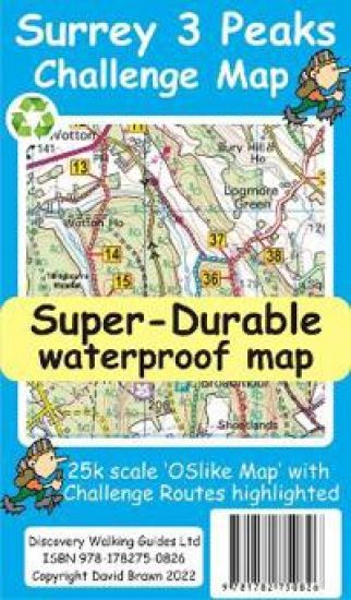
All hiking challenges are personal, yourself against the required completion time. A successful Challenge is a personal triumph. With its easy access, and ten hours target time, the Surrey 3 Peaks Challenge can be completed in a single (long) day if you are within commuting distance of Dorking. The Surrey Hills is an 'Area of Outstanding National Beauty'. It is difficult to think of anywhere more picturesque in which to undertake a walking Challenge. With all this natural beauty to hand do not forget that this is a Challenge, requiring a good level of fitness, good navigation, suitable clothing and footwear, along with refreshments and water to consume during our Challenge adventure. If you are new to Challenge walks you might consider our Rutland Water Challenge a first step in your long distance walking before tackling the Surrey 3 Peaks. Surrey 3 Peaks Challenge Map and Guide is a 25k scale OSlike map with the Challenge route specially highlighted. We licence OS 50k scale mapping which is then doubled in size to produce an OSlike 25k map but the features, text and logos are now doubled in size making them much easier to read under Challenge conditions. Our preferred Challenge Route, and two slightly different alternatives, are added and specially highlighted so that our route stands out against the OSlike 25k map. Gps track and waypoints for the three routes are available to download as gpx files in a zip file. The 50 waypoints of our Challenge route are highlighted on the map. These gpx files can be used with all gps phone apps and gps units. A digital Custom Map edition of our Surrey 3 Peaks map is available as a free download for use by Garmin users. On the reverse of the map sheet is our Locator Map using OS Opendata showing the location of, and access to, Surrey 3 Peaks relative to a wide area of southern England. The result is a double sided 600mm by 600mm map design. We then print the map design on a 100 micron plastic substrate using a special UV curing inks process on the UK's only press capable of using this latest technology. The result is a lightweight map that is both waterproof and tearproof, and fully recyclable, that will survive anything your Surrey 3 Peaks Challenge can throw at it and afterwards will fold up like new.
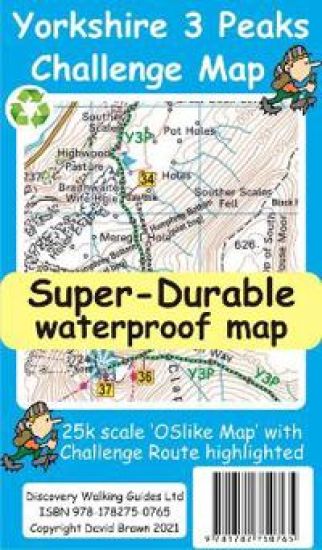
Yorkshire 3 Peaks Challenge Map and Guide at 25k scale with challenge route specially highlighted. We licence OS 50k scale mapping which is then doubled in size to produce a 25k map but the features, text and logos are now doubled in size making them much easier to read under challenge conditions. Y3P 12 Hour Challenge Route is added and specially highlighted so that the route stands out against the OS background map. Then we add the additional detail you might need including the popular Challenge starting points of the Pen Y Ghent Cafe (Horton), Station Inn (Ribblehead) and the Hill Inn (Chapel-le-Dale). Then we add the four parts of our Challenge Guide; 1 Horton to Pen-y-ghent, 2 Pen-y-ghent to Whernside, 3 Whernside to Ingleborough, 4 Ingleborough to Horton. The gps track and 47 waypoints (highlighted on the map) of our Challenge is available as a free gpx file download, and can be used on all gps phone apps and gps units. On the reverse of the map sheet is our Locator Map using OS Opendata showing the location of, and access to, the Yorkshire 3 Peaks Challenge relative to a wide area of England. The result is a double sided 600mm by 600mm map design. We then print the map design on a 100 micron plastic substrate using a special UV curing inks process on the UK's only press capable of using this latest technology. The result is a lightweight map that is both waterproof and tearproof, and fully recyclable, that will survive anything your Yorkshire 3 Peaks Challenge can throw at it and afterwards will fold up like new.
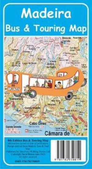
Madeira Bus & Touring Map - 8th Edition. Madeira's most popular map has been updated for its 8th edition. Madeira Island road map, at 60k scale, based on our latest Madeira Tour & Trail Map (40k scale) is combined with a Greater Funchal Street Plan showing the horario publico Funchal bus service. We have our 'Funchal Hotel Locator' index of over 60 hotels so that you can quickly find where your Funchal hotel is located. Timetable details for the country bus services operated by SAM Buses, Rodoeste Buses, Transportes Publicos Interurbana Service and Automoveis do Canico. This is a big map, 840mm by 600mm, printed on top quality map paper by one of the UK's top map printers. If you don't need the off - tarmac detail of our Madeira Tour & Trail Map then our Madeira Bus & Touring Map 8th Edition contains all the information you need for planning your touring around the 'Garden Isle' by bus or hire car.
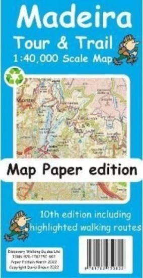
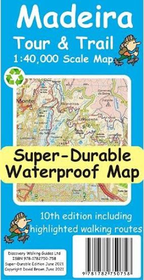
For your best adventures, use the best map. Madeiras favourite map is now in its 10th edition including the new Palheiro golf development, goodbye to the abandoned Ponta Pargo golf course, final sections of the VE3 road, loads of minor road updating especially in the south west. For hikers we have added several new highlighted walking routes. Madeira Tour and Trail Map is a large 960mm by 700mm double sided map sheet. Specialist concertina map folding means the 960mm by 700mm double sided map folds quickly to its 235mm by 120mm pocket size. This most detailed map of Madeira includes our Tour and Trail level of detail ranging from major roads to secondary roads to minor roads to streets and camino rural narrow country roads, plus dirt roads and walking trails. Altitude background colouring is designed to clearly show the altitude range when travelling across the island by car or on foot. 100 metre and 50 metre contours are clearly shown on the map along with a large number of individual height points and all of the official Trig points. Tour and Trail attention to detail is legendary as is our useful symbol range including miradors, picnic areas, petrol stations, bar restaurants and parking areas where you can pull off the road safely. You will easily identify springs, caves, sports grounds, cemetries, churchs, chapels, lighthouses, towers and forts, camping areas, wind turbines, hotels etc. For adventurers on foot Tour and Trail Maps are researched and designed by hikers for use by hikers. Our comprehensive gps ground surveys produce the best mapping available but the value of this on the ground research becomes even more important when you leave the tarmac. All of our DWG walking routes are accurately gps surveyed giving you confidence in the accuracy of our Tour and Trail Maps. All the walking routes from Madeira Walks volumes 1 and 2 by Shirley Whitehead highlighted in Red while other published walking routes (printed guide books and reliable web publications) are highlighted in Green. It all adds up to the most useful map of Madeira that you can buy anywhere. In use maps have a very tough life so you will appreciate our specialist concertina map fold that allows you to quickly open the map, and more importantly fold it back up to its pocket size after use. Paper maps will always suffer from the repeated unfolding, folding to the section you want to use, and then refolding.
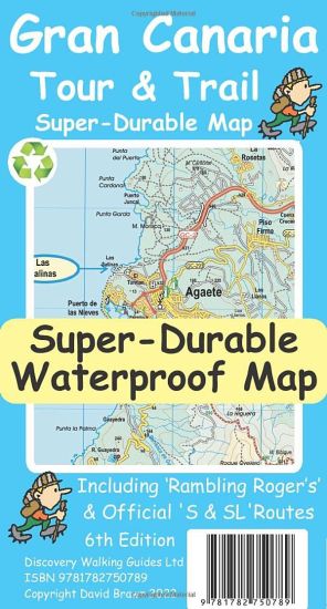
For the best adventures, use the best map. Gran Canaria Tour & Trail Super-Durable Map (50k scale) is a large 960mm by 700mm double sided map sheet which folds to its 235mm by 120mm pocket size. A special concertina map fold makes the map easy to unfold and refold in use. Super-Durable means water-proof and tear-proof, simply wipe clean with a damp cloth if your map gets dirty. This map has a "2 Year Guarantee" covering adventurous use. Gran Canaria North is on one side with South on the reverse side, while a generous common overlap minimises your map turning. This 6th edition is the result of DWG partnering 'Rambling Roger', Isabelle and Dane, surveying Gran Canaria in detail to produce this map. 20 metre and 100 metre contours combined with altitude shading bring these impressive landscapes to life. All of the legendary Tour & Trail attention to detail is included so that you will find those petrol stations, mirador viewpoints with parking, refreshment stops with parking and accurate road numbering that are so essential when adventuring by hire car. 'Off-Tarmac' Gran Canaria Tour & Trail Map is in a league of its own thanks to all the hiking trails and dirt tracks surveyed by Roger, Isabelle and Dane. Rambling Roger's walking trails from his latest guides are highlighted in red making this map and Roger's guides perfect for your walking adventures. We have also checked the walking routes from `Landscapes of Gran Canaria' and `Rother Gran Canaria' so whichever guide book you use this is your first choice map for your adventures. While Gran Canaria Tour & Trail Super-Durable Map will give years of adventurous use all the materials used in its production are fully recycleable. Quite simply, this is the toughest, most useable map of Gran Canaria for all your hiking, biking, car touring adventures. Digital editions of our Gran Canaria Tour & Trail Map are available as in-app purchases for Outdooractive and Locus Map apps. Discovery Walking Guides offer digital editions of Gran Canaria Tour & Trail Map in kmz (Garmin), sqlite.db for apps, and Oziexplorer formats, see website dwgwalking.co.uk for details.
For your best adventures, use the best map. Madeira's favourite map just got a whole lot better. Now in its 10th edition including the new Palheiro golf development, goodbye to the abandoned Ponta Pargo golf course, final sections of the VE3 road, loads of minor road updating especially in the south west. For hikers we have added several new highlighted walking routes. Madeira Tour & Trail Map is a large 960mm by 700mm double sided map sheet. Super-Durable edition comes with a 2 year adventurous use guarantee. Specialist concertina map folding means the 960mm by 700mm double sided map folds quickly to its 235mm by 120mm pocket size. This most detailed map of Madeira includes our 'Tour & Trail' level of detail ranging from major roads to secondary roads to minor roads to streets and camino rural narrow country roads, plus dirt roads and walking trails. Altitude background colouring is designed to clearly show the altitude range when travelling across the island by car or on foot. 100 metre and 50 metre contours are clearly shown on the map along with a large number of individual height points and all of the official 'Trig' points. Tour & Trail attention to detail is legendary as is our useful symbol range including miradors, picnic areas, petrol stations, bar/restaurants and parking areas where you can pull off the road safely. You will easily identify springs, caves, sports grounds, cemetries, churchs, chapels, lighthouses, towers and forts, camping areas, wind turbines, hotels etc. For adventurers on foot Tour & Trail Maps are researched and designed by hikers for use by hikers. Our comprehensive gps ground surveys produce the best mapping available but the value of this on the ground research becomes even more important when you leave the tarmac. All of our DWG walking routes are accurately gps surveyed giving you confidence in the accuracy of our Tour & Trail Maps. Madeira Tour & Trail Map includes all the walking routes from 'Madeira Walks' volumes 1 & 2 by Shirley Whitehead highlighted in Red while other published walking routes (printed guide books and reliable web publications) are highlighted in Green. It all adds up to the most useful map of Madeira that you can buy anywhere. In use maps have a very tough life so you will appreciate our specialist concertina map fold that allows you to quickly open the map, and more importantly fold it back up to its pocket size after use. Paper maps will always suffer from the repeated unfolding, folding to the section you want to use, and then refolding. We recommend everybody to obtain our Super-Durable editions printed with 100% oxygenation inks on Polyart by the UK's leading map printer, which produces a map that feels like silk but will stand up to the roughest treatment of outdoor adventuring and yet fold up like new at the end of your adventure. Tour & Trail Super-Durable Maps are more expensive than paper maps, but represent better value as they produce a lightweight map that feels like silk while being both water-proof and incredibly tough so that after even the toughest of adventures your Tour & Trail Super-Durable Map will fold up like new. Digital editions of Madeira Tour & Trail Map for phone apps and Garmin users are available on the dwgwalking website.
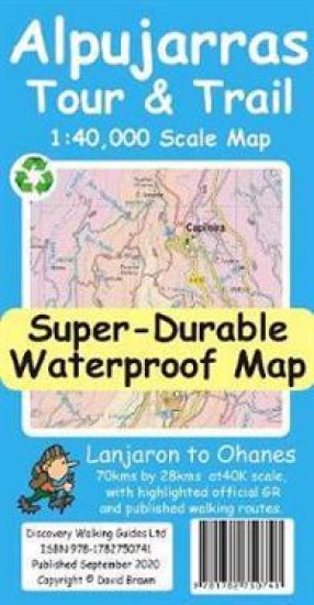
For the best adventures, use the best map. The Moorish white villages of the Alpujarras are well known to day trippers from the Costa del Sol. For walkers this is an idyllic region with stone-laid donkey trails linking the tipico villages and stretching up the southern slopes of the Sierra Nevada to Mulhacen; at 3,483 metres the highest mountain peak on mainland Spain. From Spring to the end of Autumn this is a paradise for hikers, whether you are walking from village to village sampling the local delicacies or tackling the challenging major ascents. One thing you will know is that using the Alpujarras Tour & Trail Map will help you plan, and get the best out of, your adventures. On a large 960mm by 700mm, double sided, map sheet at 40k scale this map has all the detail you need including 20 and 100 metre contours, combined with altitude shading, giving you a true feel to this impressive landscape stretching from west of Lanjaron to Ohanes in the east taking in the Poqueira and Trevelez valleys, while going north to include Mulhacen and Veleta mountain peaks along with the Sierra Nevada ski area. The GR240, GR142 & GR7 (official long distance hiking routes) are specially highlighted (in green) along with all the walking routes from Walk! the Alpujarras guidebook (in red). Our new edition Alpujarras Tour & Trail Map covers an area of 70 kms (E-W) by 28 kms (N-S); more than twice the land area of our earlier editions. A special 'Concertina Map Fold' makes Tour & Trail Maps easy to use, and more importantly easy to fold back to their handy pocket size. Digital editions of Alpujarras Tour & Trail Map are available for phone apps and Garmin users on our Discovery Walking Guides website. Tour & Trail Super-Durable Maps are printed on a specially finished plastic substrate using special inks which produces a lightweight map that feels like silk while being both water-proof and incredibly tough so that after even the toughest of adventures your Tour & Trail Super-Durable Map will fold up like new. Super-Durable Maps come with a 2 year adventurous use wear and tear guarantee. All the materials used for this map are 100% recyclable in category 2 HDPE.
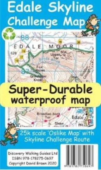
Edale Skyline Challenge is the most scenic of challenge routes thanks to the ridge line nature of its route. At just over 20 miles with a 10 hour challenge time it is suitable for fit leisure walkers as a great day out in good weather; in bad weather it really is a challenge. Free digital app and gps editions included in your purchase.
For the best adventures, use the best map. Water-proof, split-proof, tear-proof, adventure-proof. La Palma Tour & Trail Super-Durable Map 7th edition is simply the toughest, most accurate, easy to read, easy to use map of the island you can buy at any price. Super-Durable Maps come with a 2 year adventurous use `Wear and Tear' guarantee. 7th Edition of our La Palma Tour & Trail Super-Durable Map is a large 1:40,000 scale map, plus you can get digital editions from dwgwalking.co.uk . Splitting the island into a North (Landscape view) and South (Portrait view) with a generous overlap, produces a double sided map of 900mm by 700mm which folds to 235mm by 120mm. Our legendary 'Tour & Trail' level of detail ranges from major roads to secondary roads to minor roads to streets and camino rural narrow country roads, plus dirt roads and walking trails. Altitude background colouring is designed to clearly show the altitude range when travelling across the island by car or on foot. 100 metre and 50 metre contours are clearly shown on the map, along with a large number of individual height points and all of the official 'Trig' points. Tour & Trail attention to detail includes our useful symbol range including miradors, picnic areas, petrol stations, bar/restaurants and parking areas where you can pull off the road safely. You will easily identify springs, caves, sports grounds, cemeteries, churches, chapels, lighthouses, towers and forts, camping areas, wind turbines, hotels etc. For adventurers on foot Tour & Trail Maps are researched and designed by hikers for use by hikers. Our comprehensive gps ground surveys produce the best road mapping available but the value of this on the ground research becomes even more important when you leave the tarmac. All of our DWG walking routes are accurately gps surveyed, giving you confidence in the accuracy of our Tour & Trail Maps. La Palma Tour & Trail Super-Durable Map includes all the walking routes from Walk! La Palma (highlighted in red) along with the GR130 (in eight one day sections) and GR131 (in three one day sections) long distance hiking routes (highlighted in green), plus details of the PR walking routes (Pequeno Recoridos, highlighted in purple), plus details of the SL walking routes (Senderos Locales). It all adds up to the most detailed, most durable, most useful map of La Palma that you can buy anywhere. 'Super-Durable' means a waterproof, tear-proof, map that can take the roughest treatment and still folds up like new after your adventures. Our special concertina map fold means this 'near indestructible' Tour & Trail Map unfolds easily for use, and more importantly folds back up easily to its compact pocket size even after the toughest use. Digital editions of Tour & Trail Maps for phone apps and Garmin users are available on the dwgwalking website.
The whole 'Wainwright' Coast to Coast on one double sided, 960mm by 694mm, map sheet. All 193 miles (308 kilometres) of the Wainwright route along with its alternatives are highlighted across 9 map sections at 40k scale. Ordnance Survey accuracy is combined with Tour & Trail map design to produce 40k scale map sections which are easy to read. OS 50k Landranger mapping is expanded to 40k scale making the text and features over 40% larger making them easy to read and understand. Wainwright's C2C walking routes, and their alternatives, are specially highlighted in Tour & Trail style making the routes easy to find on the map and on the ground. Public `Rights of Way' paths and bridleways are also highlighted in Tour & Trail style making them easy to recognise and find. Coast 2 Coast Challenge Map design is then printed on Polyart using 100% oxygenation inks to produce a lightweight, Super-Durable, waterproof map that is tough enough to shrug off the worst that the C2C can subject it to and still fold up like new at the end of each day. In addition to the Super-Durable printed map, Discovery Walking Guides offers you a free `C2C Digital Resources Package'. Simply follow the instructions on the map to receive a download link to the zip file, which contains all 9 map sections as digital Custom Map editions in kmz file format along with 13 gpx waypoint files covering the 13 stages of the C2C. Combining the Super-Durable Map with the Digital Resources Package gives you trouble free navigation for the whole C2C Challenge route from St Bees to Robin Hood's Bay.
For better adventures, use the best map. Corfu TourTrail Super-Durable Map is the most detailed, accurate, toughest, large scale map of the island that you can buy. Our large 1:40,000 scale produces a double sided map sheet of 840mm by 680mm; big enough to show masses of detail but compact enough to use in the car or on the trail.
La Gomera and El Hierro TourTrail Maps are the most detailed, accurate, toughest, easy to read, large scale maps of La Gomera and El Hierro that you can buy. Digital editions of TourTrail Maps for phone apps and Garmin users are available on the dwgwalking website.
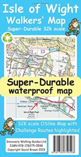
Isle of Wight Walkers' Map at 32k scale with challenge routes and walking trails highlighted. OS 50k scale mapping is expanded in size to produce a 32k map. The OS features, text and logos are now 50% larger making them much easier to read under outdoor conditions.
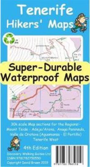
For the best adventures, use the best map. Our latest hiking research on Tenerife has resulted in new editions of Walk! Tenerife and Tenerife Hikers' Super-Durable Maps. Thanks to Jan Kostura's research we have several new hiking adventures described in detail in Walk! Tenerife. Jan's gps records of his research for new routes and updating of current routes has provided the detailed information to produce our new fourth edition of Tenerife Hiker's Super-Durable Maps. Note that Tenerife Hikers' Super-Durable Maps is a collection of four 30k scale map sections on a double sided sheet of 840mm by 600mm which folds up to 220mm by 120mm. It is not a map of all of Tenerife. You will find 30k scale maps covering Valle de Orotava, West, Anaga and Adeje/Arona - Teide printed on a double sided map sheet. We have combined two previous maps into a single map section; El Portillo and Valle de Orotava (and all the area between) is now a single map section covering the Orotava Valley from Aguamansa to beyond El Portillo and it also includes 4 new walking routes from Walk! Tenerife (2017) including the GR131 El Portillo to La Caldera, and two ascents of Montana Limon. Our 'Las Canadas-Adeje/Arona' map is now extended northwards beyond Teide so it now also includes Pico del Teide, Montana Blanca, Pico Viejo and Montana Rajada as well as the full Las Canadas crater. The 'West' map includes the latest TF-1 road along with the rerouting of three walking routes in this region. Not a lot changes in the Anaga except that Jan's research has produced three new hiking routes; Igueste - Chamorga, Igueste - Semaforo, and Cruz del Carmen - Punta del Hidalgo. Tenerife Hikers' Super-Durable Maps is produced using our 'Tour & Trail' level of detail ranging from major roads to secondary roads to minor roads to streets and camino rural narrow country roads, plus dirt roads and walking trails. Altitude background colouring is designed to clearly show the altitude range when travelling across the regions by car or on foot. 100 metre and 50 metre contours are clearly shown on the map along with a large number of individual height points and all of the official 'Trig' points. Our useful symbol range includes miradors, picnic areas, petrol stations, bar/restaurants and parking areas where you can pull off the road safely. You will easily identify springs, caves, sports grounds, cemeterys, churchs, chapels, lighthouses, towers and forts, camping areas, wind turbines, hotels and those all important information offices. Our 'Special Concertina Map Fold' makes Tour & Trail Maps easy to use, and more importantly easy to fold back to their handy pocket size.'Super-Durable' means you get a map printed on Polyart with 100% oxygenation inks by a UK leading map printer. This gives you a map that feels like silk but will stand up to the roughest treatment of outdoor adventuring and yet fold up like new at the end of your adventure. Polyart is made of high-density polyethylene (HDPE) and is therefore 100% recyclable in category 2 HDPE. For more information see the Polyart website. Digital editions of Tour & Trail Maps for phone apps and Garmin users are available on the dwgwalking website.
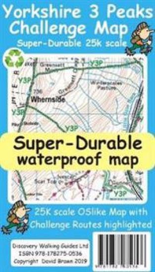
Yorkshire 3 Peaks Challenge Map at 25k scale with challenge routes highlighted. OS 50k scale mapping is doubled in size to produce a 25k map but the features, text and logos are now doubled in size making them much easier to read under challenge conditions. Y3P 12 Hour Challenge Route, and its options for ascending Whernside, are added and specially highlighted so that the route stands out against the OS background map. Then we add any additional detail you might need including the popular Challenge starting points of the Pen Y Ghent Cafe, Station Inn and Hill Inn. On the reverse of the map sheet are the Challenge and OS Legends, cover design, and an access map (approx 60k scale) for road access from the nearest towns of Ingleton and Settle. The result is a double sided 600mm by 600mm OSlike Super-Durable Map. We then print the map design on a 100 micron plastic substrate using a special UV curing inks process on the UK's only press capable of using this latest technology. The result is a lightweight map that is both waterproof and tearproof, and fully recyclable, that will survive anything your 3 Peaks Challenge can throw at it and afterwards will fold up like new.
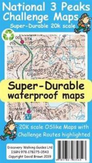
National 3 Peaks Challenge Maps. Ben Nevis, Scafell Pike and Snowdon at 20k scale. Waterproof, tearproof and 100% recyclable 820mm by 420mm double sided map sheet. Taking OS mapping at 50k scale we expand the mapping to produce 20k scale maps of the three challenge peaks, Ben Nevis, Scafell Pike and Snowdon. By expanding the OS mapping the features of names, roads, tracks and trails are more than doubled in size making them easier to read under Challenge conditions. We then add the Challenge Routes, specially highlighted to make them stand out against the OS map background information and add in additional information that will help your challenge. Each map covers the region to show the access roads as well as the walking routes. Ben Nevis includes the Glen Nevis Information Centre starting point and Glen Nevis Youth Hostel starting point. Scafell Pike includes the Wasdale and Seathwaite Challenge Routes. Snowdon includes the Pyg Track, Miners Track and Llamberis Challenge Routes. Each peak is a 420mm by 420mm OSlike map mounted on a double sided map sheet of 840mm by 420mm. The map designs are then printed on a 100 micron plastic substrate using UV cured inks on the UK's only press capable of using this latest technology. The result is a lightweight map that is both waterproof and tearproof, and fully recyclable, that will survive anything your 3 Peaks Challenge can throw at it and afterwards will fold up like new.
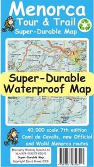
For the best adventures, use the best map. Menorca Tour & Trail Super-Durable Map covers this beautiful island at 40k scale resulting in the most detailed and toughest map of Menorca that you can buy. Menorca is a large island (700 sq kms) resulting in a large, 840mm by 600mm, double sided map sheet with East on one side and the West on the reverse. A generous common overlap reduces the need to turn the map over when navigating. Our special `concertina map fold' makes the map easy to unfold and refold to its pocket size, 215mm by 120mm. Super-Durable Maps include a 2 year adventurous use wear and tear guarantee. At 40k scale, the level of detail we can include on Menorca Tour & Trail Super-Durable Map is awesome. Building on our previous editions, we have our legendary level of Tour & Trail detail including the named archaeological sites. New in 2018 for our 7th edition are the road widening works on the ME-1 main road across the island, 30 new Official Walking Routes and 20 Official Cycling Routes. These new routes, along with Walk! Menorca walking routes and the Cami de Cavalls, are specially highlighted on the map making them easier to find and to follow on the ground. We've checked that `Menorca Landscapes' routes are correctly shown on our map. Whichever source you use for your hiking or cycling adventures, Menorca Tour & Trail Super-Durable Map will be your map of choice. Quite simply, Menorca Tour & Trail Super-Durable Map is the toughest, most usable map of the island that you can buy. Digital editions of Tour & Trail Maps for phone apps and Garmin users are available on the dwgwalking website.
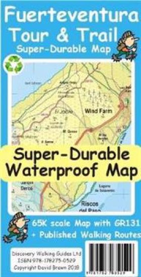
For the best adventures, use the best map. Fuerteventura is a large, 1,660 square kilometres, island. At 65k scale Fuerteventura Tour & Trail Super-Durable Map is a large 960mm by 620mm, double sided map sheet, which folds down to its 220mm by 120mm pocket size. A specialist concertina map fold means this map is easy to unfold for use and then refold to its pocket size. Super-Durable means that the Tour & Trail Map is printed on a plastic substrate using specially curing inks to produce a map that feels like silk but is tougher than any other map. Super-Durable is backed by a Discovery Walking Guides (DWG) 2-Year Guarantee against failure in the adventurous use for which the map is designed. If your Super-Durable Map gets dirty then gently wipe clean with a soft wet cloth and allow to fully dry before refolding to pocket size. On one side of the map is the island's north with the south on the reverse side. There's a generous common overlap to minimise turning the map in use. 100 metre contours combined with altitude shading bring these impressive landscapes to life. All the legendary Tour & Trail attention to detail is included, so that you'll find those petrol stations, mirador viewpoints with parking, refreshment stops with parking and accurate road numbering that are essential when adventuring by hire car. The recently opened motorway-style main roads bypassing Costa Calma and linking Corralejo to Puerto del Rosario are included, along with their detailed road junctions. 'Off-Tarmac' Fuerteventura Tour & Trail Map is in a league of its own thanks to all the hiking trails and dirt tracks included in our map design. The GR131 Official (155 kilometre/7 days) long distance walking trail from Faro de Jandia to Corralejo and the Isla de Lobos is specially highlighted in red. All the walking routes (30+) from Landscapes of Fuerteventura plus routes (40+) from Fuerteventura-Hiking are specially highlighted in green. All of the highlighted walking routes are backed up by detailed gps survey records. Whichever walking adventures you choose, you'll find them on our Fuerteventura Tour & Trail Super-Durable Map. See Amelia Bolger's You Tube 3 Stunning Walks in Fuerteventura to see the island landscapes. Digital editions for phone apps and Garmin users are available on the Discovery Walking Guides website. See You Tube 3 Stunning Walks in Fuerteventura.