Kirjojen hintavertailu – 12 859 819 kirjaa ja 27 kauppaa

Kirjailija

Jan Kostura

Kirjat ja teokset yhdessä paikassa: 17 kirjaa, julkaisuja vuosilta 2018–2025, suosituimpiin kuuluu Fuerteventura Tour & Trail Map (3rd edition). Vertaile teosten hintoja ja tarkista saatavuus suomalaisista kirjakaupoista.

17 kirjaa

Kirjojen julkaisuvuodet: 2018–2025.

Fuerteventura Tour & Trail Map (3rd edition)

Fuerteventura Tour & Trail Map (3rd edition)

Jan Kostura

DISCOVERY WALKING GUIDES LTD
2025
kartta, viikattu

Halvin toimitettuna 22,60 €

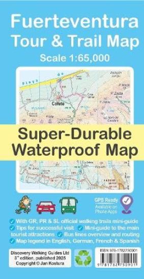
For your best adventures, use the best map. Water-proof, split-proof, tear-proof, adventure-proof. Fuerteventura Tour & Trail Super-Durable Map is simply the toughest, most accurate, easy to read, easy to use multipurpose map that you can get. A large 960mm by 640mm double sided map sheet covers Fuerteventura at 1:65,000 scale and includes also Isla de Lobos. A generous overlap and two extra mini-maps of the whole Fuerteventura reduce the need of turning the map in use. Whether you plan to walk, or discover the island by car or the bus, this is the map for you. New for the 3rd edition is a summary of Fuerteventura bus system with an overview of bus lines. Bus stops along with actual bus numbers are then highlighted in the map to help you see where each bus runs. Those relying on a hire car will appreciate kilometre markers seen along the roads plotted each kilometre in the map, aiding you track progress and show where you are. Also new is a summary and a mini-guide to main tourist attractions of Fuerteventura, with useful tips for a successful visit. Besides our unique map legend in English, we now have a second multilingual legend in English, German, French and Spanish. Our legendary 'Tour & Trail' level of detail ranges from motorways, main roads, secondary roads, minor roads, streets and narrow country roads, dirt roads and tracks to walking trails and faint paths. For walkers, our new overview of Fuerteventura's official walking routes' network helps getting oriented in the classification and length of routes. The GR 131 long distance route is specially highlighted on the map in red, while the medium (PR) and short distance (SL) routes are in green. Published walking routes are then highlighted in purple. Altitude shading is designed to clearly show the altitude range when travelling across the island by car, bus, or on foot. 20-metre and 100-metre contours combined with the altitude shading bring this beautiful landscape to life. There are plenty of individual height points and all of the official 'Trig' points are on the map. Tour & Trail attention to detail includes our useful symbol range such as viewpoints, picnic areas, petrol stations, bar/restaurants and parking areas where you can pull off the road safely. You will easily identify springs, caves, sports grounds, museums, churches, chapels, crosses, cemeteries, lighthouses, forts, wind turbines, windmills, hotels and tourist sites. It all adds up to the most detailed and most durable map of Fuerteventura that you can get. 'Super-Durable' means a waterproof, tear-proof, map that can take the roughest treatment and still folds up like new after your adventures. Super-Durable Maps come with a 2-year adventurous use 'Wear and Tear' guarantee. DWG's special concertina map fold makes our map easy to open and more importantly easy to refold back to its 232mm by 120mm size. Digital edition of the map is available as in-app purchase for Locus Map and Avenza Maps phone apps.
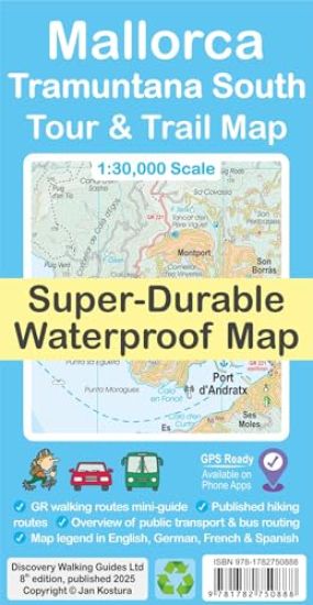
Mallorca - Tramuntana South Tour & Trail Map

Mallorca - Tramuntana South Tour & Trail Map

Jan Kostura

DISCOVERY WALKING GUIDES LTD
2025
kartta, viikattu

Halvin toimitettuna 22,60 €

For your best adventures, use the best map. Water-proof, split-proof, tear-proof, adventure-proof. Mallorca's Tramuntana South Tour & Trail Super-Durable Map is simply the toughest, most accurate, easy-to-read, easy-to-use multi-purpose map that you can get. Whether you plan to walk, or explore southern Tramuntana by car or the bus, this is the map for you. A large 960mm by 694mm double sided map sheet covers southern half of Serra de Tramuntana at 1:30,000 scale. This 8th edition sees a significant upgrade from the previous Mallorca North & Mountains Tour & Trail Map, as we have split Serra de Tramuntana in two halves to produce TWO much more detailed maps of larger scale, now also including all the popular tourist resorts on the southern coast. This map covers a continuous area from Tramuntana's southern-most point Cap de Cala Figuera, including all the coastal resorts such as Magaluf, Santa Ponca and Peguera, with Port d'Andratx and Sa Dragonera islet also covered, all the way to Soller and Port de Soller at the opposite end of the map (for the area from Soller further due north-east to Pollenca and Cap de Formentor, see our second title: Mallorca - Tramuntana North Tour & Trail Map). An extra mini-map of the whole Mallorca at 300k scale puts the area covered by the main map into perspective and gives a good overview of what is covered by each map sheet. Our new guide to Mallorca's public transport will help you get oriented using various service providers that operate buses, trains, metro and tram to make the most of your adventures. Bus stops along with actual bus numbers are then highlighted in the map to help you see where each bus runs. Those relying on a hire car will appreciate kilometre markers plotted each kilometre in the map on most roads, aiding you to track progress and to show where you are. For walkers, the GR 221 long-distance route is specially highlighted in the map (red), with a boxed mini-guide to the GR 221 and GR 222, summarizing the most important aspects of the main route, its variants and accommodation. Highlighted in the map (green) are also published walking routes by Sunflower and Rother, helping you identify passable walking adventures on an island where private properties along trails may sometimes pose a challenge to hikers. Our legendary 'Tour & Trail' level of detail ranges from railways, motorways, main roads, secondary roads, minor roads, streets and narrow country lanes, dirt tracks to walking trails and faint/difficult paths. Altitude shading is designed to clearly show the altitude range when travelling across the island by car, bus, or on foot. 20-metre and 100-metre contours combined with the altitude shading bring this beautiful landscape to life. There are plenty of individual height points and all of the official 'Trig' points are on the map. Tour & Trail attention to detail includes our useful symbol range such as viewpoints, picnic areas, petrol stations, bar/restaurants and parking areas where you can pull off the road safely. You will easily identify springs, caves, sports grounds, museums, churches, chapels, crosses, cemeteries, lighthouses, forts, wind turbines, windmills, hotels and tourist attractions. It all adds up to the most detailed and most durable map of Mallorca's Tramuntana South that you can get. Besides our unique map legend in English, we now have a second multilingual legend in English, German, French and Spanish. 'Super-Durable' means a waterproof, tear-proof, map that can take the roughest treatment and still folds up like new after your adventures. Super-Durable Maps come with a 2-year adventurous use 'Wear and Tear' guarantee. DWG's special concertina map fold makes our map easy to open and more importantly easy to refold back to its 232mm by 120mm size. Digital edition of the map is available as in-app purchase for Avenza Maps and Locus Map phone apps.
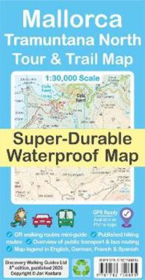
Mallorca - Tramuntana North Tour & Trail Map

Mallorca - Tramuntana North Tour & Trail Map

Jan Kostura

DISCOVERY WALKING GUIDES LTD
2025
kartta, viikattu
For your best adventures, use the best map. Water-proof, split-proof, tear-proof, adventure-proof. Mallorca's Tramuntana North Tour & Trail Super-Durable Map is simply the toughest, most accurate, easy-to-read, easy-to-use multi-purpose map that you can get. Whether you plan to walk, or explore northern Tramuntana by car or the bus, this is the map for you. A large 960mm by 694mm double sided map sheet covers northern half of Serra de Tramuntana at 1:30,000 scale. This 8th edition sees a significant upgrade from the previous Mallorca North & Mountains Tour & Trail Map, as we have split Serra de Tramuntana in two halves to produce TWO much more detailed maps of larger scale. This map covers a continuous area from Tramuntana's northern-most Cap de Formentor, including all the coastal resorts such as Port de Pollenca and Port d'Alcudia, all the way to Soller and Deia at the opposite end of the map (for the area from Soller further due south-west to Magaluf, Peguera and Port d'Andratx, see our second title: Mallorca - Tramuntana South Tour & Trail Map). Our new guide to Mallorca's public transport will help you get oriented in various service providers that operate buses, trains, metro and tram to make the most of your adventures. Bus stops along with actual bus numbers are then highlighted in the map to help you see where each bus runs. Those relying on a hire car will appreciate kilometre markers plotted each kilometre in the map on most roads, aiding you track progress and show where you are. For walkers, the GR 221 long-distance route is specially highlighted in the map (red), with a boxed mini-guide to the GR 221 and GR 222, summarizing the most important aspects of the main route, its variants and accommodation. Highlighted in the map (green) are also published walking routes by Sunflower and Rother, helping you identify passable walking adventures on an island where private properties along trails may sometimes pose a challenge to hikers. We have also included a small dictionary or frequently used Catalan words appearing in the map. Our legendary 'Tour & Trail' level of detail ranges from railways, motorways, main roads, secondary roads, minor roads, streets and narrow country lanes, dirt tracks to walking trails and faint/difficult paths. Altitude shading is designed to clearly show the altitude range when travelling across the island by car, bus, or on foot. 20-metre and 100-metre contours combined with the altitude shading bring this beautiful landscape to life. There are plenty of individual height points and all of the official 'Trig' points are on the map. Tour & Trail attention to detail includes our useful symbol range such as viewpoints, picnic areas, petrol stations, bar/restaurants and parking areas where you can pull off the road safely. You will easily identify springs, caves, sports grounds, museums, churches, chapels, crosses, cemeteries, lighthouses, forts, wind turbines, windmills, hotels and tourist attractions. It all adds up to the most detailed and most durable map of Mallorca's Tramuntana North that you can get. Besides our unique map legend in English, we now have a second multilingual legend in English, German, French and Spanish. 'Super-Durable' means a waterproof, tear-proof, map that can take the roughest treatment and still folds up like new after your adventures. Super-Durable Maps come with a 2-year adventurous use 'Wear and Tear' guarantee. DWG's special concertina map fold makes our map easy to open and more importantly easy to refold back to its 232mm by 120mm size. Digital edition of the map is available as in-app purchase for Avenza Maps and Locus Map phone apps.
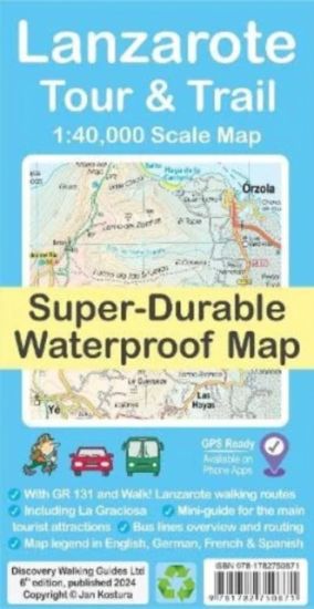
Lanzarote Tour & Trail Map

Lanzarote Tour & Trail Map

Jan Kostura

DISCOVERY WALKING GUIDES LTD
2024
nidottu

Halvin toimitettuna 21,90 €

For your best adventures, use the best map. Water-proof, split-proof, tear-proof, adventure-proof. Lanzarote Tour & Trail Super-Durable Map is simply the toughest, most accurate, easy to read, easy to use multipurpose map that you can get. A large 960mm by 694mm double sided map sheet covers Lanzarote and its neighbouring island La Graciosa at 1:40,000 scale. A generous overlap and an extra mini-map reduce the need of turning the map in use. Whether you plan to walk, or discover the island by car or the bus, this is the map for you. New for the 6th edition is a summary of Lanzarote bus system, with overview of bus lines and actual bus routes highlighted in the map. Also new is a summary and a mini-guide to main tourist attractions of Lanzarote, with tips for a successful visit. Besides our unique map legend in English, we now have a second multi-language legend in English, German, French and Spanish. Our legendary 'Tour & Trail' level of detail ranges from motorways, main roads, secondary roads, minor roads, streets and narrow country roads, dirt roads and tracks to walking trails and faint paths. For walkers, the GR 131 long distance route is specially highlighted on the map in red, while walking routes from Walk! Lanzarote by Discovery Walking Guides are highlighted in green. Altitude shading is designed to clearly show the altitude range when travelling across the island by car, bus, or on foot. 20-metre and 100-metre contours combined with the altitude shading bring this beautiful landscape to life. There are plenty of individual height points and all of the official 'Trig' points are on the map. Tour & Trail attention to detail includes our useful symbol range such as viewpoints, picnic areas, petrol stations, bar/restaurants and parking areas where you can pull off the road safely. You will easily identify springs, caves, sports grounds, museums, churches, chapels, crosses, cemeteries, lighthouses, forts, camping areas, wind turbines, windmills, hotels and tourist sites. It all adds up to the most detailed and most durable map of Lanzarote and La Graciosa that you can get. 'Super-Durable' means a waterproof, tear-proof, map that can take the roughest treatment and still folds up like new after your adventures. Super-Durable Maps come with a 2-year adventurous use 'Wear and Tear' guarantee. DWG's special concertina map fold makes our map easy to open and more importantly easy to refold back to its 232mm by 120mm size. Digital edition of the map is available as in-app purchase for Outdooractive, Avenza Maps and Locus Map phone apps.
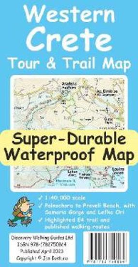
Western Crete Tour & Trail Super-Durable Map

Western Crete Tour & Trail Super-Durable Map

Jan Kostura

DISCOVERY WALKING GUIDES LTD
2023
nidottu

Halvin toimitettuna 21,90 €

For your best adventures, use the best map. Water-proof, split-proof, tear-proof. Western Crete Tour & Trail Super-Durable Map is simply the toughest, most accurate, easy to read, easy to use map that you can buy at any price. A large 960mm by 694mm double sided map sheet at 1:40,000 scale covers area of over 1600km2, from Paleochora in the west to Preveli beach in the east. The map covers the most important hiking regions in the western Crete, including the famous Samaria Gorge, Lefka Ori (White Mountains) and much more. Our legendary 'Tour & Trail' level of detail ranges from major roads to secondary roads to minor roads to streets and narrow country roads, plus dirt roads, tracks and walking trails. Place names are in English and Greek to aid your navigation. Altitude shading is designed to clearly show the altitude range when travelling across the island by car or on foot. 20-metre and 100-metre contours combined with altitude shading bring this beautiful landscape to life. There are plenty of individual height points and all of the official 'Trig' points are on the map. Tour & Trail attention to detail includes our useful symbol range including viewpoints, picnic areas, petrol stations, bar/restaurants and parking areas where you can pull off the road safely. You will easily identify springs, caves, sports grounds, cemeteries, monasteries, churches, chapels, lighthouses, forts, camping areas, waterfalls, wind turbines, windmills, hotels etc. For walkers, the E4 long distance walking route is specially highlighted on the map in red. Published walking routes are highlighted in green. It all adds up to the most detailed, most durable map of Western Crete that you can buy anywhere. 'Super-Durable' means a waterproof, tear-proof, map that can take the roughest treatment and still folds up like new after your adventures. Super-Durable Maps come with a 2-year adventurous use 'Wear and Tear' guarantee. DWG's special concertina map fold makes our map easy to open and easy to refold back to its 232mm by 120mm size. Digital editions of our Western Crete Tour & Trail Map are available as in-app purchases for Outdooractive, Locus Map and Avenza apps
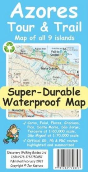
Azores Tour & Trail Super-Durable Map (2nd edition)

Azores Tour & Trail Super-Durable Map (2nd edition)

Jan Kostura

DISCOVERY WALKING GUIDES LTD
2023
kartta, viikattu

Halvin toimitettuna 22,60 €

For your best adventures, use the best map. Water-proof, split-proof, tear-proof, adventure-proof. Azores Tour & Trail Super-Durable Map is the most detailed, accurate, toughest, large scale map of these 9 islands that you can buy. 1:60,000 scale for each island, Sao Miguel at 70,000 scale, produces a double sided map sheet of 960mm by 694mm; big enough to show masses of detail but compact enough to use in the car or on the trail. Our special concertina map fold means your map is easy to unfold, and more importantly easy to refold back to its pocket size. Faial, Pico, Santa Maria and Sao Jorge are on the facing sheet of the map, with Corvo, Flores, Graciosa, Sao Miguel and Terceira on the reverse side. You get the most detailed map of the Azores islands that is produced, including our Tour & Trail level of detail ranging from major roads to secondary roads to minor roads to streets and narrow country roads, plus dirt tracks and walking trails. Altitude shading is designed to clearly show the altitude range when travelling across the island by car or on foot. 20 metre and 100 metre contours combined with altitude shading bring this beautiful landscape to life. There are plenty of individual height points and all of the official 'Trig' points are on the map. Tour & Trail attention to detail includes our useful symbol range including viewpoints, picnic areas, petrol stations, bar/restaurants and parking areas where you can pull off the road safely. You will easily identify springs, caves, sports grounds, cemeteries, monasteries, churches, chapels, lighthouses, castles, camping areas, wind turbines, windmills etc. All of the official GR, PR and PRC walking routes are specially highlighted on the map, with summaries for each island, including distances, timings and grades of difficulty. It all adds up to the most detailed, most durable map of the Azores that you can buy anywhere. 'Super-Durable' means a waterproof, tear-proof map that can take the roughest treatment and still folds up like new after your adventures. Super-Durable Maps come with a 2 year adventurous use 'Wear and Tear' guarantee.
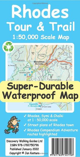
Rhodes Tour and Trail Map

Rhodes Tour and Trail Map

Jan Kostura

DISCOVERY WALKING GUIDES LTD
2022
kartta, viikattu
For your best adventures, use the best map. Water-proof, split-proof, tear-proof. Rhodes Tour & Trail Super-Durable Map is simply the toughest, most accurate, easy to read, easy to use map that you can buy at any price. A large 960mm by 700mm double sided map sheet covers Rhodes at 1:50,000 scale and includes Chalki and Symi islets. On the cover side is Rhodes South with Chalki and Symi, with Rhodes North and street plans of Rhodes Town on the reverse. We have two street plans of the capital town. Rhodes Town greater area is at 12k scale, including Acropolis in the west and spanning beyond Rodini park in the south. The other street plan shows the fortified Old Town in great detail at 5k scale. DWG's special concertina map fold makes our map easy to open and easy to refold to its 233mm by 120mm pocket size. Our legendary 'Tour & Trail' level of detail ranges from major roads to secondary roads to minor roads to streets and narrow country roads, plus dirt roads, tracks and walking trails. Place names are in English and Greek to aid your navigation. Altitude shading is designed to clearly show the altitude range when travelling across the island by car or on foot. 20 metre and 100 metre contours combined with altitude shading bring this beautiful landscape to life. There are plenty of individual height points and all of the official 'Trig' points are on the map. Tour & Trail attention to detail includes our useful symbol range including viewpoints, picnic areas, petrol stations, bar/restaurants and parking areas where you can pull off the road safely. You will easily identify springs, caves, sports grounds, cemeteries, monasteries, churches, chapels, lighthouses, castles, camping areas, wind turbines, windmills, hotels etc. Rhodes Compendium of Walking Adventures walking routes (all 98 walking routes) are specially highlighted on the map. It all adds up to the most detailed, most durable map of Rhodes, Chalki and Symi that you can buy anywhere. 'Super-Durable' means a waterproof, tear-proof, map that can take the roughest treatment and still folds up like new after your adventures. Super-Durable Maps come with a 2 year adventurous use 'Wear and Tear' guarantee. Digital editions of our Rhodes Tour & Trail Map are available as in-app purchases for Outdooractive and Locus Map apps. Discovery Walking Guides offer digital editions of Rhodes Tour & Trail Map in kmz (Garmin), sqlite.db for apps, and Oziexplorer formats, see website dwgwalking.co.uk for details.
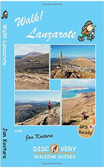
Walk Lanzarote

Walk Lanzarote

Jan Kostura

DISCOVERY WALKING GUIDES LTD
2022
nidottu

Halvin toimitettuna 23,90 €

Lanzarote's most popular walking guide book just got even better. Walk! Lanzarote 5th edition builds on the reputation of our earlier editions with comprehensive updating so that it caters for the needs of the increasing number of people who would like to combine some walking with a holiday on the Fire island. Walk Lanzarote explodes the myth that there is nowhere worth walking on the island as we range through strolling on coastal promenades, walking across alpine style meadows, striding over the lava sea, dropping into volcanoes, sitting on high mountain seats - quite simply you will be amazed at the wide variety of stunning landscapes the Fire island has to offer the adventurous leisure walker. For the 5th edition we've checked several routes and updated them where necessary. Walk Lanzarote's forty one main walking routes provide a wide variety of adventures with routes ranging from family friendly costal promenades through a surprising range of landscapes up to some serious hiking. Every route is an adventure that will make you eager to explore further on this spectacular island. Walk Lanzarote is produced to our highest standards with walk summary and rating, fully detailed description, frequent timings so you can check your progress, compass directions, and gps waypoints for all country routes. Each country route has full 1:40,000 scale colour mapping and gps waypoints dedicated to that route, while our Teguise town walk uses a large scale street plan. All routes are illustrated with colour photos. Culture and agriculture are included along with a Thingy section on modern art. We've emphasised the Access by Bus sections for each walk along with our Access by Car information for each walking route. Map sections for each route are taken from the Lanzarote Tour & Trail Super-Durable Map 5th edition. For gps users the gps waypoint files are available as a free downloadable zip file on the Discovery Walking Guides website. Quite simply the best book of Lanzarote that you can buy. If this is your first visit to Lanzarote then Walk! Lanzarote plus Lanzarote Tour & Trail Map will give you a series of adventures that will have you returning to the Fire island to experience more.
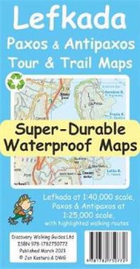
Lefkada, Paxos and Antipaxos Tour and Trail Maps

Lefkada, Paxos and Antipaxos Tour and Trail Maps

Jan Kostura

DISCOVERY WALKING GUIDES LTD
2021
kartta, viikattu
Lefkada, PaxosAntipaxos TourTrail Super-Durable Maps are simply the toughest, most accurate, easy to read, easy to use maps of these Ionian islands that you can buy at any price. Lefkada at 1:40,000 scale on one side, with Paxos and Antipaxos islands at 1:25,000 scale on the reverse.
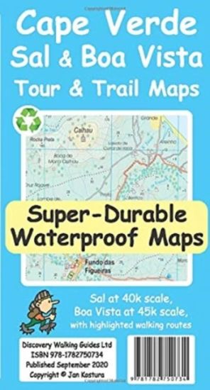
Cape Verde Sal and Boa Vista Tour and Trail Maps

Cape Verde Sal and Boa Vista Tour and Trail Maps

Jan Kostura

Discovery Walking Guides Ltd
2020
kartta

Halvin toimitettuna 20,90 €

For your best adventures, use the best maps. Water-proof, split-proof, tear-proof, adventure-proof. Sal and Boa Vista Tour & Trail Super-Durable Maps are simply the toughest, most accurate, easy to read, easy to use maps of these two islands that you can buy at any price. A large 840mm by 690mm double sided map sheet has Sal at 1:40,000 scale on the cover side, with Boa Vista at 1:45,000 scale on the reverse. There are also street plans of Espargos, Santa Maria (Sal) and Sal Rei (Boa Vista) at 1:10,000 scale. Our special concertina map fold makes our map easy to open and easy to refold to its 230mm by 120mm pocket size. Our legendary 'Tour & Trail' level of detail ranges from major roads to secondary roads to minor roads to streets and narrow country roads, plus dirt roads, tracks and walking trails. Altitude shading each 100 metres is designed to clearly show the altitude range when travelling across the island by car or on foot. 20 metre and 100 metre contours combined with altitude shading bring these beautiful landscapes to life. There are plenty of individual height points and all of the official 'Trig' points are on the maps. Tour & Trail attention to detail includes our useful symbol range including viewpoints, petrol stations, bar/restaurants and parking areas where you can pull off the road safely. You will easily identify springs, caves, sports grounds, cemeteries, churches, chapels, lighthouses, corrals, wind turbines, hotels, sand dunes etc. Published walking routes are highlighted on the maps. It all adds up to the most detailed and most durable maps of Sal and Boa Vista that you can buy anywhere. 'Super-Durable' means a waterproof, tear-proof, map that can take the roughest treatment and still folds up like new after your adventures. Super-Durable Maps come with a 2 year adventurous use 'Wear and Tear' guarantee. Digital editions of our Sal and Boa Vista Tour and Trail Maps are available for phone apps and Garmin users on our Discovery Walking Guides website.
Kefalonia Tour and Trail Map

Kefalonia Tour and Trail Map

Jan Kostura

Discovery Walking Guides Ltd
2020
kartta, viikattu

Halvin toimitettuna 21,90 €

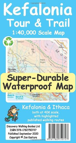
Kefalonia was popularised and made famous by Captain Corelli's Mandolin. For your best adventures, use the best map. Water-proof, split-proof, tear-proof, adventure-proof. Kefalonia and Ithaca Tour and Trail Super Durable Map is simply the toughest, most accurate, easy to read, easy to use map of the island you can buy at any price. A large 960mm by 690mm double sided map sheet has both Kefalonia and Ithaca at 1:40,000 scale with the North-West of Kefalonia on the cover side and the South-East of Kefalonia with neighbouring island Ithaca on the reverse. A generous common overlap of Kefalonia reduces the need to turn the map over when navigating. Our special concertina map fold makes your map easy to open and easy to refold to its 230mm by 120mm pocket size. Our legendary 'Tour & Trail' level of detail ranges from major roads to secondary roads to minor roads to streets and narrow country roads, plus dirt roads, tracks and walking trails. Place names are in English and Greek to aid your navigation. Altitude shading is designed to clearly show the altitude range when travelling across the island by car or on foot. 20 metre and 100 metre contours combined with altitude shading bring this beautiful landscape to life. There are plenty of individual height points and all of the official Trig points are on the map. Tour and Trail attention to detail includes our useful symbol range including viewpoints, picnic areas, petrol stations, bar/restaurants and parking areas where you can pull off the road safely. You will easily identify springs, caves, sports grounds, cemeteries, monasteries, churches, chapels, lighthouses, castles, camping areas, wind turbines, hotels etc. Published walking routes are clearly highlighted on the map. It all adds up to the most detailed and most durable map of Kefalonia and Ithaca that you can buy anywhere. Super Durable means a waterproof, tear-proof, map that can take the roughest treatment and still folds up like new after your adventures. Super Durable Maps come with a 2 year adventurous use Wear and Tear guarantee. Digital editions of our Kefalonia and Ithaca Tour and Trail Map are available for phone apps and Garmin users from our Discovery Walking Guides website.
Walk Tenerife

Walk Tenerife

Jan Kostura

Discovery Walking Guides Ltd
2020
nidottu

Halvin toimitettuna 21,80 €

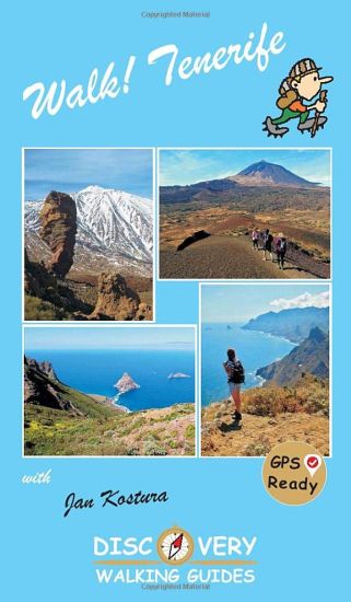
TENERIFE - A WALKER'S ISLAND Tenerife is a big island - 2034 square kilometres big. It offers walkers a wide variety of exciting landscapes to choose from; everything from coastal strolls, high altitude summits, pine forests and laurel forests, challenging and strenuous routes to easy country walks. Walk! Tenerife is a comprehensive walking guide book to Tenerife's best walking. 42 fully detailed walking routes with large scale maps. GPS Waypoints for all 42 routes can be downloaded for free from Discovery Walking Guides website. In the North choose from walks through pine forests and along forest tracks and walking trails, with fine views in clear weather. The South has diverse routes; forest walks, mountains and barrancos, villages and untouched wild countryside. The West offers mountain routes and rugged country hikes. The Central High Altitude region is home to some of the most exciting mountain and canadas routes within the National Park, including the Paisaje Lunar route, and the challenges of `The Big One - Crater Rim Challenge' and the ascent of Mount Teide. The rugged Anaga in the far north-east offers wild beauty, tiny hamlets, soaring peaks and plunging barrancos. Routes vary in approximate walking time from 90 minutes to over 6 hours, and from 5 to 18 kilometres in length. Ascents and descents are shown for each walk. Difficulty ratings from 2 to 5 walker help you choose the right route. Refreshment ratings are shown and vertigo risk is shown where appropriate. Some routes are circular, others linear `out-and-back' or linear one way. Access to routes by bus and/or by car ensure you reach the start and get back from the end safely. Enjoy the rich variety of landscapes and adventures that Tenerife has to offer.
Tenerife BusTouring Map

Tenerife BusTouring Map

Jan Kostura

DISCOVERY WALKING GUIDES LTD
2020
kartta, viikattu
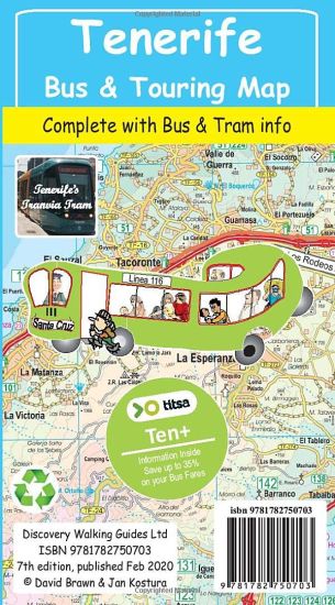
Tenerife BusTouring Map, the island's most popular map, is now back in its new 7th edition for 2020 now that TITSA (island bus company) has finished reorganising its routes and bus stations, and the island authorities have completed their road numbering system; extended motorway system and junctions numbered by their kilometer marker.
Zakynthos (Zante) Tour & Trail Map

Zakynthos (Zante) Tour & Trail Map

Jan Kostura

Discovery Walking Guides Ltd
2019
kartta

Halvin toimitettuna 21,90 €

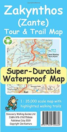
For the best adventures, use the best map. Water-proof, split-proof, tear-proof, adventure-proof. Zakynthos (Zante) Tour & Trail Super-Durable Map is simply the toughest, most accurate, easy to read, easy to use map of the island you can buy at any price. Super-Durable Maps come with a 2 year adventurous use `Wear and Tear' guarantee. A large 840mm by 694mm double sided map sheet has Zakynthos (Zante) at 1:35,000 scale with the North-West of the island on the cover side and the South-East on the reverse. There is a very generous overlap between the two sides so the only time you need to turn the map over is if you are driving from Cape Skinari (NW) to Cape Gerakas (SE) at the opposite end of the island. Our special concertina map fold makes our map easy to use and easy to refold to its 235mm by 120mm pocket size. You can also download the digital Custom Map edition of our Zakynthos Tour & Trail Map for use with Garmin gps units and software; simply follow the instructions on the map sheet. Our legendary 'Tour & Trail' level of detail ranges from major roads to secondary roads to minor roads to streets and narrow country roads, plus dirt roads and walking trails. Place names are in English and Greek to aid your navigation. Altitude shading is designed to clearly show the altitude range when travelling across the island by car or on foot. 100 metre and 20 metre contours are clearly shown on the map along with individual height points and all of the official 'Trig' points. Tour & Trail attention to detail includes our useful symbol range including viewpoints, picnic areas, petrol stations, bar/restaurants and parking areas where you can pull off the road safely. You will easily identify springs, caves, sports grounds, cemeteries, churches, chapels, lighthouses, towers and forts, camping areas, wind turbines, hotels etc. We have ensured that all the walking routes from the Sunflower walking guide book are highlighted (red) on the maps. It all adds up to the most detailed, most durable, most useful map of Zakynthos (Zante) that you can buy anywhere. Digital editions are available for phone apps and Garmin users from the Discovery Walking Guides website.
Malta and Gozo Tour and Trail Map

Malta and Gozo Tour and Trail Map

Jan Kostura

Discovery Walking Guides Ltd
2019
kartta

Halvin toimitettuna 20,90 €

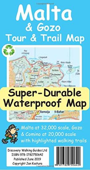
For the best adventures, use the best map. Water-proof, split-proof, tear-proof, adventure-proof. Malta and Gozo Tour & Trail Super-Durable Map is simply the toughest, most accurate, easy to read, easy to use map of the island you can buy at any price. Super-Durable Maps come with a 2 year adventurous use `Wear and Tear' guarantee. A large 840mm by 694mm double sided map sheet has Malta at 1:32,000 scale on one side, with Gozo at 1:20,000 scale on the reverse. Our special concertina map fold makes our map easy to use and easy to refold to its 235mm by 120mm pocket size. Our legendary 'Tour & Trail' level of detail ranges from major roads to secondary roads to minor roads to streets and narrow country roads, plus dirt roads and walking trails. Altitude background colouring is designed to clearly show the altitude range when travelling across the islands by car or on foot. 100 metre and 20 metre contours are clearly shown on the map along with individual height points and all of the official 'Trig' points. Tour & Trail attention to detail includes our useful symbol range including viewpoints, picnic areas, petrol stations, bar/restaurants and parking areas where you can pull off the road safely. You will easily identify springs, caves, sports grounds, cemeteries, churches, chapels, lighthouses, towers and forts, camping areas, wind turbines, hotels etc. We have ensured that all the walking routes from the Sunflower and Rother walking guide books are highlighted (red) on the maps. It all adds up to the most detailed, most durable, most useful maps of Malta and Gozo that you can buy anywhere. 'Super-Durable' means a waterproof, tear-proof, map that can take the roughest treatment and still folds up like new after your adventures. Our special concertina map fold means this 'near indestructible' Tour & Trail Map unfolds easily for use, and more importantly folds back up easily to its compact pocket size even after the toughest use. Digital editions of our Malta and Gozo Tour & Trail Map are available for phone apps and Garmin users on our Discovery Walking Guides website.
La Gomera and El Hierro Tour and Trail Maps

La Gomera and El Hierro Tour and Trail Maps

David Brawn; Jan Kostura

DISCOVERY WALKING GUIDES LTD
2019
kartta

Halvin toimitettuna 20,90 €

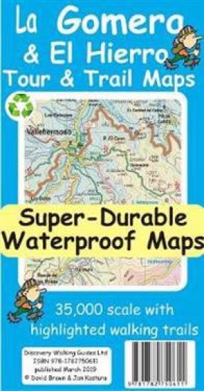
La Gomera and El Hierro TourTrail Maps are the most detailed, accurate, toughest, easy to read, large scale maps of La Gomera and El Hierro that you can buy. Digital editions of TourTrail Maps for phone apps and Garmin users are available on the dwgwalking website.
Walk! La Palma

Walk! La Palma

Charles Davis; Jan Kostura

Discovery Walking Guides Ltd
2018
pokkari
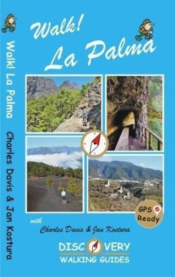
Revised/updated 4th ed. 37 fully detailed walking itineraries. Routes include summary, ratings for Effort, Time, Distance, Ascents/Descents, Refreshments and Vertigo risk. Detailed walk description includes frequent timings. GPS Waypoints at every key point on every route where GPS reception allows. Full colour 1:40,000 scale map of the route.