Kirjojen hintavertailu – 12 903 725 kirjaa ja 27 kauppaa

Kirjailija

Mapseeker Publishing Ltd.

Kirjat ja teokset yhdessä paikassa: 22 kirjaa, julkaisuja vuosilta 2013–2019, suosituimpiin kuuluu Somersetshire 1611 – 1836 – Fold Up Map that features a collection of Four Historic Maps, John Speed’s County Map 1611, Johan Blaeu’s County Map of 1648, Thomas Moules County Map of 1836 and a Plan of the City of Bath from 1851 by John Tallis. The maps feature a number of vignette views from the period.. Vertaile teosten hintoja ja tarkista saatavuus suomalaisista kirjakaupoista.

22 kirjaa

Kirjojen julkaisuvuodet: 2013–2019.

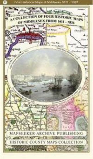
Middlesex 1611 â?? 1836 â?? Fold Up Map that features a collection of Four Historic Maps, John Speedâ??s County Map 1611, Johan Blaeuâ??s County Map of 1648, Thomas Moules County Map of 1836 and a Map of the Environs of London 1836.
This folded map (890mm x 1000mm when unfolded) is an ideal souvenir for tourists to Middlesex and also a valuable reference resource for local and family history research. It includes 4 Historic maps of Middlesex.
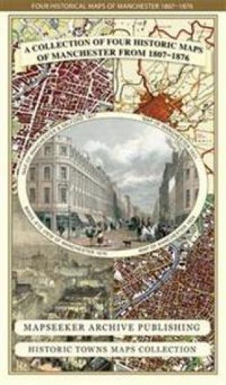
Manchester 1650 - 1876 - Fold Up Map featuring William Swire's Plan of Manchester and Environs 1824, Cole and Ropers Plan of Manchester and Salford 1807, Dawson's Reform Plan of 1831, A Birds Eye View of 1876 Manchester and a Plan of Manchester of 1650
This folded map (890mm 1000mm when unfolded) is an ideal souvenir for tourists to Manchester and also a valuable reference resource for local and family history research. It includes 4 historic maps of Manchester, a Plan of Manchester by Cole and Roper 1807, a Plan of Manchester by William Swire's 1824, a Plan of Manchester by Dawson 1831, as well as a Bird's Eye View of Manchester from 1876 and a much earlier Plan of Manchester from 1650. All the maps have been meticulously re-produced from antique originals and printed on 90 gsm "Progeo" paper which was specially developed as a map paper. It has high opacity to help reduce show through and a cross grain giving it greater durability to as the map is being folded.
Essex 1610 – 1836 – Fold Up Map that features a collection of Four Historic Maps, John Speed’s County Map 1610, Johan Blaeu’s County Map of 1648, Thomas Moules County Map of 1836 and a Plan of Colchester 1805 by Cole and Roper.
This folded map (890mm x 1000mm when unfolded) is an ideal souvenir for tourists to Essex and also a valuable reference resource for local and family history research. It includes 4 Historic maps of Essex, John Speed's County Map of Essex1611, Johan Blaeu's County Map of Devon 1648,Thomas Moule's County Map of Essex 1836 and the detailed Plan of Colchester 1805 by Cole and Roper. All the maps have been meticulously re-produced from antique originals and printed on 90 gsm "Progeo" paper which was specially developed as a map paper. It has high opacity to help reduce show through and a cross grain giving it greater durability to as the map is being folded.
Hampshire 1610 – 1836 – Fold Up Map that features a collection of Four Historic Maps, John Speed’s County Map 1611, Johan Blaeu’s County Map of 1648, Thomas Moules County Map of 1836 and a Plan of Winchester 1805 by Cole and Roper. The maps also feature three historic views from the 1840’s, Gosport, Men of War at Spithead and The Saluting Platform at Portsmouth.
This folded map (890mm x 1000mm when unfolded) is an ideal souvenir for tourists to Hampshire and also a valuable reference resource for local and family history research. It includes 4 Historic maps of Hampshire, John Speed's County Map of Hampshire 1611, Johan Blaeu's County Map of Kent 1648, Thomas Moule's County Map of Hampshire 1836 and the detailed Plan of Winchester 1805 by Cole and Roper. All the maps have been meticulously re-produced from antique originals and printed on 90 gsm "Progeo" paper which was specially developed as a map paper. It has high opacity to help reduce show through and a cross grain giving it greater durability to as the map is being folded.
Devon 1611 – 1836 – Fold Up Map that features a collection of Four Historic Maps, John Speed’s County Map 1611, Johan Blaeu’s County Map of 1648, Thomas Moules County Map of 1836 and a Plan of Exeter 1851 by John Tallis.
This folded map (890mm x 1000mm when unfolded) is an ideal souvenir for tourists to Devon and also a valuable reference resource for local and family history research. It includes 4 Historic maps of Devon, John Speed's County Map of Devon 1611, Johan Blaeu's County Map of Devon 1648,Thomas Moule's County Map of Devon 1836 and the detailed Plan of Exeter 1851 by John Tallis. All the maps have been meticulously re-produced from antique originals and printed on 90 gsm "Progeo" paper which was specially developed as a map paper. It has high opacity to help reduce show through and a cross grain giving it greater durability to as the map is being folded.
Cornwall 1611 – 1836 – Fold Up Map that features a collection of Four Historic Maps, John Speed’s County Map 1611, Johan Blaeu’s County Map of 1648, Thomas Moules County Map of 1836 and Robert Dawson’s Reform Act Plan of Truro 1831. The maps are surrounded by Cornwall’s Historic Buildings.
This folded map (890mm x 1000mm when unfolded) is an ideal souvenir for tourists to Cornwall and also a valuable reference resource for local and family history research. It includes 4 Historic maps of Cornwall, John Speed's County Map of Cornwall 1611, Johan Blaeu's County Map of Cornwall 1648,Thomas Moule's County Map of Cornwall 1836 and the Plan of Truro by Dawson 1831. All the maps have been meticulously re-produced from antique originals and printed on 90 gsm "Progeo" paper which was specially developed as a map paper. It has high opacity to help reduce show through and a cross grain giving it greater durability to as the map is being folded.
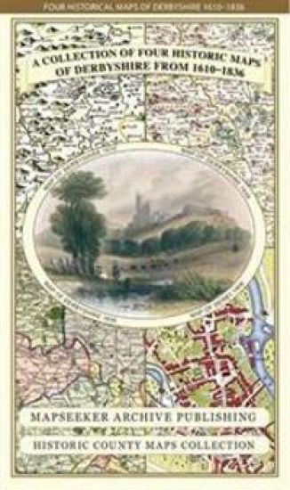
Derbyshire 1610 – 1836 – Fold Up Map that features a collection of Four Historic Maps, John Speed’s County Map 1611, Johan Blaeu’s County Map of 1648, Thomas Moules County Map of 1836 and Cole and Roper’s Plan of the City of Derby 1806. The map’s also features early views of Barlborough Hall, Doveridge House, Chatsworth House and Tissington Hall.
This folded map (890mm x 1000mm when unfolded) is an ideal souvenir for tourists to Derbyshire and also a valuable reference resource for local and family history research. It includes 4 Historic maps of Derbyshire, John Speed's County Map of Derbyshire 1611, Johan Blaeu's County Map of Derbyshire 1648,Thomas Moule's County Map of Derbyshire 1836 and the detailed Town Plan of Derby 1806 by Cole and Roper. All the maps have been meticulously re-produced from antique originals and printed on 90 gsm "Progeo" paper which was specially developed as a map paper. It has high opacity to help reduce show through and a cross grain giving it greater durability to as the map is being folded.
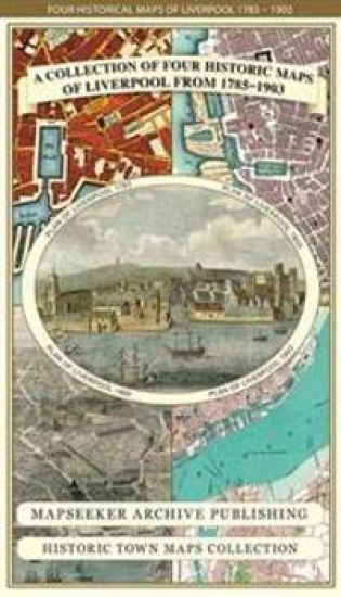
Liverpool 1785-1903 - Fold up Map that includes Charles Eyes detailed Plan of the Township of Liverpool 1785, Cole and Ropers Plan of 1807, Bartholomew's Plan of 1903 and A Birds Eye View of Liverpool 1866.
This folded map (890mm 1000mm when unfolded) is an ideal souvenir for tourists to Liverpool and also a valuable reference resource for local and family history research. The large map is titled "A plan of the Town and Township of Liverpool 1785 by Charles Eves. It has been reproduced in full colour for the first time working from the very rare antique original. What makes this plan unique is the names of all of the land and property holders written across the parcels of land, yet to be built upon that surround the main town of Liverpool. The township of Everton is a distant village, well detached from Liverpool by open fields. The other three maps feature Cole and Ropers Plan of Liverpool from 1805, a Bird's Eye View of Liverpool from 1866 and a more detailed Plan of Liverpool by Bartholomew showing the extensive Docklands in 1903. All the maps have been meticulously re-produced from antique originals and printed on 90 gsm "Progeo" paper which was specially developed as a map paper. It has high opacity to help reduce show through and a cross grain giving it greater durability to as the map is being folded.
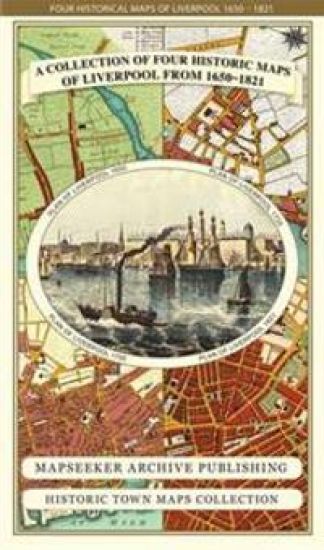
Liverpool 1650 to 1821 - Fold Up Map Containing Town Plans of Liverpool that include Liverpool 1650, 1725, 1795 and Sherwood's plan of Liverpool and Environs 1821
This folded map (890mm 1000mm when unfolded) is an ideal souvenir for tourists to Liverpool and also a valuable reference resource for local and family history research. The larger Plan of Liverpool from 1824 is by Sherwood, reproduced in full colour for the first time working from the rare antique original. It shows in detail the layout of streets, buildings and the famous docks.. The Plan includes the Environs of Liverpool, with Everton at the time on the edge of the town surrounded by fields. The other three detailed plans of Liverpool are dated 1650, 1725 and 1795, and visually show the rapid growth of Liverpool over this period. All the maps have been meticulously re-produced from antique originals and printed on 90 gsm "Progeo" paper which was specially developed as a map paper. It has high opacity to help reduce show through and a cross grain giving it greater durability to as the map is being folded.
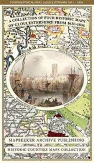
Gloucestershire 1611 – 1836 – Fold Up Map that features a collection of Four Historic Maps, John Speed’s County Map 1611, Johan Blaeu’s County Map of 1648, Thomas Moules County Map of 1836 and a Plan of Gloucester 1805 by Cole and Roper. The maps also feature three historic views of Gloucester from the 1840’s.
This folded map (890mm x 1000mm when unfolded) is an ideal souvenir for tourists to Gloucestershire and also a valuable reference resource for local and family history research. It includes 4 Historic maps of Gloucestershire, John Speed's County Map of Gloucestershire 1611, Johan Blaeu's County Map of Gloucestershire 1648,Thomas Moule's County Map of Gloucestershire 1836 and The City of Gloucester 1805 by Cole and Roper. All the maps have been meticulously re-produced from antique originals and printed on 90 gsm "Progeo" paper which was specially developed as a map paper. It has high opacity to help reduce show through and a cross grain giving it greater durability to as the map is being folded.
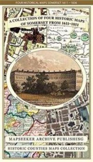
Somersetshire 1611 – 1836 – Fold Up Map that features a collection of Four Historic Maps, John Speed’s County Map 1611, Johan Blaeu’s County Map of 1648, Thomas Moules County Map of 1836 and a Plan of the City of Bath from 1851 by John Tallis. The maps feature a number of vignette views from the period.
This folded map (890mm x 1000mm when unfolded) is an ideal souvenir for tourists to Somersetshire and also a valuable reference resource for local and family history research. It includes 4 Historic maps of Somerset, John Speed's County Map of Somerset 1611, Johan Blaeu's County Map of Somerset 1648,Thomas Moule's County Map of Somerset 1836 and a detailed Plan of The City of Bath 1851 by John Tallis. All the maps have been meticulously re-produced from antique originals and printed on 90 gsm "Progeo" paper which was specially developed as a map paper. It has high opacity to help reduce show through and a cross grain giving it greater durability to as the map is being folded.
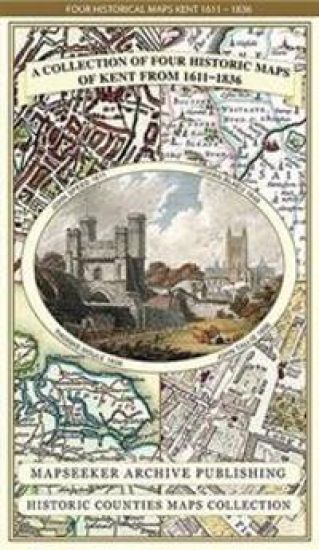
Kent County 1611 – 1836 – Fold Up Map that features a collection of Four Historic Maps, John Speed’s County Map 1611, Johan Blaeu’s County Map of 1648, Thomas Moules County Map of 1836 and a Plan of Canterbury 1806 by Cole and Roper.
This folded map (890mm x 1000mm when unfolded) is an ideal souvenir for tourists to the County of Kent and also a valuable reference resource for local and family history research. It includes 4 Historic Maps of Kent. John Speed's County Map of Kent1611, Johan Blaeu's County Map of Kent 1648, Thomas Moule's County Map of Kent 1836 and the detailed Plan of Canterbury by Cole and Roper 1806 All the maps have been meticulously re-produced from antique originals and printed on 90 gsm "Progeo" paper which was specially developed as a map paper. It has high opacity to help reduce show through and a cross grain giving it greater durability to as the map is being folded.
Thomas Hanson Town Plan of Birmingham 1778

Thomas Hanson Town Plan of Birmingham 1778

Thomas Hanson; Mapseeker Publishing Ltd.

Historical Images Ltd
2013
kartta, viikattu
This fascinating plan of Birmingham in 1778, just after the opening of Birmingham's first canal in 1769, when folded out measures 890mm x 1000mm. It will be a great resource for local historians, family historians and all those interested in the City of Birmingham.
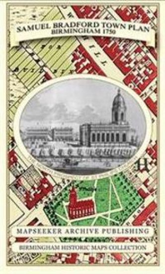
Samuel Bradford Town Plan Birmingham 1750

Samuel Bradford Town Plan Birmingham 1750

Samuel Bradford; Mapseeker Publishing Ltd.

Historical Images Ltd
2013
kartta, viikattu
This is a detailed plan of Birmingham in 1750; just before the beginnings of the Industrial Revolution, when folded out measures 890mm x 1000mm. It will be a great resource for local historians, family historians and all those interested in the City of Birmingham.
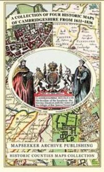
Cambridgeshire 1611 - 1836 - Fold Up Map that includes Four Historic Maps of Cambridgeshire, John Speed's County Map of 1611, Johan Blaeu's County Map of 1648, Thomas Moule's County Map of 1836 and Thomas Moule's Plan of Cambridge City 1836
This folded map (890mm x 1000mm when unfolded) is an ideal souvenir for tourists to Cambridgeshire and also a valuable reference resource for local and family history research. It includes 4 Historic maps of Cambridgeshire
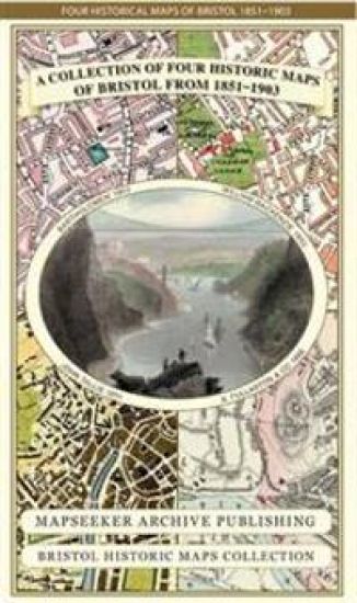
Bristol 1851-1903 - Fold up Map that consists of Four Detailed Street Plans, Bristol 1851 by John Tallis, 1866 by A Fullarton, 1893 by William MacKenzie and 1903 by Bartholomew.
This folded map (890mm x 1000mm) is an ideal souvenir for tourists to Bristol and also a valuable reference resource for local and family history research. It includes 4 Historic maps of Bristol, J. Bartholomew 1903, W. Mackenzie 1893, J. Tallis 1851, A. Fullarton 1866. The maps are very detailed and show the towns and villages from the period.
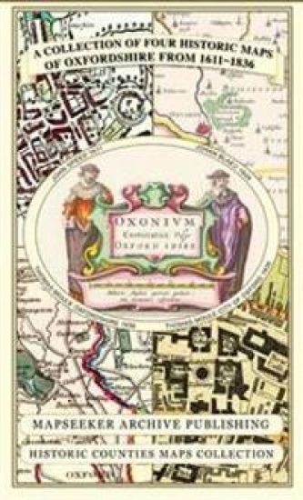
Oxfordshire 1611 - 1836 - Fold Up Map that features a collection of Four Historic Maps, John Speed's County Map 1611, Johan Blaeu's County Map of 1648, Thomas Moules County Map of 1836 and a Plan of Oxford 1836 by Thomas Moule. The maps also feature a number of Oxfords famous historic buildings.
This folded map (890mm x 1000mm when unfolded) is an ideal souvenir for tourists to Oxfordshire and also a valuable reference resource for local and family history research. It includes 4 Historic Maps of Oxfordshire.
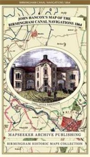
John Hancox's Map of the Birmingham Canal Navigations 1864

John Hancox's Map of the Birmingham Canal Navigations 1864

John Hancox; Mapseeker Publishing Ltd.

Historical Images Ltd
2013
kartta, viikattu
Detailed and fascinating survey map of the Birminghams Canal Navigations re-worked from the rare Hancox original dated 1864. The map folds out to a large 1000mm x 890mm size that is sharp and legible, detailing all the canal navigations covering South Staffs, and part of Warwickshire and Worcestershire.
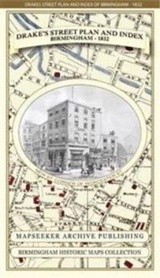
James Drake's Street Plan and Index of Birmingham 1832

James Drake's Street Plan and Index of Birmingham 1832

James Drake; Mapseeker Publishing Ltd.

Historical Images Ltd
2013
kartta, viikattu
Detailed Street Plan and Index of Birmingham from the late Georgian Period. The plan is surrounded both side with fascinating sketches of early 19th century Birmingham buldings. The map folds out to a large 1000mm x 890mm size that is sharp and legible, ideal for family history research.